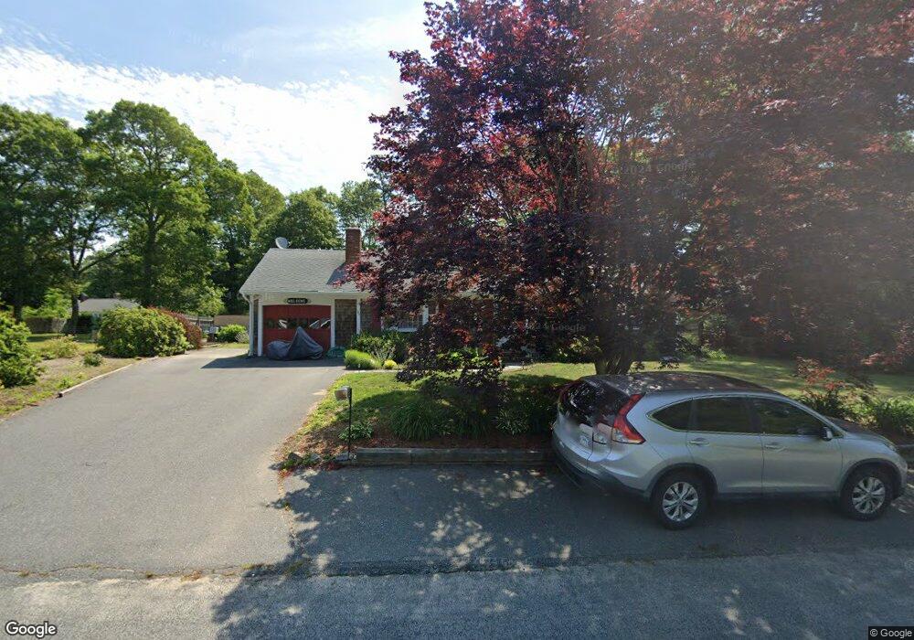
140 Buckskin Path Centerville, MA 02632
Centerville NeighborhoodEstimated Value: $538,000 - $630,000
3
Beds
1
Bath
1,448
Sq Ft
$402/Sq Ft
Est. Value
About This Home
This home is located at 140 Buckskin Path, Centerville, MA 02632 and is currently estimated at $582,736, approximately $402 per square foot. 140 Buckskin Path is a home located in Barnstable County with nearby schools including Centerville Elementary School, Barnstable United Elementary School, and Barnstable Intermediate School.
Ownership History
Date
Name
Owned For
Owner Type
Purchase Details
Closed on
Aug 21, 2023
Sold by
Nielsen Paul A and Nielsen Diane M
Bought by
Nielsen Ret and Nielsen
Current Estimated Value
Purchase Details
Closed on
May 24, 1971
Bought by
Nielsen Paul A and Nielsen Diane M
Create a Home Valuation Report for This Property
The Home Valuation Report is an in-depth analysis detailing your home's value as well as a comparison with similar homes in the area
Home Values in the Area
Average Home Value in this Area
Purchase History
| Date | Buyer | Sale Price | Title Company |
|---|---|---|---|
| Nielsen Ret | -- | None Available | |
| Nielsen Paul A | -- | -- |
Source: Public Records
Mortgage History
| Date | Status | Borrower | Loan Amount |
|---|---|---|---|
| Previous Owner | Nielsen Paul A | $25,000 |
Source: Public Records
Tax History
| Year | Tax Paid | Tax Assessment Tax Assessment Total Assessment is a certain percentage of the fair market value that is determined by local assessors to be the total taxable value of land and additions on the property. | Land | Improvement |
|---|---|---|---|---|
| 2025 | $4,031 | $498,300 | $152,600 | $345,700 |
| 2024 | $3,876 | $496,300 | $152,600 | $343,700 |
| 2023 | $3,646 | $437,200 | $138,700 | $298,500 |
| 2022 | $3,463 | $359,200 | $102,700 | $256,500 |
| 2021 | $3,318 | $312,000 | $102,700 | $209,300 |
| 2020 | $3,360 | $306,600 | $102,700 | $203,900 |
| 2019 | $3,199 | $283,600 | $102,700 | $180,900 |
| 2018 | $2,895 | $258,000 | $108,200 | $149,800 |
| 2017 | $2,699 | $250,800 | $108,200 | $142,600 |
| 2016 | $2,535 | $232,600 | $109,000 | $123,600 |
| 2015 | $2,462 | $226,900 | $105,700 | $121,200 |
Source: Public Records
Map
Nearby Homes
- 315 Prince Hinckley Rd
- 1115 Shootflying Hill Rd
- 51 Larch Ln
- 1309 Shootflying Hill Rd
- 1309 Shootflying Hill Rd
- 900 Old Stage Rd
- 97 Yacht Club Rd
- 52 Windlass Ln
- 82 Yacht Club Rd
- 352 Nye Rd
- 169 Cedric Rd
- 436 Nye Rd
- 53 Meadow Farm Rd
- 19 Marrick Ct
- 87 Foxglove Rd
- 52 Meadow Farm Rd
- 200 Lumbert Mill Rd
- 159 Willow Run Dr
- 73 Tern Ln
- 66 Tern Ln
- 150 Buckskin Path
- 256 Stoney Cliff Rd
- 246 Stoney Cliff Rd
- 25 Rachel Carson Ln
- 139 Buckskin Path
- 162 Buckskin Path
- 22 Rachel Carson Ln
- 151 Buckskin Path
- 274 Stoney Cliff Rd
- 236 Stoney Cliff Rd
- 16 Naushon Cir
- 21 Rachel Carson Ln
- 165 Buckskin Path
- 14 Rachel Carson Ln
- 286 Stoney Cliff Rd
- 110 Buckskin Path
- 302 Skunknet Rd
- 273 Stoney Cliff Rd
- 312 Skunknet Rd
- 9 Rachel Carson Ln
Your Personal Tour Guide
Ask me questions while you tour the home.