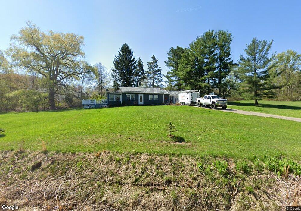
140 Canfield Dr Chardon, OH 44024
Estimated Value: $229,468 - $296,000
3
Beds
1
Bath
1,390
Sq Ft
$191/Sq Ft
Est. Value
About This Home
This home is located at 140 Canfield Dr, Chardon, OH 44024 and is currently estimated at $265,117, approximately $190 per square foot. 140 Canfield Dr is a home located in Geauga County with nearby schools including Chardon High School and St. Mary Elementary School.
Ownership History
Date
Name
Owned For
Owner Type
Purchase Details
Closed on
Oct 21, 2002
Sold by
Dipofi James M and Dipofi Cheryl L
Bought by
Flynn Rudy A and Flynn Linda
Current Estimated Value
Home Financials for this Owner
Home Financials are based on the most recent Mortgage that was taken out on this home.
Original Mortgage
$110,000
Outstanding Balance
$44,796
Interest Rate
6.29%
Estimated Equity
$220,321
Purchase Details
Closed on
Aug 8, 2001
Sold by
Crowe Richard A and Crowe Marjorie M
Bought by
Dipofi James M and Dipofi Cheryl L
Home Financials for this Owner
Home Financials are based on the most recent Mortgage that was taken out on this home.
Original Mortgage
$123,150
Interest Rate
7.23%
Purchase Details
Closed on
Sep 23, 1992
Bought by
Crowe Richard A
Create a Home Valuation Report for This Property
The Home Valuation Report is an in-depth analysis detailing your home's value as well as a comparison with similar homes in the area
Home Values in the Area
Average Home Value in this Area
Purchase History
| Date | Buyer | Sale Price | Title Company |
|---|---|---|---|
| Flynn Rudy A | $150,000 | Real Estate Title | |
| Dipofi James M | $134,000 | Enterprise Title Agency Inc | |
| Crowe Richard A | -- | -- |
Source: Public Records
Mortgage History
| Date | Status | Borrower | Loan Amount |
|---|---|---|---|
| Open | Flynn Rudy A | $110,000 | |
| Previous Owner | Dipofi James M | $123,150 |
Source: Public Records
Tax History
| Year | Tax Paid | Tax Assessment Tax Assessment Total Assessment is a certain percentage of the fair market value that is determined by local assessors to be the total taxable value of land and additions on the property. | Land | Improvement |
|---|---|---|---|---|
| 2024 | $2,901 | $58,450 | $15,750 | $42,700 |
| 2023 | $2,895 | $58,450 | $15,750 | $42,700 |
| 2022 | $2,670 | $46,240 | $13,130 | $33,110 |
| 2021 | $2,659 | $46,240 | $13,130 | $33,110 |
| 2020 | $2,610 | $46,240 | $13,130 | $33,110 |
| 2019 | $2,347 | $40,960 | $13,130 | $27,830 |
| 2018 | $2,507 | $40,960 | $13,130 | $27,830 |
| 2017 | $2,347 | $40,960 | $13,130 | $27,830 |
| 2016 | $2,380 | $40,750 | $13,130 | $27,620 |
| 2015 | $2,297 | $40,750 | $13,130 | $27,620 |
| 2014 | $2,297 | $40,750 | $13,130 | $27,620 |
| 2013 | $2,283 | $40,750 | $13,130 | $27,620 |
Source: Public Records
Map
Nearby Homes
- 400 North St
- 0 Clarkwood Dr
- 234 N Hambden St
- 207 Water St
- 449 N Hambden St
- 123 Ferris Ave
- 331 Irma Dr
- VL Wilson Mills Rd
- 108 Gentry Ct
- 116 Fox Pointe Dr
- 9685 Campton Ridge Dr
- 104 Bentwood Dr
- 102 Hidden Glen Trail
- 13149 Gar Hwy
- 11200 Aquilla Rd
- 148 Pine Hollow Cir
- 10560 Auburn Rd
- 104 Pine Hollow Cir
- 13009 Kevin Ln
- 12032 Nicki Ln
- 120 Canfield Dr
- 147 Canfield Dr
- 137 Canfield Dr
- 123 Canfield Dr
- 172 Canfield Dr
- 115 Canfield Dr
- 450 North St
- 438 North St Unit 15B
- 438 North St
- 438 North St Unit 14B
- 438 North St Unit A
- 438 North St
- 438 North St Unit 12B
- 438 North St
- 438 North St Unit 11B
- 438 North St
- 438 North St Unit B
- 438 North St
- 438 North St
- 438 North St