140 Cannon Rd Sharpsburg, GA 30277
Estimated Value: $179,000 - $314,000
3
Beds
1
Bath
1,128
Sq Ft
$211/Sq Ft
Est. Value
About This Home
This home is located at 140 Cannon Rd, Sharpsburg, GA 30277 and is currently estimated at $238,176, approximately $211 per square foot. 140 Cannon Rd is a home located in Coweta County with nearby schools including Poplar Road Elementary School, East Coweta Middle School, and East Coweta High School.
Ownership History
Date
Name
Owned For
Owner Type
Purchase Details
Closed on
Oct 26, 2006
Sold by
Geay Joanne
Bought by
Geay Claude M and Christian Joanne
Current Estimated Value
Home Financials for this Owner
Home Financials are based on the most recent Mortgage that was taken out on this home.
Original Mortgage
$123,000
Outstanding Balance
$83,773
Interest Rate
9.29%
Mortgage Type
New Conventional
Estimated Equity
$154,403
Purchase Details
Closed on
Jan 30, 1990
Bought by
Geay Joanne and Geay Claude
Purchase Details
Closed on
Nov 30, 1988
Bought by
Living Word Ministry
Create a Home Valuation Report for This Property
The Home Valuation Report is an in-depth analysis detailing your home's value as well as a comparison with similar homes in the area
Home Values in the Area
Average Home Value in this Area
Purchase History
| Date | Buyer | Sale Price | Title Company |
|---|---|---|---|
| Geay Claude M | -- | -- | |
| Geay Joanne | $2,000 | -- | |
| Living Word Ministry | $35,400 | -- |
Source: Public Records
Mortgage History
| Date | Status | Borrower | Loan Amount |
|---|---|---|---|
| Open | Geay Claude M | $123,000 |
Source: Public Records
Tax History Compared to Growth
Tax History
| Year | Tax Paid | Tax Assessment Tax Assessment Total Assessment is a certain percentage of the fair market value that is determined by local assessors to be the total taxable value of land and additions on the property. | Land | Improvement |
|---|---|---|---|---|
| 2025 | $285 | $46,056 | $10,855 | $35,202 |
| 2024 | $257 | $42,692 | $5,772 | $36,920 |
| 2023 | $257 | $48,952 | $9,267 | $39,685 |
| 2022 | $195 | $32,268 | $5,296 | $26,972 |
| 2021 | $156 | $26,638 | $3,273 | $23,365 |
| 2020 | $155 | $26,638 | $3,273 | $23,365 |
| 2019 | $238 | $31,954 | $8,972 | $22,982 |
| 2018 | $240 | $31,954 | $8,972 | $22,982 |
| 2017 | $797 | $31,954 | $8,971 | $22,983 |
| 2016 | $789 | $31,954 | $8,972 | $22,982 |
| 2015 | $778 | $31,954 | $8,972 | $22,982 |
| 2014 | $775 | $31,954 | $8,972 | $22,982 |
Source: Public Records
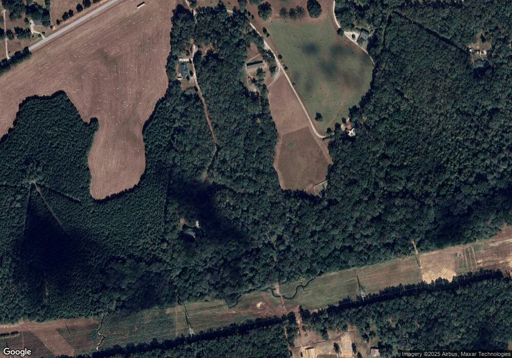
Map
Nearby Homes
- 0 Cannon Rd Unit 7627017
- 0 Cannon Rd Unit 10566028
- 4083 Highway 54
- 215 Grey Fairs Ave
- 465 Little Rd
- 98 Ryeland Dr
- 136 Ryeland Dr
- 143 Ryeland Dr
- 65 Oakhurst Trail
- 69 Oakhurst Trail
- 2725 Gordon Rd
- 165 Durham Estates Dr
- 83 Homesite Slick Ct
- 88 Slick Ct
- 2963 Gordon Rd
- 565 Timberbrook Dr
- 49 Durham Estates Dr
- 2812 Highway 16 E
- 30 Hunter Farm Dr
- 2784 Martin Mill Rd