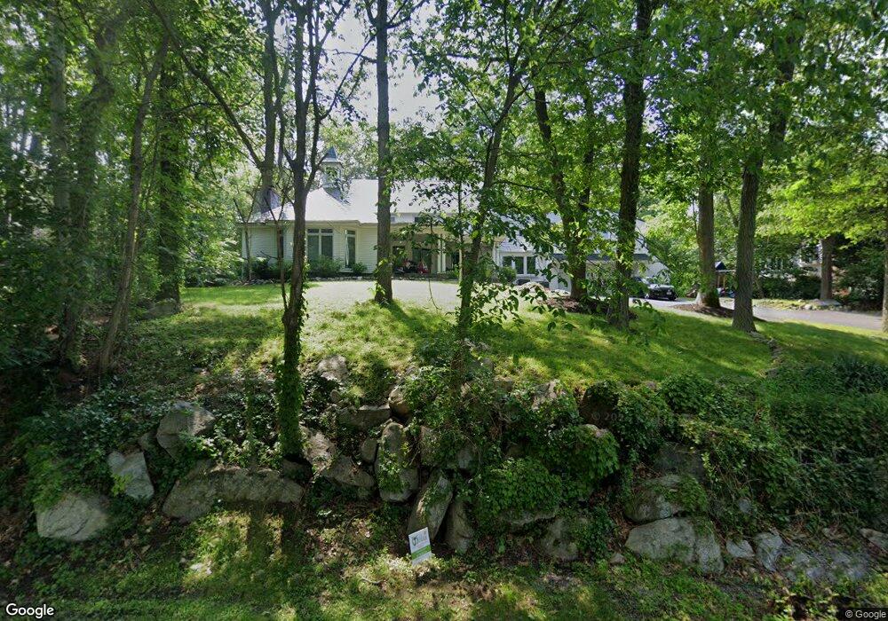
140 Canton St North Easton, MA 02356
Estimated Value: $897,000 - $1,069,000
4
Beds
3
Baths
3,401
Sq Ft
$294/Sq Ft
Est. Value
About This Home
This home is located at 140 Canton St, North Easton, MA 02356 and is currently estimated at $1,000,286, approximately $294 per square foot. 140 Canton St is a home located in Bristol County with nearby schools including Easton Middle School.
Ownership History
Date
Name
Owned For
Owner Type
Purchase Details
Closed on
May 18, 2007
Sold by
Bratt Adele M and Bratt Robert A
Bought by
Jeffs Edward M and Inman Kristi K
Current Estimated Value
Home Financials for this Owner
Home Financials are based on the most recent Mortgage that was taken out on this home.
Original Mortgage
$416,300
Outstanding Balance
$250,875
Interest Rate
6.18%
Mortgage Type
Purchase Money Mortgage
Estimated Equity
$749,411
Create a Home Valuation Report for This Property
The Home Valuation Report is an in-depth analysis detailing your home's value as well as a comparison with similar homes in the area
Home Values in the Area
Average Home Value in this Area
Purchase History
| Date | Buyer | Sale Price | Title Company |
|---|---|---|---|
| Jeffs Edward M | $571,000 | -- | |
| Jeffs Edward M | $571,000 | -- |
Source: Public Records
Mortgage History
| Date | Status | Borrower | Loan Amount |
|---|---|---|---|
| Open | Jeffs Edward M | $416,300 | |
| Closed | Jeffs Edward M | $416,300 | |
| Previous Owner | Jeffs Edward M | $750,000 | |
| Previous Owner | Jeffs Edward M | $100,000 |
Source: Public Records
Tax History Compared to Growth
Tax History
| Year | Tax Paid | Tax Assessment Tax Assessment Total Assessment is a certain percentage of the fair market value that is determined by local assessors to be the total taxable value of land and additions on the property. | Land | Improvement |
|---|---|---|---|---|
| 2025 | $10,718 | $858,800 | $379,500 | $479,300 |
| 2024 | $11,149 | $835,100 | $358,600 | $476,500 |
| 2023 | $10,899 | $747,000 | $358,600 | $388,400 |
| 2022 | $10,294 | $668,900 | $294,800 | $374,100 |
| 2021 | $9,964 | $643,700 | $269,600 | $374,100 |
| 2020 | $9,583 | $623,100 | $259,700 | $363,400 |
| 2019 | $9,587 | $600,700 | $0 | $0 |
| 2018 | $9,384 | $578,900 | $254,000 | $324,900 |
| 2017 | $9,038 | $557,200 | $254,000 | $303,200 |
| 2016 | $8,623 | $532,600 | $259,700 | $272,900 |
| 2015 | $7,996 | $476,500 | $213,300 | $263,200 |
| 2014 | $7,924 | $475,900 | $216,100 | $259,800 |
Source: Public Records
Map
Nearby Homes
- 175 N Main St
- 93 Palisades Cir
- 12 Holmes St
- 15 King Ave
- 8 Hobart Way
- 1600 West St
- 1 Whittier Ln Unit 1
- 11 Olde Stable Ln
- 18 Prudence Crandall Ln Unit 18
- 4 Eagle Rock Rd
- 67 Center St
- 224 Main St
- 225 Main St
- 56 Williams St
- Lot 8 Cooper Ln
- 32 Spooner St
- 14 Marshall Rd
- 334-336 Main St
- 37 Kingsley Rd
- 280 Washington St
- 148 Canton St
- 136 Canton St
- 150 Canton St
- 154 Canton St
- 117 Canton St
- 158 Canton St
- 132 Canton St
- 109 Canton St
- 109 Canton St Unit 1
- 190 Canton St
- 113 Canton St
- 113 Canton St Unit 1
- 113 Canton St Unit 2
- 105 Canton St
- 12 Harvey Ln
- 17 Elderberry Dr
- 19 Elderberry Dr
- 17 Elderberry Dr Unit 17
- 19 Elderberry Dr Unit 19
- 101 Canton St