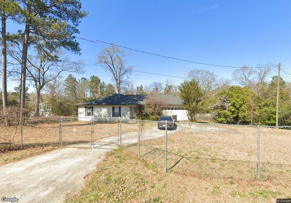
140 Carter Cir Warner Robins, GA 31093
Estimated Value: $153,000 - $213,208
3
Beds
2
Baths
1,676
Sq Ft
$111/Sq Ft
Est. Value
About This Home
This home is located at 140 Carter Cir, Warner Robins, GA 31093 and is currently estimated at $185,302, approximately $110 per square foot. 140 Carter Cir is a home located in Houston County with nearby schools including Westside Elementary School, Northside Middle School, and Northside High School.
Ownership History
Date
Name
Owned For
Owner Type
Purchase Details
Closed on
Sep 21, 2023
Sold by
Thompson Karen Lynne
Bought by
Tankersley Diana L
Current Estimated Value
Purchase Details
Closed on
Dec 20, 2000
Sold by
Thompson Gerald W
Bought by
Thompson Gerald W and Karen L*
Purchase Details
Closed on
Nov 3, 2000
Sold by
Neff Denise G
Bought by
Thompson Gerald W
Purchase Details
Closed on
Oct 20, 1980
Sold by
Mcallister Clarence P
Bought by
Kay Timothy F and Kay Denise G
Purchase Details
Closed on
Apr 25, 1977
Sold by
Mcallister Hazel D
Bought by
Mcallister Clarence P
Purchase Details
Closed on
May 3, 1976
Sold by
Mcallister Clarence P
Bought by
Mcallister Clarence P and Mcallister Hazel
Purchase Details
Closed on
Oct 26, 1972
Sold by
Cravey Isaac J and Cravey Colleen D
Bought by
Mcallister Clarence P and Mcallister Hazel
Purchase Details
Closed on
Jun 1, 1972
Sold by
O'Neal E Dean
Bought by
Cravey Isaac J and Cravey Colleen D
Purchase Details
Closed on
May 1, 1970
Bought by
O'Neal E Dean
Create a Home Valuation Report for This Property
The Home Valuation Report is an in-depth analysis detailing your home's value as well as a comparison with similar homes in the area
Home Values in the Area
Average Home Value in this Area
Purchase History
| Date | Buyer | Sale Price | Title Company |
|---|---|---|---|
| Tankersley Diana L | -- | None Listed On Document | |
| Thompson Gerald W | -- | -- | |
| Thompson Gerald W | $76,000 | -- | |
| Neff Denise G Kay F | -- | -- | |
| Kay Timothy F | -- | -- | |
| Mcallister Clarence P | -- | -- | |
| Mcallister Clarence P | -- | -- | |
| Mcallister Clarence P | -- | -- | |
| Cravey Isaac J | -- | -- | |
| O'Neal E Dean | -- | -- |
Source: Public Records
Tax History
| Year | Tax Paid | Tax Assessment Tax Assessment Total Assessment is a certain percentage of the fair market value that is determined by local assessors to be the total taxable value of land and additions on the property. | Land | Improvement |
|---|---|---|---|---|
| 2024 | $1,295 | $56,120 | $5,560 | $50,560 |
| 2023 | $1,160 | $48,000 | $7,080 | $40,920 |
| 2022 | $1,069 | $44,240 | $7,080 | $37,160 |
| 2021 | $954 | $39,280 | $7,080 | $32,200 |
| 2020 | $971 | $39,800 | $7,080 | $32,720 |
| 2019 | $971 | $39,800 | $7,080 | $32,720 |
| 2018 | $971 | $39,800 | $7,080 | $32,720 |
| 2017 | $972 | $39,800 | $7,080 | $32,720 |
| 2016 | $974 | $39,800 | $7,080 | $32,720 |
| 2015 | $976 | $39,800 | $7,080 | $32,720 |
| 2014 | -- | $39,800 | $7,080 | $32,720 |
| 2013 | -- | $39,800 | $7,880 | $31,920 |
Source: Public Records
Map
Nearby Homes
- 209 Knodishall Dr
- 108 Madison Ave
- 111 Hawthorne Rd
- 112 Holt Ave
- 102 Hemlock St
- 221 Gilchrist Dr
- 104 Heather St
- 103 Westcliff Cir Unit A
- 103 Westcliff Cir Unit A
- 111 Laurel Oak Ln
- 112 Peacock Dr
- 225 Woodland Trail
- 110 Wray St
- 301 Millside Dr
- 3220 Mason Dr
- 102 Westcliff Center St Unit D
- 857 Ola Dr
- 110 Foxfire Dr
- 141 Peacock Dr
- 123 Tanglewood Dr
- 138 Carter Cir
- 142 Carter Cir
- 500 Mauk Cir
- 133 Carter Cir
- 155 Carter Cir
- 134 Carter Cir
- 403 Mauk Cir
- 152 Carter Cir
- 152 Carter Cir Unit 1.571
- 132 Carter Cir
- 129 Carter Cir
- 130 Carter Cir
- 156 Carter Cir
- 402 Mauk Cir
- 128 Carter Cir
- 127 Carter Cir
- 223 Knodishall Dr
- 225 Knodishall Dr
- 0 Carter Cir Unit LOT 34 OAKVIEW 139/5
- 38.402ac Carter Cir Unit 139
Your Personal Tour Guide
Ask me questions while you tour the home.