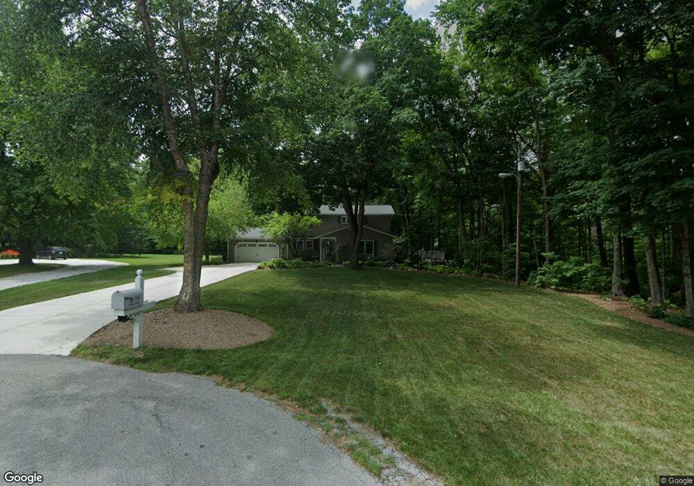
140 Colony Rd West Lafayette, IN 47906
Estimated Value: $444,882 - $556,000
--
Bed
1
Bath
3,163
Sq Ft
$159/Sq Ft
Est. Value
About This Home
This home is located at 140 Colony Rd, West Lafayette, IN 47906 and is currently estimated at $504,221, approximately $159 per square foot. 140 Colony Rd is a home located in Tippecanoe County with nearby schools including Burnett Creek Elementary School, Battle Ground Middle School, and William Henry Harrison High School.
Ownership History
Date
Name
Owned For
Owner Type
Purchase Details
Closed on
Feb 20, 2003
Sold by
Bridge Thomas A and Bridge Beth A
Bought by
Bridge Beth A and Bridge Thomas A
Current Estimated Value
Home Financials for this Owner
Home Financials are based on the most recent Mortgage that was taken out on this home.
Original Mortgage
$229,600
Interest Rate
6.06%
Create a Home Valuation Report for This Property
The Home Valuation Report is an in-depth analysis detailing your home's value as well as a comparison with similar homes in the area
Home Values in the Area
Average Home Value in this Area
Purchase History
| Date | Buyer | Sale Price | Title Company |
|---|---|---|---|
| Bridge Beth A | -- | -- | |
| Bridge Thomas A | -- | -- |
Source: Public Records
Mortgage History
| Date | Status | Borrower | Loan Amount |
|---|---|---|---|
| Closed | Bridge Thomas A | $229,600 |
Source: Public Records
Tax History Compared to Growth
Tax History
| Year | Tax Paid | Tax Assessment Tax Assessment Total Assessment is a certain percentage of the fair market value that is determined by local assessors to be the total taxable value of land and additions on the property. | Land | Improvement |
|---|---|---|---|---|
| 2024 | $2,690 | $360,300 | $49,600 | $310,700 |
| 2023 | $2,410 | $335,000 | $49,600 | $285,400 |
| 2022 | $2,332 | $304,600 | $49,600 | $255,000 |
| 2021 | $2,131 | $291,400 | $49,600 | $241,800 |
| 2020 | $1,947 | $268,800 | $49,600 | $219,200 |
| 2019 | $1,884 | $268,800 | $49,600 | $219,200 |
| 2018 | $1,834 | $267,200 | $48,000 | $219,200 |
| 2017 | $1,765 | $259,300 | $48,000 | $211,300 |
| 2016 | $1,734 | $257,500 | $48,000 | $209,500 |
| 2014 | $1,564 | $237,800 | $48,000 | $189,800 |
| 2013 | $1,627 | $235,700 | $48,000 | $187,700 |
Source: Public Records
Map
Nearby Homes
- 213 Hartman Ct
- 301 Overlook Dr
- 218 Myrtle Dr
- 3040 Hamilton St
- 2861 Linda Ln W
- 448 Westview Cir
- 3056 Benton St
- 2825 Henderson St
- 2801 Henderson St
- 10 Steuben Ct
- 112 Northwood Dr
- 624 Kent Ave
- 2843 Barlow St
- 631 Kent Ave
- 106 W Navajo St
- 3425 Morgan St
- 3507 Wakefield Dr
- 3332 Shrewsbury Dr
- 1868 N River Rd
- 3449 Brixford Ln
- 130 Colony Rd
- 150 Colony Rd
- 229 Hartman Ct
- 120 Colony Rd
- 233 Hartman Ct
- 225 Hartman Ct
- 120 Colony Rd
- 221 Hartman Ct
- 237 Hartman Ct
- 110 Colony Rd
- 224 Cedar Hollow Ct
- 217 Hartman Ct
- 241 Hartman Ct
- 228 Hartman Ct
- 220 Cedar Hollow Ct
- 232 Hartman Ct
- 100 Colony Rd
- 220 Hartman Ct
- 225 Cedar Hollow Ct
- 216 Cedar Hollow Ct