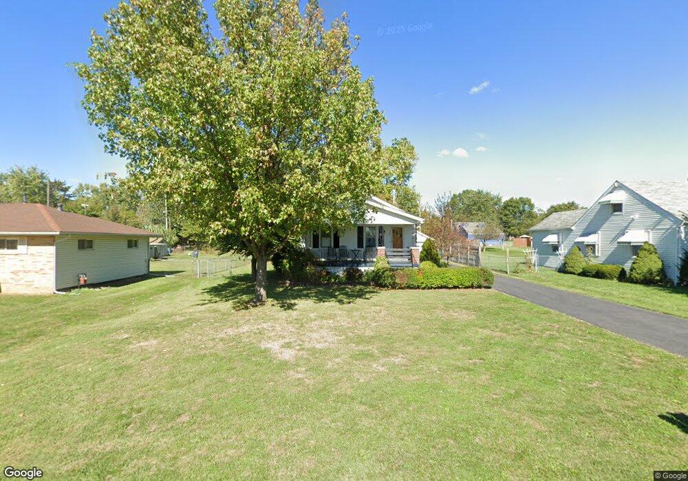
140 Colton Rd Columbus, OH 43207
Obetz-Lockbourne NeighborhoodEstimated Value: $147,000 - $211,000
2
Beds
1
Bath
912
Sq Ft
$199/Sq Ft
Est. Value
About This Home
This home is located at 140 Colton Rd, Columbus, OH 43207 and is currently estimated at $181,230, approximately $198 per square foot. 140 Colton Rd is a home located in Franklin County with nearby schools including Parsons Elementary School, Buckeye Middle School, and Marion-Franklin High School.
Ownership History
Date
Name
Owned For
Owner Type
Purchase Details
Closed on
Aug 30, 2002
Sold by
Lane Robert G and Lane Robert G
Bought by
Lane Robert G and Lane Elena V
Current Estimated Value
Home Financials for this Owner
Home Financials are based on the most recent Mortgage that was taken out on this home.
Original Mortgage
$72,000
Outstanding Balance
$29,567
Interest Rate
6.54%
Mortgage Type
Purchase Money Mortgage
Estimated Equity
$151,663
Purchase Details
Closed on
Sep 18, 1989
Bought by
Lane Robert G
Purchase Details
Closed on
Jun 19, 1989
Create a Home Valuation Report for This Property
The Home Valuation Report is an in-depth analysis detailing your home's value as well as a comparison with similar homes in the area
Home Values in the Area
Average Home Value in this Area
Purchase History
| Date | Buyer | Sale Price | Title Company |
|---|---|---|---|
| Lane Robert G | -- | Titlequest Agency Inc | |
| Lane Robert G | $47,500 | -- | |
| -- | $24,000 | -- |
Source: Public Records
Mortgage History
| Date | Status | Borrower | Loan Amount |
|---|---|---|---|
| Open | Lane Robert G | $72,000 |
Source: Public Records
Tax History
| Year | Tax Paid | Tax Assessment Tax Assessment Total Assessment is a certain percentage of the fair market value that is determined by local assessors to be the total taxable value of land and additions on the property. | Land | Improvement |
|---|---|---|---|---|
| 2025 | $2,072 | $46,170 | $16,630 | $29,540 |
| 2024 | $2,072 | $46,170 | $16,630 | $29,540 |
| 2023 | $2,046 | $46,165 | $16,625 | $29,540 |
| 2022 | $1,505 | $29,020 | $13,510 | $15,510 |
| 2021 | $1,508 | $29,020 | $13,510 | $15,510 |
| 2020 | $1,510 | $29,020 | $13,510 | $15,510 |
| 2019 | $1,523 | $25,100 | $11,760 | $13,340 |
| 2018 | $1,400 | $25,100 | $11,760 | $13,340 |
| 2017 | $1,466 | $25,100 | $11,760 | $13,340 |
| 2016 | $1,410 | $21,290 | $5,920 | $15,370 |
| 2015 | $1,280 | $21,290 | $5,920 | $15,370 |
| 2014 | $1,283 | $21,290 | $5,920 | $15,370 |
| 2013 | $666 | $22,400 | $6,230 | $16,170 |
Source: Public Records
Map
Nearby Homes
- 256 Rumsey Rd Unit 258
- 3458 S 8th St
- 3325 Parsons Ave
- 3204 Lee Ellen Place
- 245 Marilla Rd
- 228 Currier Dr
- 211 Delaney Dr
- 445 Basswood Rd
- 3127 Parsons Ave
- 525 Ashwood Rd
- 3714 Parsons Ave
- 3234 E Ave
- 1633-1635 E Greenway Ave
- 484 Cedarwood Rd
- 3691 Ferman Rd
- 577 Barcher Rd
- 0 Parsons Ave Unit 225012522
- 460 Coulter Ave
- 0 Jana Kay Ct
- 691 Colton Rd
Your Personal Tour Guide
Ask me questions while you tour the home.