140 E Forest Way Oxford, GA 30054
Estimated Value: $474,000 - $668,000
4
Beds
3
Baths
2,984
Sq Ft
$185/Sq Ft
Est. Value
About This Home
This home is located at 140 E Forest Way, Oxford, GA 30054 and is currently estimated at $553,165, approximately $185 per square foot. 140 E Forest Way is a home located in Newton County with nearby schools including Flint Hill Elementary School, Cousins Middle School, and Newton High School.
Ownership History
Date
Name
Owned For
Owner Type
Purchase Details
Closed on
Sep 20, 2022
Sold by
Kimble Stephen J
Bought by
Kimble Stephen J and Kimble Billie Ann
Current Estimated Value
Purchase Details
Closed on
Aug 30, 2004
Sold by
Henry James F and Henry Alice
Bought by
Kimble Stephen J and Kimble Pamela
Home Financials for this Owner
Home Financials are based on the most recent Mortgage that was taken out on this home.
Original Mortgage
$292,000
Interest Rate
3.8%
Mortgage Type
New Conventional
Purchase Details
Closed on
Jul 26, 2001
Sold by
Henry James F
Bought by
Henry James F and Henry Alice F
Create a Home Valuation Report for This Property
The Home Valuation Report is an in-depth analysis detailing your home's value as well as a comparison with similar homes in the area
Home Values in the Area
Average Home Value in this Area
Purchase History
| Date | Buyer | Sale Price | Title Company |
|---|---|---|---|
| Kimble Stephen J | -- | -- | |
| Kimble Stephen J | $365,000 | -- | |
| Henry James F | -- | -- |
Source: Public Records
Mortgage History
| Date | Status | Borrower | Loan Amount |
|---|---|---|---|
| Previous Owner | Kimble Stephen J | $292,000 |
Source: Public Records
Tax History Compared to Growth
Tax History
| Year | Tax Paid | Tax Assessment Tax Assessment Total Assessment is a certain percentage of the fair market value that is determined by local assessors to be the total taxable value of land and additions on the property. | Land | Improvement |
|---|---|---|---|---|
| 2024 | $3,425 | $187,120 | $23,160 | $163,960 |
| 2023 | $3,712 | $176,240 | $23,160 | $153,080 |
| 2022 | $2,891 | $146,080 | $17,440 | $128,640 |
| 2021 | $2,517 | $122,720 | $17,440 | $105,280 |
| 2020 | $3,384 | $115,280 | $17,440 | $97,840 |
| 2019 | $3,490 | $116,960 | $17,440 | $99,520 |
| 2018 | $3,127 | $105,800 | $17,440 | $88,360 |
| 2017 | $2,697 | $93,360 | $17,320 | $76,040 |
| 2016 | $2,301 | $83,760 | $15,880 | $67,880 |
| 2015 | $2,311 | $84,120 | $15,880 | $68,240 |
| 2014 | $2,203 | $79,800 | $0 | $0 |
Source: Public Records
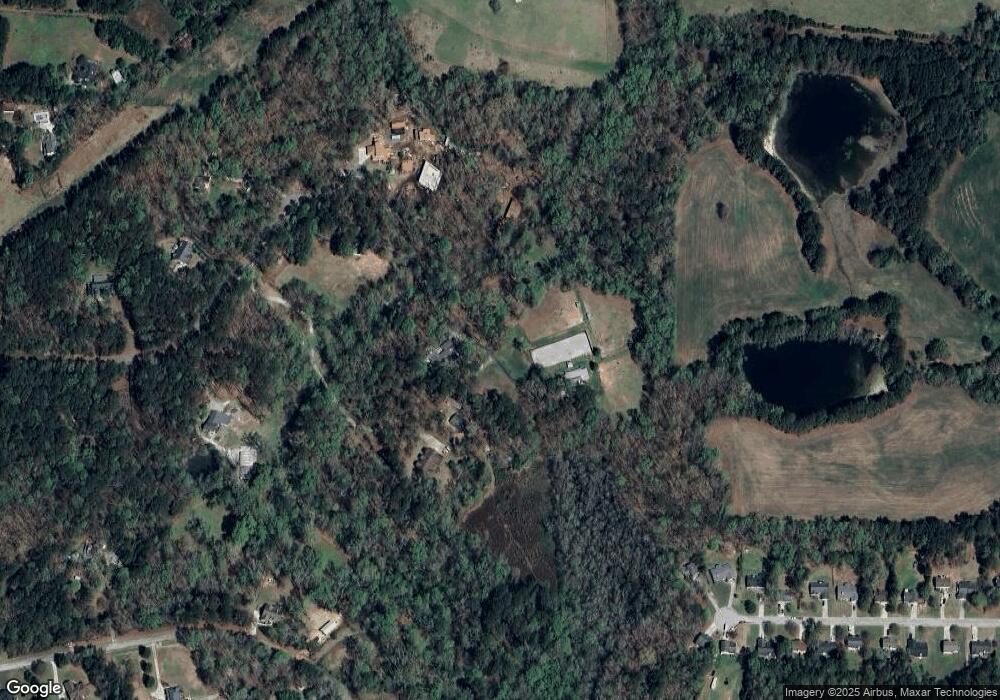
Map
Nearby Homes
- 1830 Mount Zion Rd
- 40 Costleys Bridge Dr
- 2528 Stream View Dr
- 2538 Mount Zion Rd
- 370 Hightower Trail
- 0 Stream View Dr Unit LOT 19
- 0 Kent Rock Rd Unit Tract 3 CM1025514
- 0 Kent Rock Rd Unit 1025511
- 0 Kent Rock Rd Unit TRACT 3 10511414
- 0 Kent Rock Rd Unit 23453234
- 0 Kent Rock Rd Unit 10511296
- 1487 Mount Zion Rd
- 2040 Costley Mill Rd NE
- Kent Rock Road Unit: Tract 3
- Kent Rock Road Unit: Tract 5
- 0 Salem Church Rd NE Unit 10167606
- 85 Highlands Way
- 90 Kent Rock Rd
- 55 Ashland Farm Rd
- 110 Kent Rock Rd
- 120 E Forest Way
- 160 E Forest Way
- 95 Gum Creek Cir
- 80 E Forest Way
- 155 E Forest Way
- 125 Gum Creek Cir
- 125 E Forest Way
- 230 Marbrook Trace
- 55 E Forest Way
- 220 Marbrook Trace
- E E Forest Way
- 40 E Forest Way
- 145 Gum Creek Cir
- 210 Marbrook Trace
- 210 Marbrook Trace Unit 32
- 225 Marbrook Trace
- 45 Gum Creek Cir
- 215 Marbrook Trace
- 2440 Mount Zion Rd
- 200 Marbrook Trace Unit 31