Estimated Value: $371,000 - $449,204
Studio
--
Bath
312
Sq Ft
$1,314/Sq Ft
Est. Value
About This Home
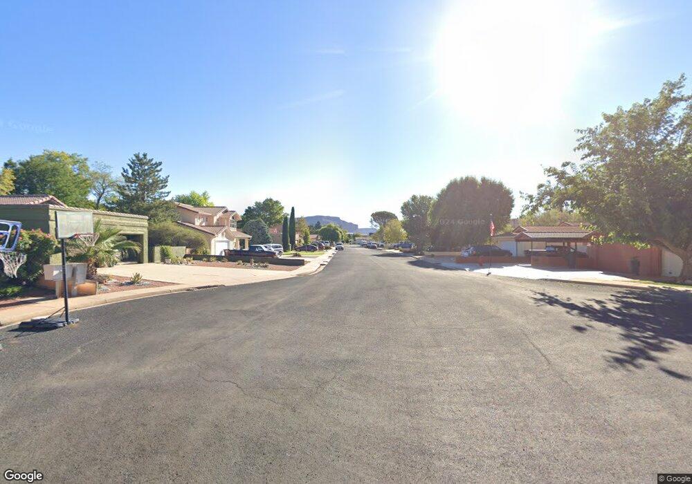
This home is located at 140 E Red Shadow Cir, Kanab, UT 84741 and is currently estimated at $410,102, approximately $1,314 per square foot. 140 E Red Shadow Cir is a home with nearby schools including Valley Elementary School and Valley High School.
Ownership History
Date
Name
Owned For
Owner Type
Purchase Details
Closed on
Sep 25, 2008
Sold by
Lamb Tia S
Bought by
Hoyt Marvin B and Hoyt Brandy A
Current Estimated Value
Purchase Details
Closed on
Jul 25, 2008
Sold by
Hoyt Marvin B and Hoyt Brandy A
Bought by
Heaton William Earl and Heaton Catharine Suran
Purchase Details
Closed on
Jul 18, 2008
Sold by
Lamb Tia S
Bought by
Heaton William Earl and Heaton Catharine Suran
Purchase Details
Closed on
Jul 10, 2006
Sold by
Rowland William A and Rowland Esther
Bought by
Hoyt Marvin B and Hoyt Brandy A
Home Financials for this Owner
Home Financials are based on the most recent Mortgage that was taken out on this home.
Original Mortgage
$35,700
Interest Rate
6.63%
Create a Home Valuation Report for This Property
The Home Valuation Report is an in-depth analysis detailing your home's value as well as a comparison with similar homes in the area
Purchase History
| Date | Buyer | Sale Price | Title Company |
|---|---|---|---|
| Hoyt Marvin B | -- | -- | |
| Heaton William Earl | -- | -- | |
| Hoyt Marvin B | -- | -- | |
| Heaton William Earl | -- | -- | |
| Hoyt Marvin B | -- | -- |
Source: Public Records
Mortgage History
| Date | Status | Borrower | Loan Amount |
|---|---|---|---|
| Previous Owner | Hoyt Marvin B | $35,700 |
Source: Public Records
Tax History
| Year | Tax Paid | Tax Assessment Tax Assessment Total Assessment is a certain percentage of the fair market value that is determined by local assessors to be the total taxable value of land and additions on the property. | Land | Improvement |
|---|---|---|---|---|
| 2025 | $2,232 | $488,374 | $43,459 | $444,915 |
| 2024 | $2,215 | $264,281 | $22,763 | $241,518 |
| 2023 | $1,942 | $241,241 | $21,679 | $219,562 |
| 2022 | $1,913 | $209,494 | $22,594 | $186,900 |
| 2021 | $1,802 | $292,999 | $31,600 | $261,399 |
| 2020 | $1,852 | $292,999 | $31,600 | $261,399 |
| 2019 | $1,688 | $259,172 | $31,600 | $227,572 |
| 2018 | $1,700 | $259,172 | $31,600 | $227,572 |
| 2017 | $1,602 | $239,652 | $31,600 | $208,052 |
| 2016 | $1,642 | $239,652 | $31,600 | $208,052 |
| 2015 | $1,499 | $239,652 | $31,600 | $208,052 |
| 2014 | $1,499 | $217,127 | $31,600 | $185,527 |
| 2013 | -- | $119,420 | $0 | $0 |
Source: Public Records
Map
Nearby Homes
- 421 White Sands Way Unit D
- 421 White Sands Way Unit B
- 0 W White Cliffs Dr Unit 1409195
- 23 W White Cliffs Dr Unit 23
- 10915 S Pinyon Pine Dr
- 1045 S Pinyon Pine Dr
- 618 W Cedar Dr
- 95 E 100 N
- 0 Bench Rd
- 325 N Main St
- 0 Hwy 89 Unit 1408986
- 1 Caruso Ln Unit 1
- 35 Prickley Pear Pinyon Pine Dr Unit 35
- 6 Caruso Ln Unit 6
- 12 Block "C" St Unit 8A-C12
- 12 Mountain View Dr Unit 12
- 5 Caruso Ln Unit 5
- 2 Caruso Ln Unit 2
- 3 Caruso Ln Unit 1
- 9 St
- 134 E Red Hollow Dr
- 160 E Red Shadow Cir
- 100 E 200 S
- 1 Red Hollow Dr
- 161 E Red Shadow Cir
- 190 E Red Shadow Cir
- 145 E Red Shadow Cir
- 194 E Red Shadow Cir
- 181 E Red Shadow Cir
- 65 E 200 S
- 200 E Red Hollow Dr
- 35 E 200 S
- 135 S 100 E
- 130 100 E
- 130 S 130 S 100 E
- 210 E Red Hollow Dr
- 325 E Comfort Circle Dr
- 110 S 200 E
- 110 S 100 E
- 211 S Center St
Your Personal Tour Guide
Ask me questions while you tour the home.