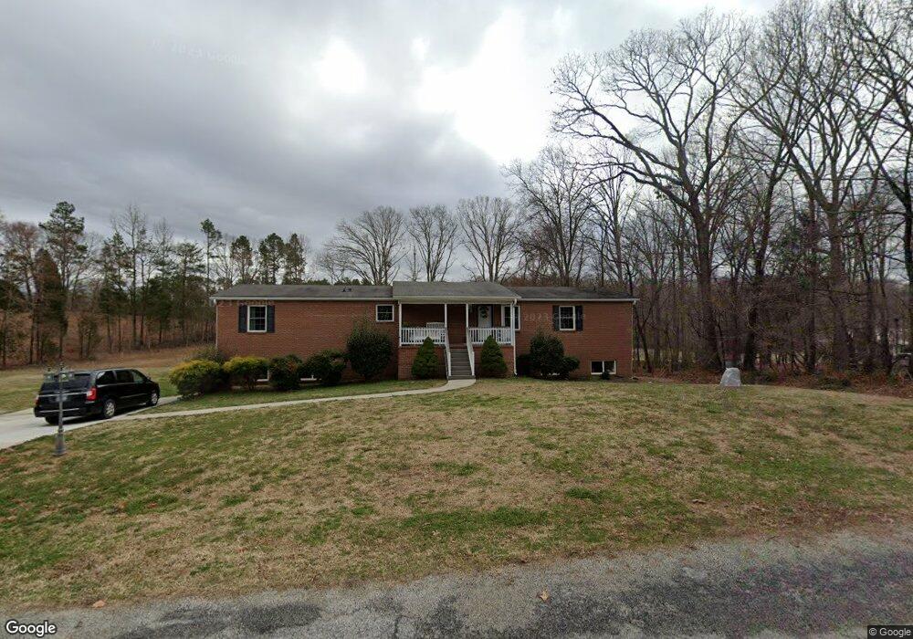
140 Elwood Ln Salisbury, NC 28144
Estimated Value: $206,000 - $482,000
--
Bed
2
Baths
3,888
Sq Ft
$80/Sq Ft
Est. Value
About This Home
This home is located at 140 Elwood Ln, Salisbury, NC 28144 and is currently estimated at $311,333, approximately $80 per square foot. 140 Elwood Ln is a home located in Rowan County with nearby schools including North Rowan Elementary School, North Rowan Middle School, and North Rowan High School.
Ownership History
Date
Name
Owned For
Owner Type
Purchase Details
Closed on
Apr 26, 2007
Sold by
Graff Kevin and Graff Leauntea
Bought by
Graff Kevin and Graff Leauntea
Current Estimated Value
Home Financials for this Owner
Home Financials are based on the most recent Mortgage that was taken out on this home.
Original Mortgage
$178,386
Interest Rate
6.1%
Mortgage Type
New Conventional
Create a Home Valuation Report for This Property
The Home Valuation Report is an in-depth analysis detailing your home's value as well as a comparison with similar homes in the area
Home Values in the Area
Average Home Value in this Area
Purchase History
| Date | Buyer | Sale Price | Title Company |
|---|---|---|---|
| Graff Kevin | -- | None Available |
Source: Public Records
Mortgage History
| Date | Status | Borrower | Loan Amount |
|---|---|---|---|
| Closed | Graff Kevin | $178,386 |
Source: Public Records
Tax History Compared to Growth
Tax History
| Year | Tax Paid | Tax Assessment Tax Assessment Total Assessment is a certain percentage of the fair market value that is determined by local assessors to be the total taxable value of land and additions on the property. | Land | Improvement |
|---|---|---|---|---|
| 2025 | $2,195 | $327,591 | $28,000 | $299,591 |
| 2024 | $2,195 | $327,591 | $28,000 | $299,591 |
| 2023 | $2,195 | $327,591 | $28,000 | $299,591 |
| 2022 | $1,644 | $219,904 | $18,000 | $201,904 |
| 2021 | $1,603 | $219,904 | $18,000 | $201,904 |
| 2020 | $1,603 | $219,904 | $18,000 | $201,904 |
| 2019 | $1,603 | $219,904 | $18,000 | $201,904 |
| 2018 | $1,449 | $200,386 | $18,000 | $182,386 |
| 2017 | $1,449 | $200,386 | $18,000 | $182,386 |
| 2016 | $1,449 | $200,386 | $18,000 | $182,386 |
| 2015 | $1,471 | $200,386 | $18,000 | $182,386 |
| 2014 | $1,390 | $192,988 | $18,000 | $174,988 |
Source: Public Records
Map
Nearby Homes
- 4100 Hampton Rd
- 450 E Ridge Rd
- 3870 Old Mocksville Rd
- 0 Elizabeth Ave Unit 48-49 CAR4299122
- 4355 Franklin Community Center Rd
- 250 Lariat Cir
- 5020 Old Mocksville Rd
- 270 North St
- 0 Long Bow Rd Unit 1200498
- 0 Long Bow Rd Unit CAR4268967
- 240 Eldon Ln
- 1207 + River Trace Ln Unit 9,15-19,21&21
- 175 Country Ln
- Chandler Basement Plan at Oxford Station
- Rockwell Plan at Oxford Station
- Manchester Plan at Oxford Station
- Chandler Plan at Oxford Station
- Cottonwood Plan at Oxford Station
- Gibson Plan at Oxford Station
- Sherwood Plan at Oxford Station