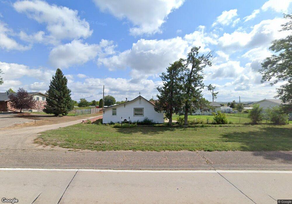
140 Five Rocks Rd Gering, NE 69341
Estimated Value: $106,000 - $151,044
1
Bed
1
Bath
729
Sq Ft
$171/Sq Ft
Est. Value
About This Home
This home is located at 140 Five Rocks Rd, Gering, NE 69341 and is currently estimated at $124,761, approximately $171 per square foot. 140 Five Rocks Rd is a home located in Scotts Bluff County with nearby schools including Gering High School and Community Christian Elementary/Middle School.
Ownership History
Date
Name
Owned For
Owner Type
Purchase Details
Closed on
Jul 29, 2021
Sold by
Swanys Rentals Llc
Bought by
Star Stangled Rentals Llc
Current Estimated Value
Home Financials for this Owner
Home Financials are based on the most recent Mortgage that was taken out on this home.
Original Mortgage
$89,000
Outstanding Balance
$80,403
Interest Rate
2.9%
Mortgage Type
New Conventional
Estimated Equity
$44,358
Purchase Details
Closed on
Jul 2, 2009
Sold by
Schwab Aaron L
Bought by
Swanson Scott and Swanson Carla
Create a Home Valuation Report for This Property
The Home Valuation Report is an in-depth analysis detailing your home's value as well as a comparison with similar homes in the area
Home Values in the Area
Average Home Value in this Area
Purchase History
| Date | Buyer | Sale Price | Title Company |
|---|---|---|---|
| Star Stangled Rentals Llc | $80,000 | None Available | |
| Swanson Scott | $52,000 | -- |
Source: Public Records
Mortgage History
| Date | Status | Borrower | Loan Amount |
|---|---|---|---|
| Open | Star Stangled Rentals Llc | $89,000 |
Source: Public Records
Tax History
| Year | Tax Paid | Tax Assessment Tax Assessment Total Assessment is a certain percentage of the fair market value that is determined by local assessors to be the total taxable value of land and additions on the property. | Land | Improvement |
|---|---|---|---|---|
| 2025 | $1,733 | $103,020 | $40,405 | $62,615 |
| 2024 | $1,805 | $98,745 | $49,935 | $48,810 |
| 2023 | $1,124 | $52,452 | $12,787 | $39,665 |
| 2022 | $1,124 | $52,452 | $12,787 | $39,665 |
| 2021 | $1,080 | $49,857 | $12,787 | $37,070 |
| 2020 | $1,048 | $48,092 | $12,787 | $35,305 |
| 2019 | $1,023 | $48,092 | $12,787 | $35,305 |
| 2018 | $1,029 | $48,092 | $12,787 | $35,305 |
| 2017 | $1,030 | $48,092 | $12,787 | $35,305 |
| 2016 | $957 | $48,092 | $12,787 | $35,305 |
| 2015 | $933 | $47,064 | $12,787 | $34,277 |
| 2014 | $946 | $47,064 | $12,787 | $34,277 |
| 2012 | -- | $46,392 | $12,787 | $33,605 |
Source: Public Records
Map
Nearby Homes
- 100 Five Rocks Rd
- 210 Five Rocks Rd
- 80 Five Rocks Rd
- 85 Poplar St
- 105 Poplar St
- 65 Poplar St
- 1950 Dogwood St Unit 1960
- 45 Poplar St
- 1845 Cedar St
- 105 Five Rocks Rd
- 1835 Cedar St
- 1855 Cedar St
- 25 Poplar St
- 2045 Elm St
- 1865 Cedar St
- 1920 Poplar St
- 1930 Dogwood St Unit 1940
- 1875 Cedar St
- 60 Five Rocks Rd
- 1960 Poplar St
Your Personal Tour Guide
Ask me questions while you tour the home.