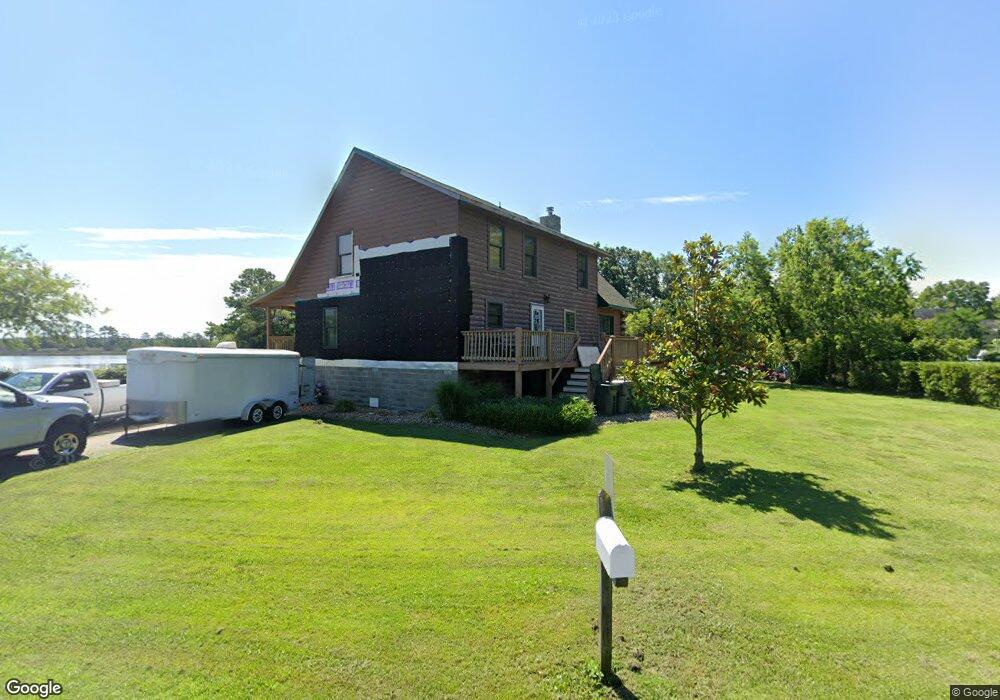
140 Forrest Rd Poquoson, VA 23662
Poquoson West NeighborhoodEstimated Value: $634,000 - $748,153
3
Beds
3
Baths
2,190
Sq Ft
$320/Sq Ft
Est. Value
About This Home
This home is located at 140 Forrest Rd, Poquoson, VA 23662 and is currently estimated at $701,288, approximately $320 per square foot. 140 Forrest Rd is a home located in Poquoson City.
Ownership History
Date
Name
Owned For
Owner Type
Purchase Details
Closed on
Jun 26, 2023
Sold by
Rollins Kay Mischelle
Bought by
Rollins Kay Mischelle and Firth Raymond Wayne
Current Estimated Value
Home Financials for this Owner
Home Financials are based on the most recent Mortgage that was taken out on this home.
Original Mortgage
$434,472
Outstanding Balance
$422,773
Interest Rate
6.13%
Mortgage Type
FHA
Estimated Equity
$278,515
Purchase Details
Closed on
Mar 6, 2012
Sold by
Rollins Thomas M
Bought by
Rollins Kay Mischelle
Purchase Details
Closed on
Jan 22, 2002
Sold by
Hunt William F
Bought by
Rollins Thomas M
Create a Home Valuation Report for This Property
The Home Valuation Report is an in-depth analysis detailing your home's value as well as a comparison with similar homes in the area
Home Values in the Area
Average Home Value in this Area
Purchase History
| Date | Buyer | Sale Price | Title Company |
|---|---|---|---|
| Rollins Kay Mischelle | -- | Chicago Title | |
| Rollins Kay Mischelle | -- | -- | |
| Rollins Thomas M | $100,000 | -- | |
| Rollins Thoams M | $145,000 | -- |
Source: Public Records
Mortgage History
| Date | Status | Borrower | Loan Amount |
|---|---|---|---|
| Open | Rollins Kay Mischelle | $434,472 |
Source: Public Records
Tax History Compared to Growth
Tax History
| Year | Tax Paid | Tax Assessment Tax Assessment Total Assessment is a certain percentage of the fair market value that is determined by local assessors to be the total taxable value of land and additions on the property. | Land | Improvement |
|---|---|---|---|---|
| 2024 | $7,792 | $683,500 | $370,300 | $313,200 |
| 2023 | $7,587 | $683,500 | $370,300 | $313,200 |
| 2022 | $7,015 | $620,800 | $370,300 | $250,500 |
| 2021 | $7,015 | $620,800 | $370,300 | $250,500 |
| 2020 | $0 | $604,500 | $370,300 | $234,200 |
| 2019 | -- | $604,500 | $370,300 | $234,200 |
| 2018 | -- | $584,500 | $370,300 | $214,200 |
| 2017 | -- | $574,100 | $370,300 | $203,800 |
| 2016 | -- | $574,100 | $370,300 | $203,800 |
| 2015 | -- | $574,100 | $370,300 | $203,800 |
| 2013 | -- | $574,100 | $370,300 | $203,800 |
Source: Public Records
Map
Nearby Homes
- 1.55ac Holloway Rd
- 7 Quail Cove
- 3 Carmines Ct
- 7 Carmines Ct
- 6 Lessies Dr
- 105 Rens Rd Unit 30
- 105 Rens Rd Unit 2
- 105 Rens Rd Unit 74
- 105 Rens Rd Unit Lot 48
- 62 Rens Rd
- 45 Cedar Rd
- 21 Rens Rd
- 1020 Poquoson Ave
- 1020 Poquoson Ave Unit C
- 8.5AC Poquoson Ave
- 1 Phillips Rd
- 7 Dove Point Trail
- 10 Kathy Dr
- 15+AC Browns Neck Rd
- 1159 Poquoson Ave