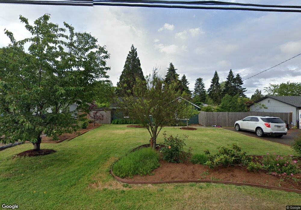
140 Kourt Dr Eugene, OR 97404
River Road NeighborhoodEstimated Value: $361,000 - $394,000
3
Beds
1
Bath
1,424
Sq Ft
$266/Sq Ft
Est. Value
About This Home
This home is located at 140 Kourt Dr, Eugene, OR 97404 and is currently estimated at $379,333, approximately $266 per square foot. 140 Kourt Dr is a home located in Lane County with nearby schools including Howard Elementary School, Kelly Middle School, and North Eugene High School.
Ownership History
Date
Name
Owned For
Owner Type
Purchase Details
Closed on
May 5, 2017
Sold by
Seaman Jeremy
Bought by
Brockman Alexander R and Brockmann Amanda
Current Estimated Value
Home Financials for this Owner
Home Financials are based on the most recent Mortgage that was taken out on this home.
Original Mortgage
$166,250
Outstanding Balance
$138,093
Interest Rate
4.23%
Mortgage Type
New Conventional
Estimated Equity
$241,240
Purchase Details
Closed on
Nov 19, 2004
Sold by
Eastman William I and Eastman Kelly K
Bought by
Seaman Jeremy
Home Financials for this Owner
Home Financials are based on the most recent Mortgage that was taken out on this home.
Original Mortgage
$97,600
Interest Rate
7.75%
Mortgage Type
Purchase Money Mortgage
Create a Home Valuation Report for This Property
The Home Valuation Report is an in-depth analysis detailing your home's value as well as a comparison with similar homes in the area
Home Values in the Area
Average Home Value in this Area
Purchase History
| Date | Buyer | Sale Price | Title Company |
|---|---|---|---|
| Brockman Alexander R | $175,000 | Cascade Title Company | |
| Seaman Jeremy | $122,000 | Cascade Title Co |
Source: Public Records
Mortgage History
| Date | Status | Borrower | Loan Amount |
|---|---|---|---|
| Open | Brockman Alexander R | $166,250 | |
| Previous Owner | Seaman Jeremy | $97,600 | |
| Closed | Seaman Jeremy | $12,200 |
Source: Public Records
Tax History
| Year | Tax Paid | Tax Assessment Tax Assessment Total Assessment is a certain percentage of the fair market value that is determined by local assessors to be the total taxable value of land and additions on the property. | Land | Improvement |
|---|---|---|---|---|
| 2025 | $2,496 | $148,602 | -- | -- |
| 2024 | $2,469 | $144,274 | -- | -- |
| 2023 | $2,469 | $140,072 | $0 | $0 |
| 2022 | $2,322 | $135,993 | $0 | $0 |
| 2021 | $2,160 | $132,033 | $0 | $0 |
| 2020 | $2,175 | $128,188 | $0 | $0 |
| 2019 | $2,099 | $124,455 | $0 | $0 |
| 2018 | $1,957 | $117,312 | $0 | $0 |
| 2017 | $1,885 | $117,312 | $0 | $0 |
| 2016 | $1,834 | $113,895 | $0 | $0 |
| 2015 | $1,757 | $110,578 | $0 | $0 |
| 2014 | $1,754 | $107,357 | $0 | $0 |
Source: Public Records
Map
Nearby Homes
- 1880 Manihi Dr
- 389 Maxwell Rd
- 1685 Evergreen Dr
- 1487 Barton St
- 1483 Barton St
- 1555 Escalante St
- 154 Norman Ave
- 1420 Evergreen Dr
- 172 Norman Ave
- 401 Sterling Dr
- 1360 Andersen Ln
- 2439 Quince St
- 1566 Maywood Ave
- 1682 Hemlock St
- 1314 Dalton Dr
- 1755 Brentwood Ave
- 193 Santa Clara Ave
- 303 Lenore Loop
- 333 Lenore Loop
- 215 Jonquil Ave
Your Personal Tour Guide
Ask me questions while you tour the home.