140 Lands End Ln Clarkesville, GA 30523
Estimated Value: $1,916,000 - $4,137,000
3
Beds
2
Baths
1,852
Sq Ft
$1,387/Sq Ft
Est. Value
About This Home
This home is located at 140 Lands End Ln, Clarkesville, GA 30523 and is currently estimated at $2,568,183, approximately $1,386 per square foot. 140 Lands End Ln is a home located in Rabun County with nearby schools including Rabun County Primary School and Rabun County High School.
Ownership History
Date
Name
Owned For
Owner Type
Purchase Details
Closed on
Nov 16, 2021
Sold by
Bennett Amelia C
Bought by
Bennett Frank O and Amelia Ann Bennett Qualified P
Current Estimated Value
Purchase Details
Closed on
Oct 22, 2021
Sold by
Bennett Frank O
Bought by
Bennett Amelia C
Purchase Details
Closed on
Dec 17, 2012
Sold by
Ramsaur Lynne
Bought by
Bennett Frank O and Bennett Amelia C
Home Financials for this Owner
Home Financials are based on the most recent Mortgage that was taken out on this home.
Original Mortgage
$975,000
Interest Rate
3.38%
Mortgage Type
New Conventional
Purchase Details
Closed on
Feb 1, 1990
Bought by
Ramsaur Diana Lynn Graves
Create a Home Valuation Report for This Property
The Home Valuation Report is an in-depth analysis detailing your home's value as well as a comparison with similar homes in the area
Home Values in the Area
Average Home Value in this Area
Purchase History
| Date | Buyer | Sale Price | Title Company |
|---|---|---|---|
| Bennett Frank O | -- | -- | |
| Bennett Frank O | -- | -- | |
| Bennett Amelia C | -- | -- | |
| Bennett Amelia C | -- | -- | |
| Bennett Frank O | -- | -- | |
| Bennett Frank O | -- | -- | |
| Ramsaur Diana Lynn Graves | -- | -- | |
| Ramsaur Diana Lynn Graves | -- | -- |
Source: Public Records
Mortgage History
| Date | Status | Borrower | Loan Amount |
|---|---|---|---|
| Previous Owner | Bennett Frank O | $975,000 |
Source: Public Records
Tax History Compared to Growth
Tax History
| Year | Tax Paid | Tax Assessment Tax Assessment Total Assessment is a certain percentage of the fair market value that is determined by local assessors to be the total taxable value of land and additions on the property. | Land | Improvement |
|---|---|---|---|---|
| 2025 | $7,633 | $475,604 | $0 | $475,604 |
| 2024 | $7,264 | $452,596 | $0 | $452,596 |
| 2023 | $7,128 | $389,417 | $0 | $389,417 |
| 2022 | $6,838 | $373,583 | $0 | $373,583 |
| 2021 | $6,322 | $337,175 | $0 | $337,175 |
| 2020 | $6,430 | $331,516 | $0 | $331,516 |
| 2019 | $6,476 | $331,516 | $0 | $331,516 |
| 2018 | $6,499 | $331,516 | $0 | $331,516 |
| 2017 | $6,233 | $331,516 | $0 | $331,516 |
| 2016 | $6,250 | $331,516 | $0 | $331,516 |
| 2015 | $5,989 | $310,987 | $0 | $310,987 |
| 2014 | $6,541 | $337,882 | $0 | $337,882 |
Source: Public Records
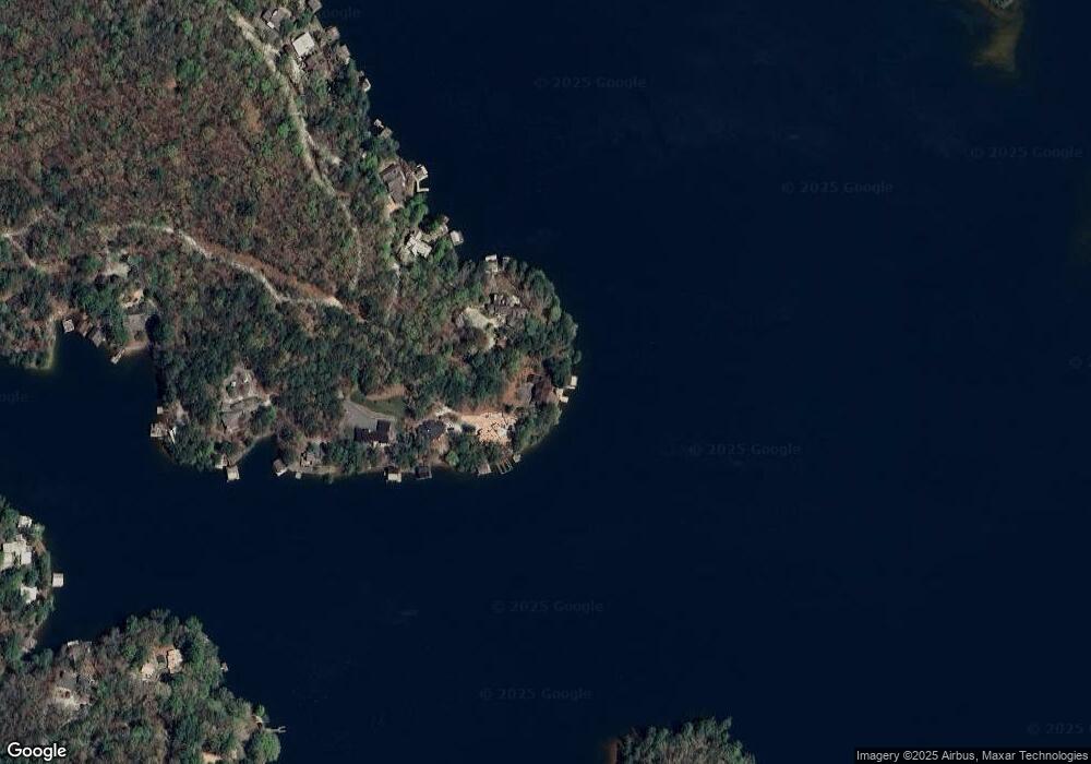
Map
Nearby Homes
- 326 Fulton Rd
- 188 Fulton Rd
- 374 Wild Turkey Run
- 5622 Murray Cove Rd
- 38 Sourwood Trail
- 4960 Laurel Lodge Rd Unit 1
- 4960 Laurel Lodge Rd Unit 46
- 4960 Laurel Lodge Rd Unit LOT 29
- 4960 Laurel Lodge Rd Unit LOT 3
- 4960 Laurel Lodge Rd Unit LOT 21
- 4960 Laurel Lodge Rd Unit LOT 18
- 4960 Laurel Lodge Rd Unit LOT 2
- 4960 Laurel Lodge #41 Rd
- 1572 Parker Holifield Rd
- 9406 Bridge Creek Rd
- 0 Baker Ln Unit LOT 10
- 220 Brookwood Ln
- 557 Walnut Grove Ln
- 341 Brookwood Ln
- 426 Crow Creek Rd
- 108 Lands End Ln
- 61 Lands End Ln Unit L
- 96 Lands End Ln Unit GP LOT 925
- 96 Lands End Ln
- 565 Wildflower Cir
- 15 Lands End Ln
- 17 Lands End Ln
- 17 Lands End Ln Unit 176
- 567 Wildflower Cir
- 445 Wildflower Cir
- 437 Wildflower Cir
- 118 Wisteria Ln
- 435 Wildflower Cir
- 40 Wisteria Ln Unit L
- 4 Wisteria Ln
- 375 Wildflower Cir
- 373 Wildflower Cir
- 139 Quitman Ln Unit L
- 757 Wildflower Cir
- 805 Wildflower Cir