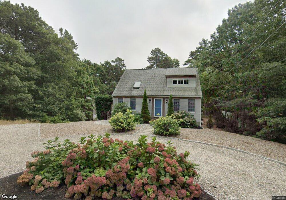
140 Linda Ln Eastham, MA 02642
Estimated Value: $675,402 - $814,000
3
Beds
1
Bath
800
Sq Ft
$912/Sq Ft
Est. Value
About This Home
This home is located at 140 Linda Ln, Eastham, MA 02642 and is currently estimated at $729,851, approximately $912 per square foot. 140 Linda Ln is a home located in Barnstable County with nearby schools including Eastham Elementary School, Nauset Regional Middle School, and Nauset Regional High School.
Ownership History
Date
Name
Owned For
Owner Type
Purchase Details
Closed on
Apr 8, 2004
Sold by
Bazer Gail T and Bazer Richard E
Bought by
Lombard Richard F and Lombard Sherrilynn C
Current Estimated Value
Home Financials for this Owner
Home Financials are based on the most recent Mortgage that was taken out on this home.
Original Mortgage
$306,000
Interest Rate
5.6%
Mortgage Type
Purchase Money Mortgage
Purchase Details
Closed on
May 28, 1999
Sold by
Obrien Eleanor M and Baver Gail T
Bought by
Bazer Richard E and Bazer Gail T
Home Financials for this Owner
Home Financials are based on the most recent Mortgage that was taken out on this home.
Original Mortgage
$104,480
Interest Rate
6.82%
Mortgage Type
Purchase Money Mortgage
Create a Home Valuation Report for This Property
The Home Valuation Report is an in-depth analysis detailing your home's value as well as a comparison with similar homes in the area
Home Values in the Area
Average Home Value in this Area
Purchase History
| Date | Buyer | Sale Price | Title Company |
|---|---|---|---|
| Lombard Richard F | $382,500 | -- | |
| Bazer Richard E | $48,000 | -- |
Source: Public Records
Mortgage History
| Date | Status | Borrower | Loan Amount |
|---|---|---|---|
| Open | Bazer Richard E | $303,750 | |
| Closed | Lombard Richard F | $306,000 | |
| Closed | Lombard Richard F | $37,800 | |
| Previous Owner | Bazer Richard E | $104,480 |
Source: Public Records
Tax History Compared to Growth
Tax History
| Year | Tax Paid | Tax Assessment Tax Assessment Total Assessment is a certain percentage of the fair market value that is determined by local assessors to be the total taxable value of land and additions on the property. | Land | Improvement |
|---|---|---|---|---|
| 2025 | $4,485 | $581,700 | $240,700 | $341,000 |
| 2024 | $3,960 | $564,900 | $233,700 | $331,200 |
| 2023 | $3,627 | $501,000 | $216,400 | $284,600 |
| 2022 | $3,415 | $398,000 | $193,200 | $204,800 |
| 2021 | $3,345 | $364,400 | $175,600 | $188,800 |
| 2020 | $3,108 | $356,400 | $179,200 | $177,200 |
| 2019 | $2,873 | $348,200 | $174,000 | $174,200 |
| 2018 | $2,583 | $309,400 | $150,200 | $159,200 |
| 2017 | $2,314 | $292,900 | $147,200 | $145,700 |
| 2016 | $2,230 | $299,700 | $156,400 | $143,300 |
| 2015 | $2,090 | $294,300 | $153,400 | $140,900 |
Source: Public Records
Map
Nearby Homes
- 120 Linda Ln
- 115 Linda Ln
- 135 Linda Ln
- 80 Linda Ln
- 75 Linda Ln
- 5550 State Hwy
- 50 Linda Ln
- 80 Gigi Ln
- 45 Linda Ln
- 115 Gigi Ln
- 105 Gigi Ln
- 5490 State Hwy
- 30 Linda Ln
- 95 Gigi Ln
- 15 Linda Ln
- 4 Oakwood Crossing
- 4 Oakwood Crossing Unit B
- 4 Oakwood Crossing Unit 2B
- 4 Oakwood Crossing Unit A
- 155 Old County Rd