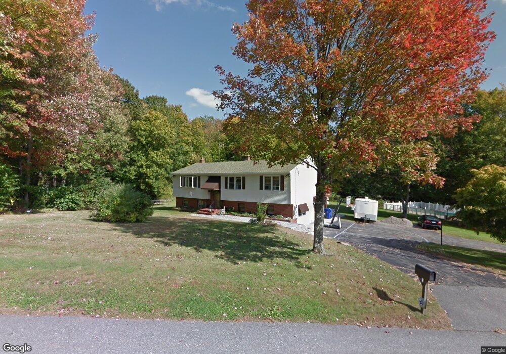
140 Linton St Torrington, CT 06790
Estimated Value: $335,000 - $361,000
3
Beds
2
Baths
1,294
Sq Ft
$269/Sq Ft
Est. Value
About This Home
This home is located at 140 Linton St, Torrington, CT 06790 and is currently estimated at $348,153, approximately $269 per square foot. 140 Linton St is a home located in Litchfield County with nearby schools including Torrington Middle School, Torrington High School, and Brooker Memorial CC & Learning Center.
Ownership History
Date
Name
Owned For
Owner Type
Purchase Details
Closed on
Aug 1, 2016
Sold by
Prevalla Baskim
Bought by
Prevalla Linda M
Current Estimated Value
Purchase Details
Closed on
Sep 19, 1991
Sold by
First Fsla/Torrington
Bought by
Prevalla Linda
Create a Home Valuation Report for This Property
The Home Valuation Report is an in-depth analysis detailing your home's value as well as a comparison with similar homes in the area
Home Values in the Area
Average Home Value in this Area
Purchase History
| Date | Buyer | Sale Price | Title Company |
|---|---|---|---|
| Prevalla Linda M | -- | -- | |
| Prevalla Linda | $140,000 | -- |
Source: Public Records
Mortgage History
| Date | Status | Borrower | Loan Amount |
|---|---|---|---|
| Previous Owner | Prevalla Linda | $100,000 | |
| Previous Owner | Prevalla Linda | $135,000 | |
| Previous Owner | Prevalla Linda | $75,000 |
Source: Public Records
Tax History Compared to Growth
Tax History
| Year | Tax Paid | Tax Assessment Tax Assessment Total Assessment is a certain percentage of the fair market value that is determined by local assessors to be the total taxable value of land and additions on the property. | Land | Improvement |
|---|---|---|---|---|
| 2025 | $8,239 | $214,270 | $23,170 | $191,100 |
| 2024 | $6,022 | $125,540 | $23,160 | $102,380 |
| 2023 | $6,021 | $125,540 | $23,160 | $102,380 |
| 2022 | $5,918 | $125,540 | $23,160 | $102,380 |
| 2021 | $5,796 | $125,540 | $23,160 | $102,380 |
| 2020 | $5,796 | $125,540 | $23,160 | $102,380 |
| 2019 | $5,497 | $119,050 | $23,150 | $95,900 |
| 2018 | $5,497 | $119,050 | $23,150 | $95,900 |
| 2017 | $5,447 | $119,050 | $23,150 | $95,900 |
| 2016 | $5,447 | $119,050 | $23,150 | $95,900 |
| 2015 | $5,447 | $119,050 | $23,150 | $95,900 |
| 2014 | $6,717 | $184,950 | $55,910 | $129,040 |
Source: Public Records
Map
Nearby Homes
- 206 Martha St
- 0 Peck Rd
- 68 Hart Dr
- 405 Hunter Dr Unit 405
- 361 Heights Dr
- 136 Wyoming Ave
- 237 Wyoming Ave
- 971 New Litchfield St
- 271 Heights Dr
- 154 Hunter Dr Unit 154
- 5 Zappulla Dr
- 130 Oakbrook Ln
- 39 Baron Ln
- 244 Hawthorne Terrace
- 0 Sally Burr Rd
- 168 Blake St
- 75 Maple St
- 152 Funston Ave
- 0 Highland Ave Unit 24088105
- 68 Westledge Terrace
- 147 Linton St
- 158 Linton St
- 114 Linton St
- 113 Linton St
- 174 Linton St
- 163 Linton St
- 105 Linton St
- 245 Martha St
- 165 Linton St
- 93 Linton St
- 2 Silver Brook Ln
- 76 Linton St
- 207 Martha St
- 180 Notting Hill Gate
- 3 Silver Brook Ln
- 168 Notting Hill Gate
- 210 Linton St
- 4 Silver Brook Ln
- 215 Linton St
- 150 Notting Hill Gate