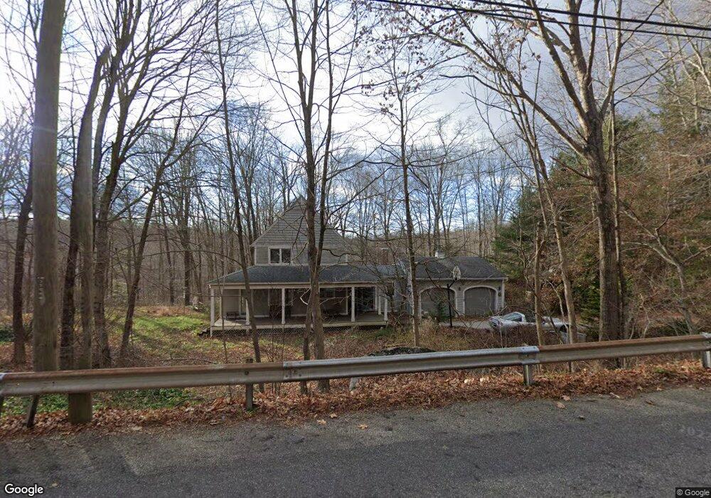
140 Long Hill Rd Andover, CT 06232
Estimated Value: $395,678 - $439,000
3
Beds
2
Baths
1,824
Sq Ft
$233/Sq Ft
Est. Value
About This Home
This home is located at 140 Long Hill Rd, Andover, CT 06232 and is currently estimated at $424,170, approximately $232 per square foot. 140 Long Hill Rd is a home located in Tolland County with nearby schools including Andover Elementary School, RHAM Middle School, and RHAM High School.
Ownership History
Date
Name
Owned For
Owner Type
Purchase Details
Closed on
Sep 11, 2014
Sold by
Powers Milda H
Bought by
Powers Mark A
Current Estimated Value
Home Financials for this Owner
Home Financials are based on the most recent Mortgage that was taken out on this home.
Original Mortgage
$130,000
Interest Rate
3.23%
Mortgage Type
New Conventional
Purchase Details
Closed on
Nov 17, 1986
Bought by
Powers Mark A
Create a Home Valuation Report for This Property
The Home Valuation Report is an in-depth analysis detailing your home's value as well as a comparison with similar homes in the area
Home Values in the Area
Average Home Value in this Area
Purchase History
| Date | Buyer | Sale Price | Title Company |
|---|---|---|---|
| Powers Mark A | -- | -- | |
| Powers Mark A | -- | -- | |
| Powers Mark A | -- | -- |
Source: Public Records
Mortgage History
| Date | Status | Borrower | Loan Amount |
|---|---|---|---|
| Open | Powers Mark A | $328,500 | |
| Closed | Powers Mark A | $130,000 | |
| Previous Owner | Powers Mark A | $59,000 |
Source: Public Records
Tax History
| Year | Tax Paid | Tax Assessment Tax Assessment Total Assessment is a certain percentage of the fair market value that is determined by local assessors to be the total taxable value of land and additions on the property. | Land | Improvement |
|---|---|---|---|---|
| 2025 | $5,727 | $181,300 | $32,410 | $148,890 |
| 2024 | $5,704 | $181,300 | $32,410 | $148,890 |
| 2023 | $5,673 | $181,300 | $32,410 | $148,890 |
| 2022 | $5,785 | $181,300 | $32,410 | $148,890 |
| 2021 | $5,864 | $162,900 | $46,400 | $116,500 |
| 2020 | $5,879 | $165,100 | $46,400 | $118,700 |
| 2019 | $5,777 | $165,100 | $46,400 | $118,700 |
| 2018 | $5,605 | $165,100 | $46,400 | $118,700 |
| 2017 | $5,366 | $165,100 | $46,400 | $118,700 |
| 2016 | $5,520 | $179,700 | $46,500 | $133,200 |
| 2015 | $5,520 | $179,700 | $46,500 | $133,200 |
| 2014 | $5,520 | $179,700 | $46,500 | $133,200 |
Source: Public Records
Map
Nearby Homes
- 0 Wheeling Rd Unit 24116879
- 0 Skinner Hill Rd Unit 24077239
- 8 Times Farm Rd
- 0 Rr 6 Route Unit 24048071
- 0 Hinkel Mae Dr
- 17 Ireland Dr
- 27 Fox Trail
- 273 Hebron Rd
- 34 Hanover Farms Rd
- 126 Hebron Rd
- 9 Tumblebrook Rd
- 869 East St
- 2478 Main St
- 0 Daly Rd Unit 24146464
- 24 Brian Dr
- 0 Boston Turnpike Unit 24128587
- 152 Cheney Ln
- 25 Wolf Hill Rd
- 198 Forest Rd
- 687 Hop River Rd
- 134 Long Hill Rd
- 125 Long Hill Rd
- 146 Long Hill Rd
- 150 Long Hill Rd
- 123 Long Hill Rd
- 128 Long Hill Rd
- 2 Shadblow Ln
- 154 Long Hill Rd
- 4 Shadblow Ln
- 120 Long Hill Rd
- 121 Long Hill Rd
- 0 Dogwood Dr
- 172 Long Hill Rd
- 117 Long Hill Rd
- 23 Chester Brooks Ln
- 23 Chesterbrook Ln
- 21 Chesterbrook Ln
- 113 Long Hill Rd
- 112 Long Hill Rd
- 8 Shadblow Ln
Your Personal Tour Guide
Ask me questions while you tour the home.