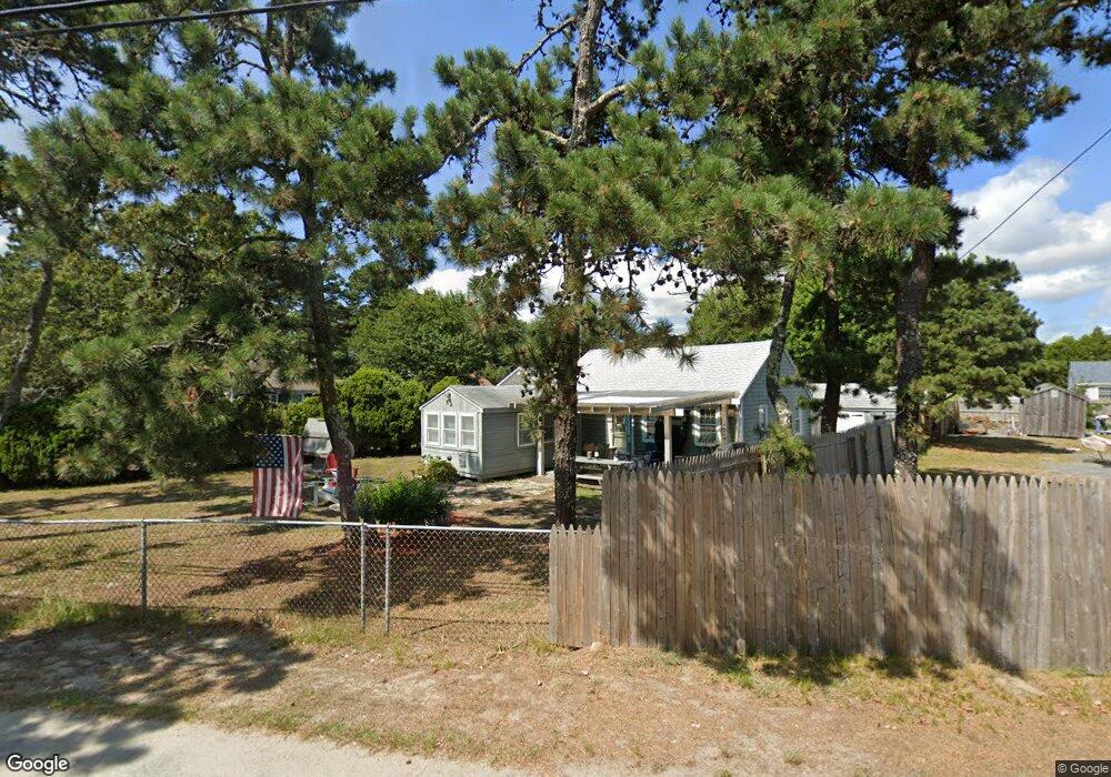
140 Lower County Rd Unit 1 Dennis Port, MA 2639
Dennis Port NeighborhoodEstimated Value: $568,000 - $710,493
3
Beds
2
Baths
1,671
Sq Ft
$376/Sq Ft
Est. Value
About This Home
This home is located at 140 Lower County Rd Unit 1, Dennis Port, MA 2639 and is currently estimated at $629,123, approximately $376 per square foot. 140 Lower County Rd Unit 1 is a home located in Barnstable County with nearby schools including Dennis-Yarmouth Regional High School and St. Pius X. School.
Ownership History
Date
Name
Owned For
Owner Type
Purchase Details
Closed on
Dec 15, 2008
Sold by
R A Conrad Rt and Conrad
Bought by
Mclaughlin Diana C and Mclaughlin John A
Current Estimated Value
Home Financials for this Owner
Home Financials are based on the most recent Mortgage that was taken out on this home.
Original Mortgage
$212,000
Outstanding Balance
$141,381
Interest Rate
6.49%
Mortgage Type
Purchase Money Mortgage
Estimated Equity
$487,742
Purchase Details
Closed on
May 11, 2007
Sold by
Beachside Lodge T and Howland
Bought by
Ra Conrad Rt and Conrad
Create a Home Valuation Report for This Property
The Home Valuation Report is an in-depth analysis detailing your home's value as well as a comparison with similar homes in the area
Home Values in the Area
Average Home Value in this Area
Purchase History
| Date | Buyer | Sale Price | Title Company |
|---|---|---|---|
| Mclaughlin Diana C | $265,000 | -- | |
| Mclaughlin Diana C | $265,000 | -- | |
| Ra Conrad Rt | -- | -- | |
| Ra Conrad Rt | -- | -- |
Source: Public Records
Mortgage History
| Date | Status | Borrower | Loan Amount |
|---|---|---|---|
| Open | Mclaughlin Diana C | $212,000 | |
| Closed | Ra Conrad Rt | $212,000 |
Source: Public Records
Tax History Compared to Growth
Tax History
| Year | Tax Paid | Tax Assessment Tax Assessment Total Assessment is a certain percentage of the fair market value that is determined by local assessors to be the total taxable value of land and additions on the property. | Land | Improvement |
|---|---|---|---|---|
| 2025 | $2,750 | $635,000 | $0 | $635,000 |
| 2024 | $2,606 | $593,600 | $0 | $593,600 |
| 2023 | $2,272 | $486,600 | $0 | $486,600 |
| 2022 | $2,197 | $392,400 | $0 | $392,400 |
| 2021 | $2,132 | $353,600 | $0 | $353,600 |
| 2020 | $2,087 | $342,200 | $0 | $342,200 |
| 2019 | $1,861 | $301,600 | $0 | $301,600 |
| 2018 | $1,804 | $284,500 | $0 | $284,500 |
| 2017 | $1,750 | $284,500 | $0 | $284,500 |
| 2016 | $1,676 | $256,700 | $0 | $256,700 |
Source: Public Records
Map
Nearby Homes
- 31 Easy St
- 80 Michaels Ave
- 37 Ocean Dr Unit 2
- 64 Beaten Rd
- 154 Old Wharf Rd Unit 26
- 154 Old Wharf Rd Unit 14
- 112 Old Wharf Rd Unit E4
- 112 Old Wharf Rd Unit E1
- 120 Old Wharf Rd Unit 11
- 22 Wixon Rd
- 217 Old Wharf Rd Unit 64
- 19 Standish Way
- 262 Old Wharf Rd Unit 67
- 262 Old Wharf Rd Unit 5
- 262 Old Wharf Rd Unit 5
- 262 Old Wharf Rd Unit 20
- 262 Old Wharf Rd Unit 87
- 37 Beach Hills Rd
- 241 Old Wharf Rd Unit 82
- 241 Old Wharf Rd Unit 127
- 140 Lower County Rd Unit 2
- 140 Lower County Rd
- 140 Lower County Rd Unit 3
- 138 Lower County Rd
- 138 Lower County Rd
- 132 Lower County Rd
- 132 Lower County Rd
- 131 Cynthia Ln
- 134 Lower County Rd
- 126 Lower County Rd Unit 18
- 126 Lower County Rd Unit U-19
- 126 Lower County Rd Unit 5
- 126 Lower County Rd Unit 20
- 126 Lower County Rd Unit 10
- 126 Lower County Rd Unit 1-2
- 126 Lower County Rd Unit 1
- 126 Lower County Rd Unit 2
- 126 Lower County Rd Unit 6
- 126 Lower County Rd Unit 4
- 126 Lower County Rd Unit 2-16