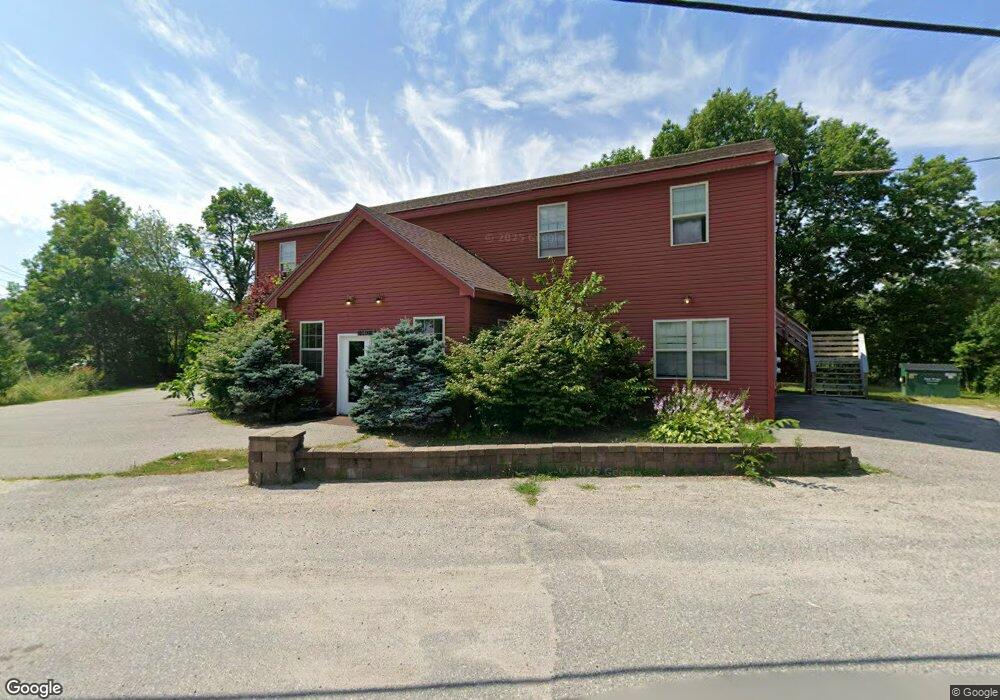
140 Main St Cherryfield, ME 04622
Estimated Value: $378,000 - $569,000
1
Bed
4
Baths
4,800
Sq Ft
$93/Sq Ft
Est. Value
About This Home
This home is located at 140 Main St, Cherryfield, ME 04622 and is currently estimated at $445,755, approximately $92 per square foot. 140 Main St is a home.
Ownership History
Date
Name
Owned For
Owner Type
Purchase Details
Closed on
Sep 13, 2024
Sold by
Meyer Adam
Bought by
Look Kimberly B and Look Dale E
Current Estimated Value
Home Financials for this Owner
Home Financials are based on the most recent Mortgage that was taken out on this home.
Original Mortgage
$375,000
Outstanding Balance
$370,785
Interest Rate
6.47%
Mortgage Type
Purchase Money Mortgage
Estimated Equity
$74,970
Purchase Details
Closed on
Jul 28, 2008
Sold by
Delta Dev Corp
Bought by
Meyer Adam
Create a Home Valuation Report for This Property
The Home Valuation Report is an in-depth analysis detailing your home's value as well as a comparison with similar homes in the area
Purchase History
| Date | Buyer | Sale Price | Title Company |
|---|---|---|---|
| Look Kimberly B | $375,000 | None Available | |
| Look Kimberly B | $375,000 | None Available | |
| Meyer Adam | -- | -- | |
| Meyer Adam | -- | -- |
Source: Public Records
Mortgage History
| Date | Status | Borrower | Loan Amount |
|---|---|---|---|
| Open | Look Kimberly B | $375,000 | |
| Closed | Look Kimberly B | $375,000 |
Source: Public Records
Tax History
| Year | Tax Paid | Tax Assessment Tax Assessment Total Assessment is a certain percentage of the fair market value that is determined by local assessors to be the total taxable value of land and additions on the property. | Land | Improvement |
|---|---|---|---|---|
| 2024 | $8,118 | $388,400 | $25,500 | $362,900 |
| 2023 | $7,846 | $388,400 | $25,500 | $362,900 |
| 2022 | $7,457 | $388,400 | $25,500 | $362,900 |
| 2021 | $8,156 | $388,400 | $25,500 | $362,900 |
| 2020 | $7,318 | $310,100 | $21,400 | $288,700 |
| 2019 | $6,605 | $310,100 | $21,400 | $288,700 |
| 2018 | $6,047 | $310,100 | $21,400 | $288,700 |
| 2017 | $6,047 | $310,100 | $21,400 | $288,700 |
| 2016 | $6,047 | $310,100 | $21,400 | $288,700 |
| 2015 | $6,072 | $310,100 | $21,400 | $288,700 |
| 2014 | $6,047 | $310,100 | $21,400 | $288,700 |
| 2013 | $5,985 | $310,100 | $21,400 | $288,700 |
Source: Public Records
Map
Nearby Homes
- 30 River Rd
- 18 Blacks Woods Rd
- 19 High St
- 163 Blacks Woods Rd
- 9 Big Rock Ln
- 249 Blacks Woods Rd
- 266 Willey District Rd
- 272 Willey District Rd
- 472 Kansas Rd
- 462 Kansas Rd
- 24 Lynch Hill Rd
- Lot #118 Kansas Rd
- 94 Heath Rd
- 1491 Main St
- 307 Oak Point Rd
- 22 Bridge St
- 50 Ficketts Point Rd
- 7 Sharon Ln
- 8 Cottage St
- M2, L4 Sacarap Rd
- 00 Willey District Rd
- Lot 18-1 Stillwater Rd
- 133 Main St
- 145 Main St
- 145 N Main St
- 136 Main St
- 0 Flatlander Unit 870803
- 0 Flatlander Unit 1322136
- 130 Main St
- Lot 10-12 Willey District Rd
- 195 E Spring River Rd
- 159 Main St
- 122 Main St
- 130 River Rd
- 117 Main St
- 26 Willey District Rd
- 170 Main St
- 30 North St
- 114 Main St
- 113 Main St
Your Personal Tour Guide
Ask me questions while you tour the home.