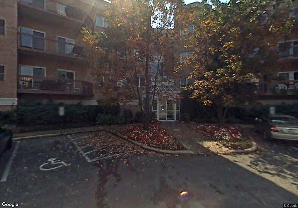
140 Manchester Dr Unit 4309 Buffalo Grove, IL 60089
Estimated Value: $258,000 - $291,158
--
Bed
2
Baths
1,631
Sq Ft
$170/Sq Ft
Est. Value
About This Home
This home is located at 140 Manchester Dr Unit 4309, Buffalo Grove, IL 60089 and is currently estimated at $276,790, approximately $169 per square foot. 140 Manchester Dr Unit 4309 is a home located in Lake County with nearby schools including Ivy Hall Elementary School, Twin Groves Middle School, and Adlai E Stevenson High School.
Ownership History
Date
Name
Owned For
Owner Type
Purchase Details
Closed on
Nov 8, 2022
Sold by
Dolores L Levitt Trust
Bought by
Chiuppi Henry C and Chiuppi Paulette
Current Estimated Value
Purchase Details
Closed on
Jan 28, 1999
Sold by
Levin Dolores L
Bought by
Levin Dolores L and Dolores L Levin Trust
Purchase Details
Closed on
Sep 19, 1996
Sold by
American National Bk & Tr Co Of Chicago
Bought by
Levin Dolores L
Create a Home Valuation Report for This Property
The Home Valuation Report is an in-depth analysis detailing your home's value as well as a comparison with similar homes in the area
Home Values in the Area
Average Home Value in this Area
Purchase History
| Date | Buyer | Sale Price | Title Company |
|---|---|---|---|
| Chiuppi Henry C | $257,500 | -- | |
| Levin Dolores L | -- | -- | |
| Levin Dolores L | $197,000 | Chicago Title Insurance Co |
Source: Public Records
Tax History Compared to Growth
Tax History
| Year | Tax Paid | Tax Assessment Tax Assessment Total Assessment is a certain percentage of the fair market value that is determined by local assessors to be the total taxable value of land and additions on the property. | Land | Improvement |
|---|---|---|---|---|
| 2024 | $4,949 | $70,212 | $33,621 | $36,591 |
| 2023 | $3,991 | $66,250 | $31,724 | $34,526 |
| 2022 | $3,991 | $59,993 | $28,728 | $31,265 |
| 2021 | $3,779 | $68,408 | $28,418 | $39,990 |
| 2020 | $3,779 | $68,641 | $28,515 | $40,126 |
| 2019 | $3,690 | $68,388 | $28,410 | $39,978 |
| 2018 | $3,670 | $59,435 | $30,880 | $28,555 |
| 2017 | $3,646 | $58,047 | $30,159 | $27,888 |
| 2016 | $3,717 | $55,585 | $28,880 | $26,705 |
| 2015 | $3,883 | $51,982 | $27,008 | $24,974 |
| 2014 | $3,941 | $49,278 | $29,008 | $20,270 |
| 2012 | $4,524 | $55,207 | $29,066 | $26,141 |
Source: Public Records
Map
Nearby Homes
- 232 Manor Dr Unit 12C
- 412 Chateau Dr
- 25 Crestview Terrace
- 728 Old Checker Rd Unit C4
- 746 Old Checker Rd Unit E5
- 36 Crestview Terrace
- 610 Maple Dr
- 630 Woodhollow Ln
- 690 Dunhill Dr
- 496 Raupp Blvd
- 1112 Auburn Ln
- 220 Osage Ln
- 620 Twisted Oak Ln
- 760 Checker Dr
- 810 Silver Rock Ln
- 20665 N Weiland Rd
- 10 Old Oak Dr Unit 103
- 938 Hidden Lake Dr
- 612 White Pine Rd
- 588 Fairway View Dr Unit 2E
- 140 Manchester Dr Unit 310
- 140 Manchester Dr Unit 405
- 140 Manchester Dr Unit 301
- 140 Manchester Dr Unit 4414
- 140 Manchester Dr Unit 4412
- 140 Manchester Dr Unit 4411
- 140 Manchester Dr Unit 4410
- 140 Manchester Dr Unit 4409
- 140 Manchester Dr Unit 4408
- 140 Manchester Dr Unit 4407
- 140 Manchester Dr Unit 4406
- 140 Manchester Dr Unit 4405
- 140 Manchester Dr Unit 4404
- 140 Manchester Dr Unit 4403
- 140 Manchester Dr Unit 4402
- 140 Manchester Dr Unit 4401
- 140 Manchester Dr Unit 4314
- 140 Manchester Dr Unit 4312
- 140 Manchester Dr Unit 4311
- 140 Manchester Dr Unit 4310