140 Mocks Ln Hortense, GA 31543
Estimated Value: $69,471 - $225,000
3
Beds
2
Baths
1,248
Sq Ft
$95/Sq Ft
Est. Value
About This Home
This home is located at 140 Mocks Ln, Hortense, GA 31543 and is currently estimated at $118,868, approximately $95 per square foot. 140 Mocks Ln is a home with nearby schools including Waynesville Primary School, Atkinson Elementary School, and Brantley County Middle School.
Ownership History
Date
Name
Owned For
Owner Type
Purchase Details
Closed on
Jul 16, 2022
Sold by
Justice Mary E Mudd
Bought by
Green Durand E
Current Estimated Value
Purchase Details
Closed on
Aug 1, 2019
Sold by
Johns Land Co Inc
Bought by
Justice Ricky Forrest and Justice Viola Elizabeth
Purchase Details
Closed on
Jul 3, 2018
Sold by
Brantley County Tax Comm
Bought by
Johns Land Co Inc
Purchase Details
Closed on
Mar 10, 2006
Sold by
Adcock Annie Pearl
Bought by
Mock Joseph Franklin
Purchase Details
Closed on
Feb 28, 2006
Sold by
Maddox Mary Wages
Bought by
Mock Joseph Franklin
Purchase Details
Closed on
Feb 21, 2006
Sold by
Blount Terry
Bought by
Mock Joseph Franklin
Create a Home Valuation Report for This Property
The Home Valuation Report is an in-depth analysis detailing your home's value as well as a comparison with similar homes in the area
Home Values in the Area
Average Home Value in this Area
Purchase History
| Date | Buyer | Sale Price | Title Company |
|---|---|---|---|
| Green Durand E | -- | -- | |
| Justice Ricky Forrest | -- | -- | |
| Johns Land Co Inc | -- | -- | |
| Mock Joseph Franklin | -- | -- | |
| Mock Joseph Franklin | -- | -- | |
| Mock Joseph Franklin | -- | -- |
Source: Public Records
Tax History Compared to Growth
Tax History
| Year | Tax Paid | Tax Assessment Tax Assessment Total Assessment is a certain percentage of the fair market value that is determined by local assessors to be the total taxable value of land and additions on the property. | Land | Improvement |
|---|---|---|---|---|
| 2024 | $500 | $15,544 | $8,050 | $7,494 |
| 2023 | $431 | $13,244 | $5,750 | $7,494 |
| 2022 | $384 | $11,644 | $5,750 | $5,894 |
| 2021 | $393 | $11,644 | $5,750 | $5,894 |
| 2020 | $405 | $11,644 | $5,750 | $5,894 |
| 2019 | $405 | $11,644 | $5,750 | $5,894 |
| 2018 | $590 | $17,435 | $5,368 | $12,067 |
| 2017 | $590 | $17,435 | $5,368 | $12,067 |
| 2016 | $816 | $17,515 | $5,368 | $12,147 |
| 2015 | -- | $17,514 | $0 | $0 |
Source: Public Records
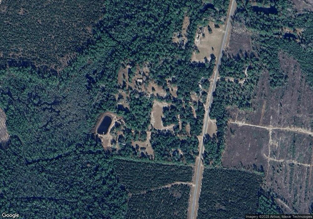
Map
Nearby Homes
- 235 Gibson Cir
- 647 Gibson Cir
- 7535 Browntown Rd
- 277 Carl Burney Rd
- 2101 Albert Gibson Rd
- 3069 Mineral Springs Rd
- 288 Rattler Run
- 0 Rattler Run
- 43 Dutch Rd
- Off Dogwood Rd
- 544 Mineral Springs Rd
- 0 Joseph Wiggins Mineral Springs Rd Rd Unit 1615893
- 0 Dogwood Rd
- 123 Daniel St
- 11211 Georgia 110
- 0 Heritage Cir Unit 1655955
- 0 Heritage Cir Unit 1656067
- 0 Heritage Cir Unit 1655952
- 0 Heritage Cir Unit 1656069
- 0 Heritage Cir Unit 1656065
- 9411 Browntown Rd
- 9329 Browntown Rd
- 9207 Browntown Rd
- 11094 Browntown Rd
- 9650 Browntown Rd
- 9725 Browntown Rd
- 52 Albert Gibson Rd
- 9889 Browntown Rd
- 00 Browntown Rd
- 780 Sams Trail
- 10185 Browntown Rd
- 10200 Browntown Rd
- 8419 Browntown Rd
- 10211 Browntown Rd
- 80 Nevada Ln
- 771 Sams Trail
- 10269 Browntown Rd
- 9541 Browntown Rd
- 310 Harmony Rd
- 151 Sams Trail