140 N Davis Rd Unit Lot 36 Lagrange, GA 30241
Estimated Value: $45,740,780
--
Bed
3
Baths
2,152
Sq Ft
$21,255/Sq Ft
Est. Value
About This Home
This home is located at 140 N Davis Rd Unit Lot 36, Lagrange, GA 30241 and is currently estimated at $45,740,780, approximately $21,255 per square foot. 140 N Davis Rd Unit Lot 36 is a home located in Troup County with nearby schools including Franklin Forest Elementary School, Hollis Hand Elementary School, and Ethel W. Kight Elementary School.
Ownership History
Date
Name
Owned For
Owner Type
Purchase Details
Closed on
Nov 18, 2015
Sold by
Woodland Trail Associates
Bought by
Woodlands 236 Llc
Current Estimated Value
Create a Home Valuation Report for This Property
The Home Valuation Report is an in-depth analysis detailing your home's value as well as a comparison with similar homes in the area
Home Values in the Area
Average Home Value in this Area
Purchase History
| Date | Buyer | Sale Price | Title Company |
|---|---|---|---|
| Woodlands 236 Llc | $22,800,000 | -- |
Source: Public Records
Tax History Compared to Growth
Tax History
| Year | Tax Paid | Tax Assessment Tax Assessment Total Assessment is a certain percentage of the fair market value that is determined by local assessors to be the total taxable value of land and additions on the property. | Land | Improvement |
|---|---|---|---|---|
| 2024 | $338,761 | $12,421,120 | $651,000 | $11,770,120 |
| 2023 | $338,761 | $12,421,120 | $651,000 | $11,770,120 |
| 2022 | $248,151 | $8,891,120 | $651,000 | $8,240,120 |
| 2021 | $268,156 | $8,891,120 | $651,000 | $8,240,120 |
| 2020 | $236,867 | $9,239,640 | $651,000 | $8,588,640 |
| 2019 | $248,193 | $8,229,200 | $651,000 | $7,578,200 |
| 2018 | $248,184 | $8,229,200 | $651,000 | $7,578,200 |
| 2017 | $248,193 | $8,229,200 | $651,000 | $7,578,200 |
| 2016 | $227,746 | $8,228,969 | $651,000 | $7,577,969 |
| 2015 | $212,253 | $7,025,912 | $651,000 | $6,374,912 |
| 2014 | $212,604 | $7,025,912 | $651,000 | $6,374,912 |
| 2013 | -- | $7,025,912 | $651,000 | $6,374,913 |
Source: Public Records
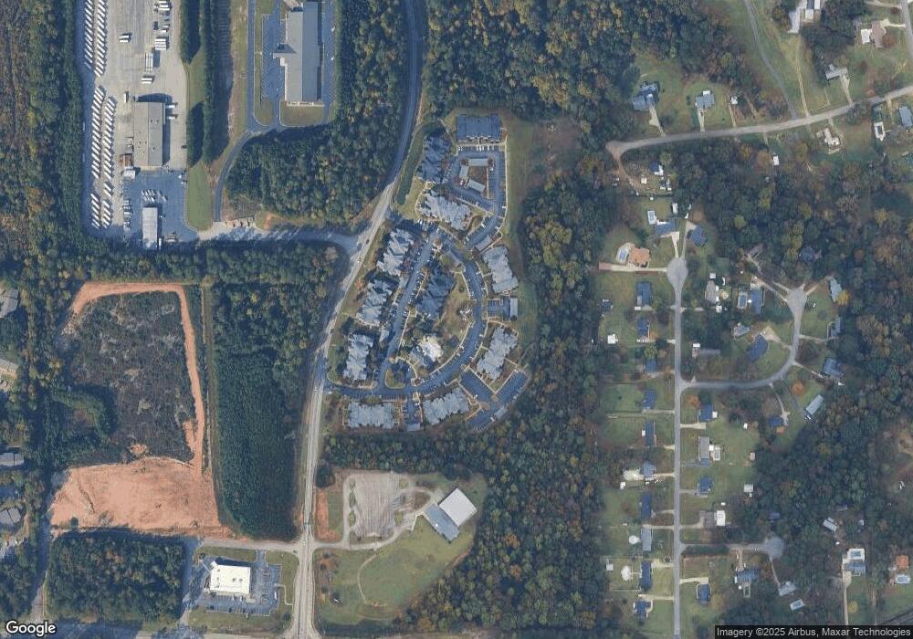
Map
Nearby Homes
- 2995 Hogansville Rd
- 210 Sivell Rd
- 228 Sivell Rd
- 89 Clearwater Dr
- 234 River Meadow Dr
- 200 River Meadow Dr
- Hemingway Plan at Crossvine Village
- Mira Plan at Crossvine Village
- Cecil Plan at Crossvine Village
- Tucker FP Plan at Crossvine Village
- Sierra Plan at Crossvine Village
- Jodeco FP Plan at Crossvine Village
- Nottely Plan at Crossvine Village
- Carter Plan at Crossvine Village
- Winston Plan at Crossvine Village
- Nelson Plan at Crossvine Village
- Madison Plan at Crossvine Village
- 206 Freshwater Ct Unit 34E
- 206 Freshwater Ct
- 204 Freshwater Ct
- 140 N Davis Rd
- 220 N Davis Rd
- 303 Merrill Dr
- 207 Merrill Dr
- 205 Merrill Dr
- 203 Merrill Dr
- 305 Merrill Dr
- 201 Merrill Dr
- 301 Merrill Dr
- 105 Merrill Dr
- 307 Merrill Dr
- 38 Flat Creek Dr Unit 40
- 64 Flat Creek Dr Unit 39
- 53 Flat Creek Dr Unit 3
- 17 Flat Creek Dr Unit 1
- 71 Flat Creek Dr Unit 4
- 90 Flat Creek Dr
- 53 Flat Creek Dr
- 71 Flat Creek Dr
- 71 Flatcreek Dr