140 Ola Bea Dr Waynesville, NC 28785
Estimated Value: $472,000 - $604,082
2
Beds
3
Baths
1,008
Sq Ft
$541/Sq Ft
Est. Value
About This Home
This home is located at 140 Ola Bea Dr, Waynesville, NC 28785 and is currently estimated at $545,027, approximately $540 per square foot. 140 Ola Bea Dr is a home with nearby schools including Jonathan Valley Elementary School, Waynesville Middle, and Tuscola High.
Ownership History
Date
Name
Owned For
Owner Type
Purchase Details
Closed on
Sep 26, 2005
Sold by
Kane Michael and Kane Jessielyn
Bought by
Blad Craig S and Blad Selena B
Current Estimated Value
Home Financials for this Owner
Home Financials are based on the most recent Mortgage that was taken out on this home.
Original Mortgage
$34,000
Interest Rate
5.76%
Mortgage Type
New Conventional
Create a Home Valuation Report for This Property
The Home Valuation Report is an in-depth analysis detailing your home's value as well as a comparison with similar homes in the area
Home Values in the Area
Average Home Value in this Area
Purchase History
| Date | Buyer | Sale Price | Title Company |
|---|---|---|---|
| Blad Craig S | $42,500 | None Available |
Source: Public Records
Mortgage History
| Date | Status | Borrower | Loan Amount |
|---|---|---|---|
| Closed | Blad Craig S | $34,000 |
Source: Public Records
Tax History Compared to Growth
Tax History
| Year | Tax Paid | Tax Assessment Tax Assessment Total Assessment is a certain percentage of the fair market value that is determined by local assessors to be the total taxable value of land and additions on the property. | Land | Improvement |
|---|---|---|---|---|
| 2025 | -- | $356,700 | $146,000 | $210,700 |
| 2024 | $2,327 | $349,700 | $139,000 | $210,700 |
| 2023 | $2,327 | $349,700 | $139,000 | $210,700 |
| 2022 | $2,275 | $349,700 | $139,000 | $210,700 |
| 2021 | $2,275 | $349,700 | $139,000 | $210,700 |
| 2020 | $2,203 | $312,100 | $146,000 | $166,100 |
| 2019 | $2,208 | $312,100 | $146,000 | $166,100 |
| 2018 | $2,208 | $312,100 | $146,000 | $166,100 |
| 2017 | $2,208 | $312,100 | $0 | $0 |
| 2016 | $2,159 | $313,600 | $0 | $0 |
| 2015 | $2,159 | $313,600 | $0 | $0 |
| 2014 | $2,009 | $313,600 | $0 | $0 |
Source: Public Records
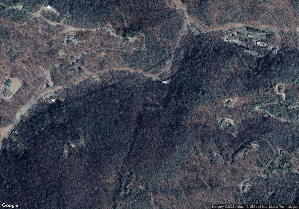
Map
Nearby Homes
- 155 Creekwalk Ln
- 133 Creekwalk Ln
- 123 Creek Walk Ln
- 111 Creek Walk Ln
- 105 Clear Creek Ln
- 99 Clear Creek Ln
- 92 Clear Creek Ln
- 75 Creekwalk Ln
- 318 Grapevine Cove Rd
- 283 Grapevine Cove Rd
- Lot B10 Rockmont Rd
- Lot 501 Spellbound Rd
- 976 Slippery Rock Rd
- Lot 303 Slippery Rock Rd
- Lot 507 Slippery Rock Rd
- 508 Slippery Rock Rd
- TBD Appaloosa Trail
- 23 Forbidden Cove
- 274 Slippery Rock Rd
- 574 Appaloosa Trail
- 60 Ola Bea Dr
- 2047 Sutton Town Rd
- 2043 Sutton Town Rd
- 127 Pearson Ridge
- Lot Wild Turkey Run Rd
- 00 Wild Turkey Run Rd
- 000 Wild Turkey Run Rd
- 2259 Sutton Town Rd
- 0 Wild Turkey Run Unit NCM456155
- 0 Wild Turkey Run Unit NCM481223
- 0 Wild Turkey Run Unit NCM515534
- 268 Greenleaf Dr
- Tract 3 Atunyote Ridge Unit 3
- 186 Fallen Timber Dr
- 352 Panther Springs Gap Rd
- 324 Greenleaf Dr
- 191 Panther Springs Gap Rd
- 0 Off Sutton Town Rd Unit 3323162
- 0 Off Sutton Town Rd Unit NCM511186
- 0 Off Sutton Town Rd Unit 3323121