140 Outpost Ln Evergreen, CO 80439
Floyd Hill NeighborhoodEstimated Value: $1,356,004 - $2,186,000
4
Beds
7
Baths
8,688
Sq Ft
$200/Sq Ft
Est. Value
About This Home
This home is located at 140 Outpost Ln, Evergreen, CO 80439 and is currently estimated at $1,737,001, approximately $199 per square foot. 140 Outpost Ln is a home located in Clear Creek County with nearby schools including Clear Creek Middle School and Clear Creek High School.
Ownership History
Date
Name
Owned For
Owner Type
Purchase Details
Closed on
Jun 28, 2019
Sold by
Simms Ericv
Bought by
Lepard Kent Alan and Lepard Mary Elizabeth
Current Estimated Value
Home Financials for this Owner
Home Financials are based on the most recent Mortgage that was taken out on this home.
Original Mortgage
$1,045,000
Outstanding Balance
$918,874
Interest Rate
4%
Mortgage Type
New Conventional
Estimated Equity
$818,127
Purchase Details
Closed on
Jun 16, 2011
Sold by
Bac Home Loans Servicing L P
Bought by
Simms Eric
Create a Home Valuation Report for This Property
The Home Valuation Report is an in-depth analysis detailing your home's value as well as a comparison with similar homes in the area
Home Values in the Area
Average Home Value in this Area
Purchase History
| Date | Buyer | Sale Price | Title Company |
|---|---|---|---|
| Lepard Kent Alan | $1,645,000 | Land Title Guarantee Co | |
| Simms Eric | $1,005,000 | None Available |
Source: Public Records
Mortgage History
| Date | Status | Borrower | Loan Amount |
|---|---|---|---|
| Open | Lepard Kent Alan | $1,045,000 |
Source: Public Records
Tax History
| Year | Tax Paid | Tax Assessment Tax Assessment Total Assessment is a certain percentage of the fair market value that is determined by local assessors to be the total taxable value of land and additions on the property. | Land | Improvement |
|---|---|---|---|---|
| 2025 | $10,767 | $121,390 | $11,010 | $110,380 |
| 2024 | $7,244 | $87,420 | $11,320 | $76,100 |
| 2023 | $7,222 | $87,420 | $11,320 | $76,100 |
| 2022 | $7,875 | $94,510 | $12,240 | $82,270 |
| 2021 | $7,931 | $97,230 | $12,590 | $84,640 |
| 2020 | $7,513 | $97,230 | $12,590 | $84,640 |
| 2019 | $7,485 | $97,180 | $12,590 | $84,590 |
| 2018 | $6,137 | $81,820 | $12,680 | $69,140 |
| 2017 | $6,380 | $81,820 | $12,680 | $69,140 |
| 2016 | $5,729 | $74,490 | $14,020 | $60,470 |
| 2015 | -- | $74,490 | $14,020 | $60,470 |
| 2014 | -- | $74,010 | $14,440 | $59,570 |
Source: Public Records
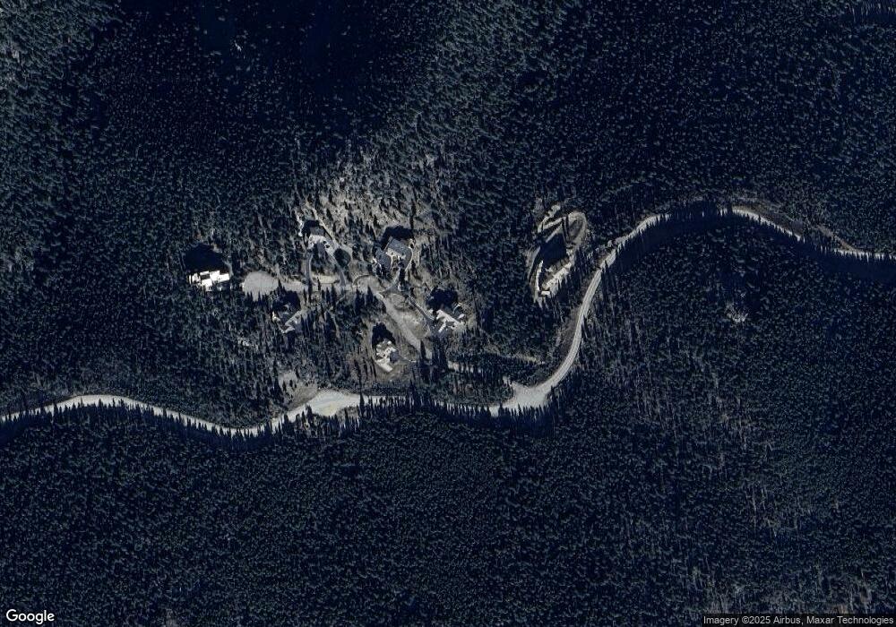
Map
Nearby Homes
- 1695 Packsaddle Rd
- 1695 Packsaddle Trail
- 180 Outpost Ln
- 1697 Packsaddle Trail
- 100 Halter Way
- 85 Santa Fe Mountain Rd
- 0 Elk Valley Dr Unit REC6161122
- Tbd Clear Creek Rd
- 1055 Saddleback Dr
- 799 Clear Creek Rd
- 535 Elk Valley Dr
- 290 Elk Valley Dr
- 2080 Santa Fe Mountain Rd
- TBD Clear Creek Rd
- 900 Elk Valley Dr
- 1295 Hy Vu Dr
- 900 Sawmill Creek Rd
- 76 Ponderosa Place Unit 285 & 288
- 3665 Beaver Brook Canyon Rd
- 55 Meadow View Dr
- 0 Lot 19 Outpost Ln Unit 720707
- 0 Lot 19 Outpost Ln Unit 671424
- 170 Outpost Ln
- 81 Outpost Ln
- 17 Outpost Ln
- 0 Outpost Ln
- 151 Outpost Ln
- 150 Outpost Ln
- 4010 Beaver Brook Canyon Rd
- 3835 Beaver Brook Canyon Rd
- 350 Packsaddle Trail
- 3735 Beaver Brook Canyon Rd
- 220 Halter Way
- 3830 Beaver Brook Canyon Rd
- 300 Packsaddle Trail
- 44 Pommel Ln
- 160 Santa Fe Mountain Rd
- 160 Santa Fe Mountain Rd Unit 2
- 160 Santa Fe Mountain Rd Unit 1
- 102 Halter Way
Your Personal Tour Guide
Ask me questions while you tour the home.