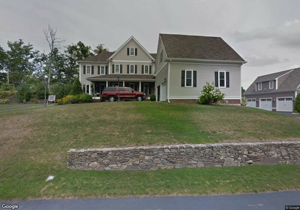
140 Riverside Dr Wrentham, MA 02093
Estimated Value: $1,334,234 - $1,546,000
4
Beds
4
Baths
4,535
Sq Ft
$327/Sq Ft
Est. Value
About This Home
This home is located at 140 Riverside Dr, Wrentham, MA 02093 and is currently estimated at $1,483,059, approximately $327 per square foot. 140 Riverside Dr is a home located in Norfolk County with nearby schools including Delaney Elementary School and Charles E Roderick.
Ownership History
Date
Name
Owned For
Owner Type
Purchase Details
Closed on
Aug 7, 2007
Sold by
Foley Deirdre J and Foley Michael J
Bought by
Foley Rt
Current Estimated Value
Purchase Details
Closed on
Jan 12, 2006
Sold by
Diplacido Dev Corp
Bought by
Foley Deirdre J and Foley Michael J
Home Financials for this Owner
Home Financials are based on the most recent Mortgage that was taken out on this home.
Original Mortgage
$669,920
Interest Rate
6.28%
Mortgage Type
Purchase Money Mortgage
Create a Home Valuation Report for This Property
The Home Valuation Report is an in-depth analysis detailing your home's value as well as a comparison with similar homes in the area
Purchase History
| Date | Buyer | Sale Price | Title Company |
|---|---|---|---|
| Foley Rt | -- | -- | |
| Foley Deirdre J | $837,400 | -- |
Source: Public Records
Mortgage History
| Date | Status | Borrower | Loan Amount |
|---|---|---|---|
| Previous Owner | Foley Deirdre J | $669,920 | |
| Previous Owner | Foley Deirdre J | $83,740 |
Source: Public Records
Tax History
| Year | Tax Paid | Tax Assessment Tax Assessment Total Assessment is a certain percentage of the fair market value that is determined by local assessors to be the total taxable value of land and additions on the property. | Land | Improvement |
|---|---|---|---|---|
| 2025 | $14,545 | $1,255,000 | $316,500 | $938,500 |
| 2024 | $13,656 | $1,138,000 | $316,500 | $821,500 |
| 2023 | $13,786 | $1,092,400 | $287,700 | $804,700 |
| 2022 | $13,044 | $954,200 | $261,500 | $692,700 |
| 2021 | $12,635 | $898,000 | $261,500 | $636,500 |
| 2020 | $13,325 | $935,100 | $215,000 | $720,100 |
| 2019 | $12,733 | $901,800 | $215,000 | $686,800 |
| 2018 | $11,845 | $831,800 | $215,200 | $616,600 |
| 2017 | $11,752 | $824,700 | $211,000 | $613,700 |
| 2016 | $11,617 | $813,500 | $204,900 | $608,600 |
| 2015 | $11,773 | $785,900 | $197,000 | $588,900 |
| 2014 | $11,674 | $762,500 | $189,500 | $573,000 |
Source: Public Records
Map
Nearby Homes
- 10 Earle Stewart Ln Unit Lot 5
- 12 Earle Stewart Ln
- 2 Earle Stewart Ln
- 3 Earle Stewart Ln
- 440 Chestnut St
- 500 Franklin St
- 10 Nature View Dr
- 15 Nature View Dr
- 613 West St
- 1222 South St
- 955 Summer St
- 287 Park St
- 50 Reed Fulton Ave Unit Lot 61
- 0 Fall Ln
- 20 Field Cir
- 0 Berry St
- 75 Jordan Rd
- 18 Huntington Ave
- 19 Chestnut Lot 0
- 3 Oak View Terrace Unit 3
- 130 Riverside Dr
- 195 Riverside Dr
- 150 Riverside Dr
- 205 Riverside Dr
- 185 Riverside Dr
- 15 Pokanoket Path
- 175 Riverside Dr
- 5 Pokanoket Path
- 165 Riverside Dr
- 25 Pokanoket Path
- 155 Riverside Dr
- 124 Riverside Dr
- 35 Pokanoket Path
- 55 Pokanoket Path
- 30 Pokanoket Path
- 145 Riverside Dr
- 40 Pokanoket Path
- 120 Riverside Dr
- 65 Pokanoket Path
- 135 Riverside Dr
Your Personal Tour Guide
Ask me questions while you tour the home.