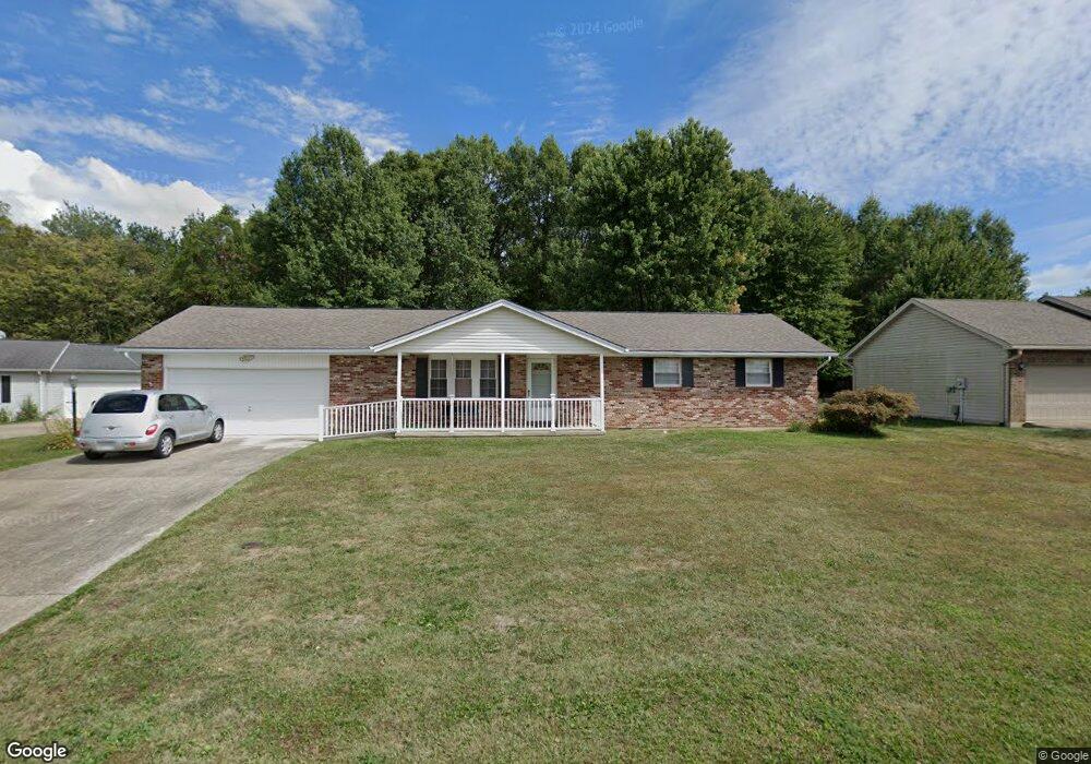
140 Roundhouse Cir Georgetown, OH 45121
Estimated Value: $188,000 - $250,000
3
Beds
2
Baths
1,248
Sq Ft
$179/Sq Ft
Est. Value
About This Home
This home is located at 140 Roundhouse Cir, Georgetown, OH 45121 and is currently estimated at $223,873, approximately $179 per square foot. 140 Roundhouse Cir is a home located in Brown County with nearby schools including Georgetown Elementary School and Georgetown Jr/Sr High School.
Ownership History
Date
Name
Owned For
Owner Type
Purchase Details
Closed on
Aug 9, 2006
Sold by
Bruce Pamela S and The Dorothy R Garrison Trust
Bought by
Alcorn Wilma
Current Estimated Value
Home Financials for this Owner
Home Financials are based on the most recent Mortgage that was taken out on this home.
Original Mortgage
$96,000
Outstanding Balance
$57,856
Interest Rate
6.83%
Mortgage Type
Purchase Money Mortgage
Estimated Equity
$166,017
Purchase Details
Closed on
Apr 1, 1998
Sold by
Schuster John
Bought by
Garrison Dorothy R
Create a Home Valuation Report for This Property
The Home Valuation Report is an in-depth analysis detailing your home's value as well as a comparison with similar homes in the area
Home Values in the Area
Average Home Value in this Area
Purchase History
| Date | Buyer | Sale Price | Title Company |
|---|---|---|---|
| Alcorn Wilma | $120,000 | None Available | |
| Garrison Dorothy R | $88,000 | -- |
Source: Public Records
Mortgage History
| Date | Status | Borrower | Loan Amount |
|---|---|---|---|
| Open | Alcorn Wilma | $96,000 |
Source: Public Records
Tax History Compared to Growth
Tax History
| Year | Tax Paid | Tax Assessment Tax Assessment Total Assessment is a certain percentage of the fair market value that is determined by local assessors to be the total taxable value of land and additions on the property. | Land | Improvement |
|---|---|---|---|---|
| 2024 | $2,046 | $57,750 | $6,410 | $51,340 |
| 2023 | $2,046 | $45,570 | $5,540 | $40,030 |
| 2022 | $1,757 | $45,570 | $5,540 | $40,030 |
| 2021 | $1,741 | $45,570 | $5,540 | $40,030 |
| 2020 | $1,541 | $37,990 | $4,620 | $33,370 |
| 2019 | $765 | $37,990 | $4,620 | $33,370 |
| 2018 | $1,520 | $37,990 | $4,620 | $33,370 |
| 2017 | $1,206 | $35,800 | $5,080 | $30,720 |
| 2016 | $1,206 | $35,800 | $5,080 | $30,720 |
| 2015 | $1,257 | $35,800 | $5,080 | $30,720 |
| 2014 | $1,257 | $35,340 | $4,620 | $30,720 |
| 2013 | $1,253 | $35,340 | $4,620 | $30,720 |
Source: Public Records
Map
Nearby Homes
- 143 Hamer Rd
- 874 Mount Orab Pike
- 2 N Kenwood Ave
- 1 N Kenwood Ave
- 427 Kenwood Ave
- 331 Spring Grove Dr
- 508 Mount Orab Pike
- 403 Elmwood Ct
- 399 Elmwood Ct
- 401 Elmwood Ct
- 60 New St
- 406 E North St
- 405 N Main St
- 102 Bill Dee Dr
- 306 W 2nd St
- 666 E State St
- 402 S Pleasant St
- 708 E State St
- 505 S Water St
- 418 Home St
- 120 Roundhouse Cir
- 160 Roundhouse Cir
- 8 Roundhouse Cir
- 155 Station Dr
- 135 Roundhouse Cir
- 180 Roundhouse Cir
- 195 Roundhouse Cir
- 155 Roundhouse Cir
- 125 Station Dr
- 175 Roundhouse Cir
- 200 Station Dr
- 115 Station Dr
- 112 Station Dr
- 105 Station Dr
- 75 Depot Cir
- 60 Depot Cir
- 110 Station Dr
- 40 Depot Cir
- 40 Depot Cir
- 95 Station Dr