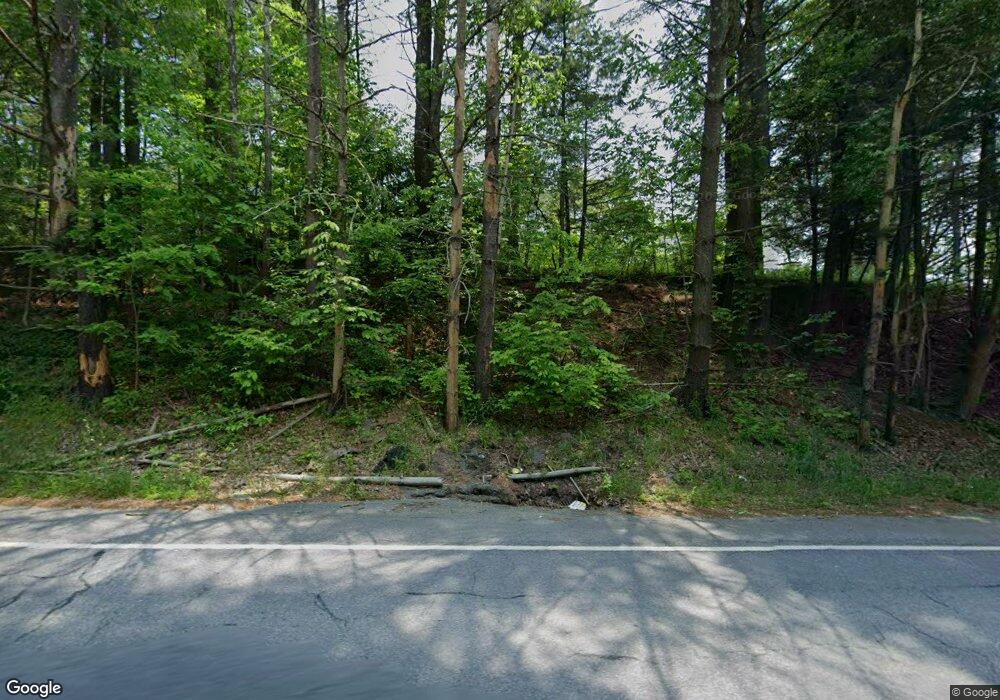
140 Route 390 Cresco, PA 18326
Estimated Value: $185,000 - $222,000
3
Beds
1
Bath
605
Sq Ft
$337/Sq Ft
Est. Value
About This Home
This home is located at 140 Route 390, Cresco, PA 18326 and is currently estimated at $203,816, approximately $336 per square foot. 140 Route 390 is a home located in Monroe County with nearby schools including Swiftwater Interm School, Swiftwater Elementary Center, and Pocono Mountain East Junior High School.
Ownership History
Date
Name
Owned For
Owner Type
Purchase Details
Closed on
Jun 8, 2007
Sold by
Edwards Richard Lee and Reinhardt Joan Elizabeth
Bought by
Cooke Michael and Cooke Vicki
Current Estimated Value
Home Financials for this Owner
Home Financials are based on the most recent Mortgage that was taken out on this home.
Original Mortgage
$112,000
Outstanding Balance
$68,346
Interest Rate
6.14%
Mortgage Type
New Conventional
Estimated Equity
$135,470
Purchase Details
Closed on
Aug 13, 2003
Bought by
Elliott Michael and Elliott Aleta
Create a Home Valuation Report for This Property
The Home Valuation Report is an in-depth analysis detailing your home's value as well as a comparison with similar homes in the area
Home Values in the Area
Average Home Value in this Area
Purchase History
| Date | Buyer | Sale Price | Title Company |
|---|---|---|---|
| Cooke Michael | $140,000 | None Available | |
| Elliott Michael | $140,000 | -- |
Source: Public Records
Mortgage History
| Date | Status | Borrower | Loan Amount |
|---|---|---|---|
| Open | Cooke Michael | $112,000 |
Source: Public Records
Tax History Compared to Growth
Tax History
| Year | Tax Paid | Tax Assessment Tax Assessment Total Assessment is a certain percentage of the fair market value that is determined by local assessors to be the total taxable value of land and additions on the property. | Land | Improvement |
|---|---|---|---|---|
| 2025 | $503 | $75,870 | $23,120 | $52,750 |
| 2024 | $392 | $75,870 | $23,120 | $52,750 |
| 2023 | $1,887 | $75,870 | $23,120 | $52,750 |
| 2022 | $1,853 | $75,870 | $23,120 | $52,750 |
| 2021 | $1,853 | $75,870 | $23,120 | $52,750 |
| 2020 | $1,400 | $75,870 | $23,120 | $52,750 |
| 2019 | $2,627 | $11,910 | $3,470 | $8,440 |
| 2018 | $1,957 | $11,910 | $3,470 | $8,440 |
| 2017 | $1,981 | $11,910 | $3,470 | $8,440 |
| 2016 | $345 | $11,910 | $3,470 | $8,440 |
| 2015 | -- | $11,910 | $3,470 | $8,440 |
| 2014 | -- | $11,910 | $3,470 | $8,440 |
Source: Public Records
Map
Nearby Homes
- 201 Blackberry Dr
- 349 Carlton Rd
- 210 Grouse Run
- 104 Sonnys Trail
- 0 Grange Rd Unit PM-122336
- 436 Cranberry Creek Rd
- 188 Olde Schoolhouse Rd
- 456 Devils Hole Rd
- 1163 Bush Rd
- 642 Tulip Tree Ln
- 6509 Route 191
- 115 Knob Rd
- 153 Pine Tree Dr
- 150 Burton Rd
- 262 Lower Swiftwater Rd
- 216 Buckhorn Ln
- 37 Seneca Rd
- 349 Bumblebee Pass
- 35 Brookeville Terrace Unit Lot 121
- 0 Route 191 Unit PWBPW243056
- RR2 Box 93 Route 507
- 122 Route 390
- 139 Peterson Hill Rd
- 133 Pennsylvania 390
- 142 Route 390
- 3650 Blackberry Dr
- 0 Rte 390
- 20 Pennsylvania 390
- 54 Pennsylvania 390
- 119 Blackberry Dr
- 115 Route 390
- 19-C-715 Pa-390 Promised Land
- 110 Lloyd Ln
- 0 Route 390 Unit 5-4640
- 0 Route 390 Unit 3-3011
- 0 Route 390 Unit 6-4013
- 0 Route 390 Unit 4-5291
- 0 Route 390 Unit 6-4994
- 0 Route 390 Unit 7-10351
- 0 Route 390 Unit 6-12931
