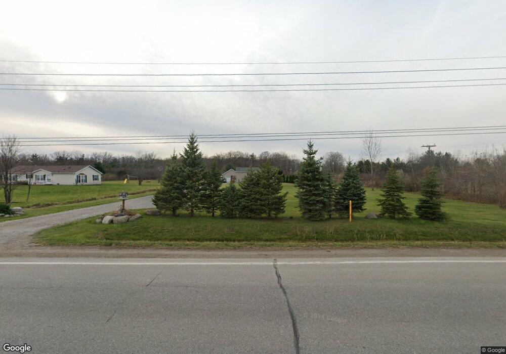
140 S Range Rd Saint Clair, MI 48079
Estimated Value: $277,714 - $340,000
3
Beds
2
Baths
1,170
Sq Ft
$262/Sq Ft
Est. Value
About This Home
This home is located at 140 S Range Rd, Saint Clair, MI 48079 and is currently estimated at $306,179, approximately $261 per square foot. 140 S Range Rd is a home located in St. Clair County with nearby schools including Marysville High School, St. Clair County Intervention Academy, and Blue Water SDA Elementary School.
Ownership History
Date
Name
Owned For
Owner Type
Purchase Details
Closed on
Mar 30, 2022
Sold by
Lehman Edward
Bought by
Vadalabene Dawn M and Vadalabene Michael J
Current Estimated Value
Home Financials for this Owner
Home Financials are based on the most recent Mortgage that was taken out on this home.
Original Mortgage
$181,600
Outstanding Balance
$170,370
Interest Rate
4.75%
Mortgage Type
New Conventional
Estimated Equity
$135,809
Create a Home Valuation Report for This Property
The Home Valuation Report is an in-depth analysis detailing your home's value as well as a comparison with similar homes in the area
Home Values in the Area
Average Home Value in this Area
Purchase History
| Date | Buyer | Sale Price | Title Company |
|---|---|---|---|
| Vadalabene Dawn M | $245,000 | Liberty Title | |
| Vadalabene Dawn M | $245,000 | Liberty Title |
Source: Public Records
Mortgage History
| Date | Status | Borrower | Loan Amount |
|---|---|---|---|
| Open | Vadalabene Dawn M | $181,600 | |
| Closed | Vadalabene Dawn M | $181,600 |
Source: Public Records
Tax History
| Year | Tax Paid | Tax Assessment Tax Assessment Total Assessment is a certain percentage of the fair market value that is determined by local assessors to be the total taxable value of land and additions on the property. | Land | Improvement |
|---|---|---|---|---|
| 2025 | $1,385 | $122,400 | $0 | $0 |
| 2024 | $1,402 | $139,600 | $0 | $0 |
| 2023 | $1,335 | $118,000 | $0 | $0 |
| 2022 | $670 | $105,200 | $0 | $0 |
| 2020 | $1,748 | $84,100 | $84,100 | $0 |
| 2019 | $1,090 | $74,300 | $0 | $0 |
| 2018 | $1,682 | $74,300 | $0 | $0 |
| 2017 | $1,649 | $65,600 | $0 | $0 |
| 2016 | $596 | $65,600 | $0 | $0 |
| 2015 | -- | $61,400 | $61,400 | $0 |
| 2014 | -- | $58,500 | $58,500 | $0 |
| 2013 | -- | $52,700 | $0 | $0 |
Source: Public Records
Map
Nearby Homes
- 4601 Gratiot Rd
- 825 Joanwood Dr
- 955 Covington Ct
- 1745 Wisconsin Ave
- 2075 Pauls Ct
- 1671 New Jersey Ave
- 1330 Minnesota Ave
- 192 Pickford Rd
- 5054 Gratiot Ave
- 1207 Colorado St
- 354 Marion Ave
- 1875 Michigan Ave Unit F61
- 0 Gratiot Blvd Unit 50105825
- 0 Georgia Ave Unit 20251028141
- 1900 River Rd Unit 2
- 1875 C-12 Michigan Ave Unit C-12
- 2226 River Rd
- 50 Mack Ave Unit 127
- 765 Lomasney Ln
- 1700 River Rd Unit 10
- 172 S Range Rd
- 0 Range Rd and 18th
- 134 S Range Rd
- 0 Range Rd & 18th St
- 4530 Cuttle Rd
- 251 Range - Cuttle Rd
- 116 S Range Rd
- 110 S Range Rd
- 110 S Range Rd
- 110 S Range Rd
- 4581 16th St
- 4576 16th St
- 300 Murphy Dr
- 4615 16th St
- 0 Range Rd & Cuttle Rd
- 4665 16th St
- 0 Cuttle Rd Unit 216082071
- 0 Cuttle Rd
- 0 Cuttle Rd Unit G31298747
- 0 Cuttle Rd Unit G31311763