140 SE Home Port Ln Shelton, WA 98584
Estimated Value: $459,000 - $752,000
1
Bed
1
Bath
1,620
Sq Ft
$402/Sq Ft
Est. Value
About This Home
This home is located at 140 SE Home Port Ln, Shelton, WA 98584 and is currently estimated at $650,591, approximately $401 per square foot. 140 SE Home Port Ln is a home located in Mason County with nearby schools including Bordeaux Elementary School, Olympic Middle School, and Oakland Bay Junior High School.
Ownership History
Date
Name
Owned For
Owner Type
Purchase Details
Closed on
Aug 8, 2005
Sold by
Rossow Bradley R and Rossow Debra J
Bought by
Odiorne Raymond L and Odiorne Patricia L
Current Estimated Value
Home Financials for this Owner
Home Financials are based on the most recent Mortgage that was taken out on this home.
Original Mortgage
$56,000
Interest Rate
5.12%
Mortgage Type
Stand Alone Second
Create a Home Valuation Report for This Property
The Home Valuation Report is an in-depth analysis detailing your home's value as well as a comparison with similar homes in the area
Home Values in the Area
Average Home Value in this Area
Purchase History
| Date | Buyer | Sale Price | Title Company |
|---|---|---|---|
| Odiorne Raymond L | $279,900 | First American Title Insuran |
Source: Public Records
Mortgage History
| Date | Status | Borrower | Loan Amount |
|---|---|---|---|
| Closed | Odiorne Raymond L | $56,000 | |
| Open | Odiorne Raymond L | $223,900 |
Source: Public Records
Tax History Compared to Growth
Tax History
| Year | Tax Paid | Tax Assessment Tax Assessment Total Assessment is a certain percentage of the fair market value that is determined by local assessors to be the total taxable value of land and additions on the property. | Land | Improvement |
|---|---|---|---|---|
| 2025 | $5,534 | $558,565 | $130,145 | $428,420 |
| 2024 | $5,500 | $578,485 | $163,460 | $415,025 |
| 2023 | $5,544 | $543,200 | $121,095 | $422,105 |
| 2022 | $5,174 | $458,955 | $103,500 | $355,455 |
| 2021 | $5,010 | $458,955 | $103,500 | $355,455 |
| 2020 | $4,733 | $404,155 | $91,590 | $312,565 |
| 2018 | $3,826 | $247,225 | $88,415 | $158,810 |
| 2017 | $3,263 | $247,225 | $88,415 | $158,810 |
| 2016 | $3,042 | $233,270 | $84,080 | $149,190 |
| 2015 | $2,955 | $219,335 | $78,010 | $141,325 |
| 2014 | -- | $216,290 | $78,010 | $138,280 |
| 2013 | -- | $201,735 | $78,010 | $123,725 |
Source: Public Records
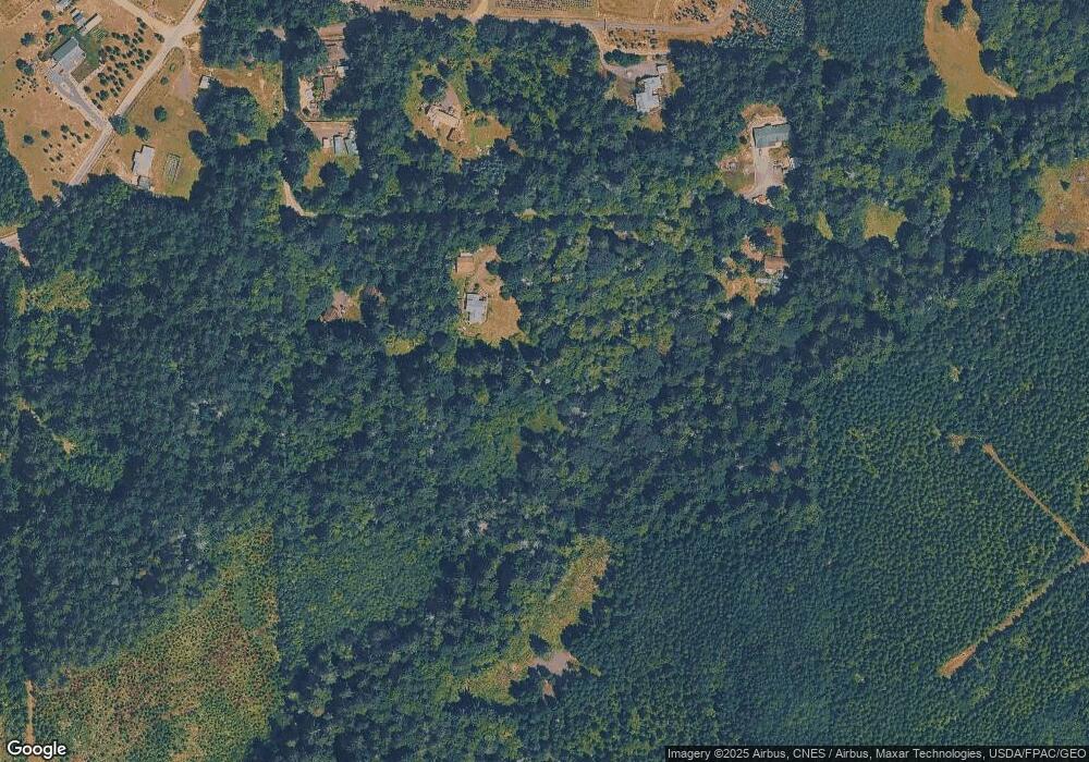
Map
Nearby Homes
- 310 SE Sells Dr
- 222 SE Sells Dr
- 407 SE Allen Rd
- 0 SE Paulcyn Ln
- 0 E Lynch Rd Unit NWM2421493
- 3211 SE Kamilche Point Rd
- 691 SE Picadilly Dr
- 361 SE Totten Shores Dr
- 461 SE Kamilche Shores Rd
- 730 SE Nelson Rd
- 7707 78th Loop NW
- 0 SE Somers Dr
- 551 SE Kamilche Shores Rd
- 7626 78th Loop NW
- 80 SE Channel Point Rd
- 898 SE Dahman Rd
- 1053 SE Binns Swiger Loop Rd
- 64 SE Gosnell Ln
- 21 SE Iris Place
- 800 SE Crescent Dr
- 60 SE Home Port Ln
- 90 SE Dusty Ln
- 150 SE Dusty Ln
- 300 SE Home Port Ln
- 950 SE Phillips Rd
- 291 SE Home Port Ln
- 930 SE Phillips Rd
- 0 SE Ashley Rd
- 0 SE Ashley Rd Unit NWM2031935
- 0 SE Ashley Rd Unit NWM1894294
- 0 SE Ashley Rd Unit NWM1894295
- 20 SE Ashley Rd
- 931 SE Phillips Rd
- 981 SE Phillips Rd
- 990 SE Phillips Rd
- 22 SE Ashley Rd
- 103 SE Dusty Ln
- 103 SE Dusty Ln
- 630 SE Phillips Rd
- 1000 SE Phillips Rd