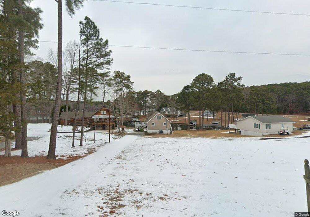
140 Shearin Dr Littleton, NC 27850
Estimated Value: $447,000 - $798,000
3
Beds
3
Baths
2,160
Sq Ft
$292/Sq Ft
Est. Value
About This Home
This home is located at 140 Shearin Dr, Littleton, NC 27850 and is currently estimated at $631,462, approximately $292 per square foot. 140 Shearin Dr is a home located in Halifax County with nearby schools including Everetts Elementary School, William R. Davie Middle School, and Northwest Halifax High School.
Ownership History
Date
Name
Owned For
Owner Type
Purchase Details
Closed on
Nov 18, 2010
Sold by
Blanchard Franklin D and Blanchard Martha H
Bought by
Billman Scott W and Billman Elizabeth A
Current Estimated Value
Home Financials for this Owner
Home Financials are based on the most recent Mortgage that was taken out on this home.
Original Mortgage
$280,000
Outstanding Balance
$184,080
Interest Rate
4.2%
Mortgage Type
New Conventional
Estimated Equity
$447,382
Create a Home Valuation Report for This Property
The Home Valuation Report is an in-depth analysis detailing your home's value as well as a comparison with similar homes in the area
Home Values in the Area
Average Home Value in this Area
Purchase History
| Date | Buyer | Sale Price | Title Company |
|---|---|---|---|
| Billman Scott W | $353,000 | -- |
Source: Public Records
Mortgage History
| Date | Status | Borrower | Loan Amount |
|---|---|---|---|
| Open | Billman Scott W | $280,000 |
Source: Public Records
Tax History Compared to Growth
Tax History
| Year | Tax Paid | Tax Assessment Tax Assessment Total Assessment is a certain percentage of the fair market value that is determined by local assessors to be the total taxable value of land and additions on the property. | Land | Improvement |
|---|---|---|---|---|
| 2025 | $42 | $379,200 | $266,500 | $112,700 |
| 2024 | $42 | $379,200 | $266,500 | $112,700 |
| 2023 | $3,360 | $283,700 | $212,800 | $70,900 |
| 2022 | $3,421 | $283,700 | $212,800 | $70,900 |
| 2021 | $3,471 | $283,700 | $212,800 | $70,900 |
| 2020 | $3,063 | $283,700 | $212,800 | $70,900 |
| 2019 | $3,034 | $274,400 | $212,800 | $61,600 |
| 2018 | $2,999 | $273,600 | $212,800 | $60,800 |
| 2017 | $3,063 | $273,600 | $212,800 | $60,800 |
| 2016 | $2,844 | $273,600 | $212,800 | $60,800 |
| 2015 | $2,310 | $273,600 | $212,800 | $60,800 |
| 2014 | $2,603 | $331,300 | $264,120 | $67,180 |
Source: Public Records
Map
Nearby Homes
- 91 Shearin Dr
- 000 Swan Dr
- 18 Stonecrop Cir
- 157 Three Chopt Rd
- 74 Syd's Bluff
- Lot 73 Syd's Bluff
- 37 Deepwood Ln
- Lot 35 Hickory Ridge Trail
- 250 Riverside Dr
- 336 Sandy Trace Dr
- 40&41 Pine Ridge Trail
- Lot 6 Rabbit Bottom Cir
- 217 Riverside Dr
- 54 Rabbit Bottom Cir
- 501 Richmond Rd
- 492 Richmond Rd
- 1 Starboard Dr
- 176 Mill Stone Rd
- Lots Spring Wood Ct
- Lot 7 Pineview Dr
- 148 Shearin Dr
- 19 Shearin Dr
- 166 Shearin Dr
- 119 Shearin Dr
- 170 Shearin Dr
- 135 Shearin Dr
- 3687 Weavers Chapel Rd
- 186 Shearin Dr
- 28 Shearin Dr
- 28 Shearin Dr
- 3741 Weavers Chapel Rd
- 3721 Weavers Chapel Rd
- 59 Shearin Dr
- 527 N Brown Rd
- 3767 Weavers Chapel Rd
- 473 N Brown Rd Unit JACK
- 3791 Weavers Chapel Rd
- 170 Woodcock Rd
- 0 N Brown Rd
- Lot 28 N Brown Rd
