140 Sheets Rd Stockport, OH 43787
Estimated Value: $178,000 - $271,000
3
Beds
2
Baths
1,920
Sq Ft
$116/Sq Ft
Est. Value
About This Home
This home is located at 140 Sheets Rd, Stockport, OH 43787 and is currently estimated at $222,258, approximately $115 per square foot. 140 Sheets Rd is a home with nearby schools including Warren High School.
Ownership History
Date
Name
Owned For
Owner Type
Purchase Details
Closed on
Aug 5, 2010
Sold by
Bruner Land Company Inc
Bought by
Miller Joseph W and Miller Amy L
Current Estimated Value
Home Financials for this Owner
Home Financials are based on the most recent Mortgage that was taken out on this home.
Original Mortgage
$99,616
Outstanding Balance
$33,383
Interest Rate
4.54%
Mortgage Type
Construction
Estimated Equity
$188,875
Purchase Details
Closed on
Jun 25, 2009
Sold by
Bruner Land Company Inc
Bought by
Miller Joseph W and Miller Amy L
Home Financials for this Owner
Home Financials are based on the most recent Mortgage that was taken out on this home.
Original Mortgage
$17,100
Interest Rate
4.86%
Mortgage Type
Seller Take Back
Purchase Details
Closed on
Jan 20, 2009
Sold by
Muncy Malen
Bought by
Brutner Land Company Inc
Create a Home Valuation Report for This Property
The Home Valuation Report is an in-depth analysis detailing your home's value as well as a comparison with similar homes in the area
Home Values in the Area
Average Home Value in this Area
Purchase History
| Date | Buyer | Sale Price | Title Company |
|---|---|---|---|
| Miller Joseph W | $19,100 | None Available | |
| Miller Joseph W | $19,000 | None Available | |
| Brutner Land Company Inc | $8,550 | Attorney |
Source: Public Records
Mortgage History
| Date | Status | Borrower | Loan Amount |
|---|---|---|---|
| Open | Miller Joseph W | $99,616 | |
| Previous Owner | Miller Joseph W | $17,100 |
Source: Public Records
Tax History Compared to Growth
Tax History
| Year | Tax Paid | Tax Assessment Tax Assessment Total Assessment is a certain percentage of the fair market value that is determined by local assessors to be the total taxable value of land and additions on the property. | Land | Improvement |
|---|---|---|---|---|
| 2024 | $1,577 | $37,990 | $7,640 | $30,350 |
| 2023 | $1,577 | $37,990 | $7,640 | $30,350 |
| 2022 | $1,575 | $37,990 | $7,640 | $30,350 |
| 2021 | $1,185 | $27,090 | $6,220 | $20,870 |
| 2020 | $1,177 | $27,090 | $6,220 | $20,870 |
| 2019 | $1,168 | $27,090 | $6,220 | $20,870 |
| 2018 | $1,176 | $26,520 | $5,650 | $20,870 |
| 2017 | $1,171 | $26,520 | $5,650 | $20,870 |
| 2016 | $1,416 | $26,520 | $5,650 | $20,870 |
| 2015 | $913 | $23,410 | $2,700 | $20,710 |
| 2014 | $146 | $2,700 | $2,700 | $0 |
| 2013 | $52 | $2,700 | $2,700 | $0 |
Source: Public Records
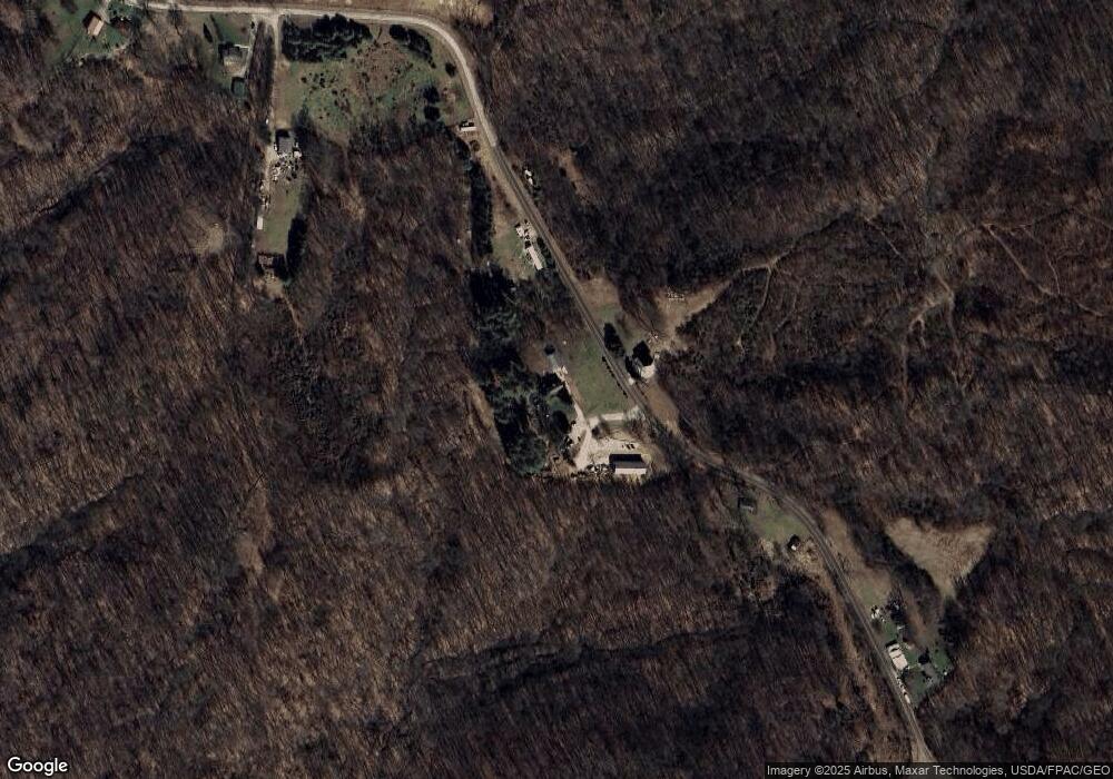
Map
Nearby Homes
- 7600 Marion St
- 0 Ohio 555 Unit 5146049
- 4000 C206
- 5174 Lightner Ridge Rd
- Lot 2 Shinn Rd
- 2187 State Route 550
- Lot 2 Shinn Rd
- Lot 1 Shinn Rd
- 1022 Tullis Rd
- 3111 Big Bottom Ln
- 0 Kosky Dr
- 3291 Kosky Dr
- 681 Downing Rd
- 0 Meadow St Unit Lot 9 5158299
- 0 Meadow St Unit Lot 9 225008020
- 4660 E J Ross Ln
- 3205 Goshen Run Rd
- 1715 South St
- 781 Downing Rd
- 1770 Broadway St
- 155 Sheets Rd
- 250 Sheets Rd
- 323 E Buckeye Ridge Rd
- 375 E Buckeye Ridge Rd
- 343 E Buckeye Ridge Rd
- 255 E Buckeye Ridge Rd
- 375 Sheets Rd
- 425 E Buckeye Ridge Rd
- 435 Croston Rd
- 246 E Buckeye Ridge Rd
- 113 Buckeye Ridge Rd
- 1340 Niceswanger Rd
- 28 Buckeye Ridge Rd
- 425 Buckeye Ridge Rd
- 1700 State Route 676
- 0 State Route 555 Unit 3712173
- 0 State Route 555 Unit 3910813
- 0 State Route 555 Unit 223014773
- 0 State Route 555 Unit 223000358
- 0 State Route 555 Unit 4430658