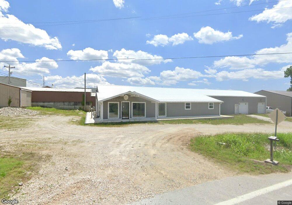
140 State Highway T Branson, MO 65616
Estimated Value: $188,276
Studio
--
Bath
6,000
Sq Ft
$31/Sq Ft
Est. Value
About This Home
This home is located at 140 State Highway T, Branson, MO 65616 and is currently estimated at $188,276, approximately $31 per square foot. 140 State Highway T is a home located in Taney County with nearby schools including Kirbyville Elementary School, Kirbyville Middle School, and Trinity Christian Academy.
Ownership History
Date
Name
Owned For
Owner Type
Purchase Details
Closed on
Feb 1, 2018
Sold by
Central Bank Of The Ozarks
Bought by
Miles Richard W and Maria Miles E
Current Estimated Value
Home Financials for this Owner
Home Financials are based on the most recent Mortgage that was taken out on this home.
Original Mortgage
$92,000
Outstanding Balance
$77,556
Interest Rate
3.99%
Mortgage Type
Commercial
Estimated Equity
$110,720
Purchase Details
Closed on
Aug 23, 2006
Sold by
Quisenberry Dana
Bought by
Declound Gary
Home Financials for this Owner
Home Financials are based on the most recent Mortgage that was taken out on this home.
Original Mortgage
$140,000
Interest Rate
6.72%
Mortgage Type
Future Advance Clause Open End Mortgage
Create a Home Valuation Report for This Property
The Home Valuation Report is an in-depth analysis detailing your home's value as well as a comparison with similar homes in the area
Purchase History
| Date | Buyer | Sale Price | Title Company |
|---|---|---|---|
| Miles Richard W | -- | None Available | |
| Declound Gary | -- | -- |
Source: Public Records
Mortgage History
| Date | Status | Borrower | Loan Amount |
|---|---|---|---|
| Open | Miles Richard W | $92,000 | |
| Previous Owner | Declound Gary | $140,000 |
Source: Public Records
Tax History
| Year | Tax Paid | Tax Assessment Tax Assessment Total Assessment is a certain percentage of the fair market value that is determined by local assessors to be the total taxable value of land and additions on the property. | Land | Improvement |
|---|---|---|---|---|
| 2025 | $813 | $16,730 | -- | -- |
| 2023 | $813 | $16,440 | $0 | $0 |
| 2022 | $813 | $16,440 | $0 | $0 |
| 2021 | $811 | $16,440 | $0 | $0 |
| 2019 | $856 | $16,440 | $0 | $0 |
| 2018 | $839 | $16,090 | $0 | $0 |
| 2017 | $2,066 | $40,110 | $0 | $0 |
| 2016 | $2,065 | $40,110 | $0 | $0 |
| 2015 | $2,062 | $40,110 | $0 | $0 |
| 2014 | $1,977 | $38,480 | $0 | $0 |
Source: Public Records
Map
Nearby Homes
- 110 W Rockford Dr
- 126 Dragonfly Ln
- 135 Dragonfly Ln
- 160 W Rockford Dr Unit 4
- Lot C-3 Cross Creek Blvd
- 155 W Rockford Dr Unit 1
- 170 W Rockford Dr Unit 5
- 170 W Rockford Dr Unit 2
- 170 W Rockford Dr Unit 10
- 175 W Rockford Dr Unit 5
- 175 W Rockford Dr Unit 2
- 146 Teresa Terrace
- 192 W Rockford Dr Unit 4
- 145 Christian Way
- 146 Stacy St
- 813 Holiday Ridge Unit 11
- 813 Holiday Ridge Unit H-10
- 813 Holiday Ridge Unit H2
- 813 Holiday Ridge Unit 10 & 11
- 813 Holiday Ridge Unit 6
- 167 State Highway T
- 112 State Highway T
- 10 State Highway T
- 214 State Highway T
- 248 State Highway T
- 345 Sunrise Cove
- 345 Sunrise Cove Unit Lot 23
- 329 Sunrise Cove Unit Lot 22
- 280 State Highway T
- 315 Sunrise Cove
- 315 Sunrise Cove Unit Lot 21
- 2410 E State Highway 76
- 301 Sunrise Cove Unit Lot 20
- 2380 E State Highway 76 Unit 140
- 2380 E State Highway 76
- 450 Holts Lake Dr
- 470 Holts Lake Dr
- 470 Holts Lake Dr
- 450 Holt's Lake Dr
- 470 Holt's Lake Dr
Your Personal Tour Guide
Ask me questions while you tour the home.