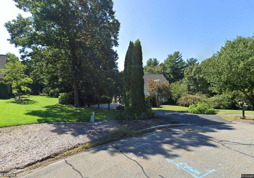
140 Tilting Rock Rd Wrentham, MA 02093
Estimated Value: $1,012,819 - $1,184,000
4
Beds
3
Baths
3,126
Sq Ft
$354/Sq Ft
Est. Value
About This Home
This home is located at 140 Tilting Rock Rd, Wrentham, MA 02093 and is currently estimated at $1,106,955, approximately $354 per square foot. 140 Tilting Rock Rd is a home located in Norfolk County with nearby schools including Delaney Elementary School, Charles E Roderick, and The Sage School.
Ownership History
Date
Name
Owned For
Owner Type
Purchase Details
Closed on
Mar 21, 2025
Sold by
Capobianco Michael R and Capobianco Maria
Bought by
Capobianco Ft and Capobianco
Current Estimated Value
Purchase Details
Closed on
Jun 26, 1997
Sold by
Pilgrim Rt
Bought by
Capobianco Michael R and Capobianco Maria
Create a Home Valuation Report for This Property
The Home Valuation Report is an in-depth analysis detailing your home's value as well as a comparison with similar homes in the area
Home Values in the Area
Average Home Value in this Area
Purchase History
| Date | Buyer | Sale Price | Title Company |
|---|---|---|---|
| Capobianco Ft | -- | None Available | |
| Capobianco Ft | -- | None Available | |
| Capobianco Michael R | $120,000 | -- | |
| Capobianco Michael R | $120,000 | -- |
Source: Public Records
Mortgage History
| Date | Status | Borrower | Loan Amount |
|---|---|---|---|
| Previous Owner | Capobianco Michael R | $240,000 |
Source: Public Records
Tax History Compared to Growth
Tax History
| Year | Tax Paid | Tax Assessment Tax Assessment Total Assessment is a certain percentage of the fair market value that is determined by local assessors to be the total taxable value of land and additions on the property. | Land | Improvement |
|---|---|---|---|---|
| 2025 | $10,453 | $901,900 | $308,200 | $593,700 |
| 2024 | $9,950 | $829,200 | $308,200 | $521,000 |
| 2023 | $10,085 | $799,100 | $280,600 | $518,500 |
| 2022 | $9,544 | $698,200 | $262,100 | $436,100 |
| 2021 | $8,868 | $630,300 | $229,500 | $400,800 |
| 2020 | $9,431 | $661,800 | $204,700 | $457,100 |
| 2019 | $9,282 | $657,400 | $221,300 | $436,100 |
| 2018 | $8,797 | $617,800 | $221,600 | $396,200 |
| 2017 | $8,587 | $602,600 | $217,300 | $385,300 |
| 2016 | $8,411 | $589,000 | $211,000 | $378,000 |
| 2015 | $8,360 | $558,100 | $187,700 | $370,400 |
| 2014 | $8,223 | $537,100 | $180,500 | $356,600 |
Source: Public Records
Map
Nearby Homes
- 319 Taunton St
- 10 Nature View Dr
- 15 Nature View Dr
- 362 East St
- 11 Earle Stewart Ln
- Lot 1 - Blueberry 2 Car Plan at King Philip Estates
- Lot 8 - Blueberry 2 Car Plan at King Philip Estates
- Lot 5 - Hughes 2 car Plan at King Philip Estates
- Lot 6 - Blueberry 3 Car Plan at King Philip Estates
- Lot 2 - Camden 2 Car Plan at King Philip Estates
- Lot 7 - Cedar Plan at King Philip Estates
- Lot 4 - Hemingway 2 Car Plan at King Philip Estates
- Lot 3 - Blueberry 2 Car Plan at King Philip Estates
- Lot 3 - 14 Earle Stewart Ln
- 131 Creek St Unit 7
- 1 Lorraine Metcalf Dr
- 270 Dedham St
- 120 Hawes St
- 65 Pond St
- 791 South St Unit 5
- 150 Tilting Rock Rd
- 130 Tilting Rock Rd
- 160 Tilting Rock Rd
- 221 Taunton St
- 209 Taunton St
- 215 Taunton St
- 197 Taunton St
- 120 Tilting Rock Rd
- 170 Tilting Rock Rd
- 235 Taunton St
- 227 Taunton St
- 183 Taunton St
- 177 Taunton St
- 5 Redbird Rd
- 239 Taunton St
- 220 Taunton St
- 6 Redbird Rd
- 169 Taunton St
- 165 Tilting Rock Rd
- 110 Tilting Rock Rd