140 Tommy's Trail Mineral Bluff, GA 30559
Estimated Value: $290,667 - $409,000
--
Bed
2
Baths
1,031
Sq Ft
$348/Sq Ft
Est. Value
About This Home
This home is located at 140 Tommy's Trail, Mineral Bluff, GA 30559 and is currently estimated at $358,667, approximately $347 per square foot. 140 Tommy's Trail is a home located in Fannin County with nearby schools including Fannin County High School.
Ownership History
Date
Name
Owned For
Owner Type
Purchase Details
Closed on
Aug 22, 2018
Sold by
Williams Randall M
Bought by
Williams Jacquelyn Louise
Current Estimated Value
Purchase Details
Closed on
Aug 15, 2006
Sold by
Shaw Michael
Bought by
Williams Randall M
Home Financials for this Owner
Home Financials are based on the most recent Mortgage that was taken out on this home.
Original Mortgage
$110,000
Interest Rate
6.63%
Mortgage Type
New Conventional
Purchase Details
Closed on
May 11, 2001
Sold by
Busby Donald H and Patricia Ann
Bought by
Shaw Michael Kemp and Tereca Jean
Purchase Details
Closed on
Aug 22, 2000
Sold by
Raus Carl A and Raus Gregor
Bought by
Busby Donald H
Create a Home Valuation Report for This Property
The Home Valuation Report is an in-depth analysis detailing your home's value as well as a comparison with similar homes in the area
Home Values in the Area
Average Home Value in this Area
Purchase History
| Date | Buyer | Sale Price | Title Company |
|---|---|---|---|
| Williams Jacquelyn Louise | $150,000 | -- | |
| Williams Randall M | $210,000 | -- | |
| Shaw Michael Kemp | $133,500 | -- | |
| Busby Donald H | $119,500 | -- |
Source: Public Records
Mortgage History
| Date | Status | Borrower | Loan Amount |
|---|---|---|---|
| Previous Owner | Williams Randall M | $110,000 |
Source: Public Records
Tax History Compared to Growth
Tax History
| Year | Tax Paid | Tax Assessment Tax Assessment Total Assessment is a certain percentage of the fair market value that is determined by local assessors to be the total taxable value of land and additions on the property. | Land | Improvement |
|---|---|---|---|---|
| 2024 | $276 | $99,742 | $12,906 | $86,836 |
| 2023 | $307 | $84,514 | $12,906 | $71,608 |
| 2022 | $595 | $85,426 | $12,906 | $72,520 |
| 2021 | $508 | $55,028 | $12,906 | $42,122 |
| 2020 | $430 | $46,769 | $4,647 | $42,122 |
| 2019 | $439 | $46,769 | $4,647 | $42,122 |
| 2018 | $700 | $45,442 | $3,320 | $42,122 |
| 2017 | $813 | $45,946 | $3,320 | $42,626 |
| 2016 | $697 | $41,010 | $3,320 | $37,690 |
| 2015 | $771 | $43,440 | $3,320 | $40,120 |
| 2014 | $1,115 | $64,005 | $16,634 | $47,371 |
| 2013 | -- | $49,702 | $16,634 | $33,068 |
Source: Public Records
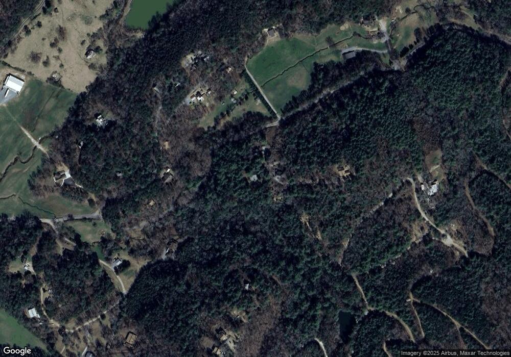
Map
Nearby Homes
- 1600 My Mountain Rd
- 105 Snowy Rd
- 419 Blue Ridge Trail
- LOT 95 The Ridges
- Lot 133 Ridges of Blue Ridge
- 91 Blue Grass Hollow
- 295 Mountain Laurel Ridge
- 866 Mountain Laurel Ridge
- 0 Mountain Laurel Ridge Unit 23906395
- 34 Mountain Lookout
- 419 Blue Ridge Trails
- 136 Mountain Meadows Cir
- 34 Smokey Ridge Ln
- Lot 44 Ridgeline Ln
- LOT 8 Murphy Ln
- LT 133 Ridges of Blue Ridge
- LOT 1 Rocking Chair Ridge
- LOT 3 Rocking Chair Ridge
- LOT 2 Rocking Chair Ridge
- 140 Tommys Trail
- 145 Tommy's Trail
- 145 Tommys Trail
- 126 Tommys Trail
- 6 AC Tommy's Trail
- 88 Nels Ridge Rd
- 566 Lowery Rd
- 235 Tommys Trail
- 128 Nels Ridge Rd
- 88 Nels Ridge Rd
- 192 Nels Ridge Rd
- 54 Nels Ridge Rd
- 772 Katydid Rd
- 258 Nels Ridge Rd
- 428 Kaytidid Rd
- 70 Frosty Mountain Rd
- 98 Frosty Mountain Rd
- 55 Frosty Mountain Rd
- 42 Nels Ridge Rd
- 42 Nel's Ridge Rd