140 W 1st St Detroit, OR 97342
Estimated Value: $236,000 - $400,000
--
Bed
--
Bath
--
Sq Ft
3,920
Sq Ft Lot
About This Home
This home is located at 140 W 1st St, Detroit, OR 97342 and is currently estimated at $322,667. 140 W 1st St is a home located in Marion County with nearby schools including Santiam Elementary School and Santiam Junior/Senior High School.
Ownership History
Date
Name
Owned For
Owner Type
Purchase Details
Closed on
Nov 18, 2024
Sold by
Yarbrough Casey Jene and Solis Castaneda Yarbrough Eloisa
Bought by
Yarbrough Casey Jene and Yarbrough Eloisa Solis
Current Estimated Value
Home Financials for this Owner
Home Financials are based on the most recent Mortgage that was taken out on this home.
Original Mortgage
$110,429
Outstanding Balance
$109,370
Interest Rate
6.32%
Mortgage Type
New Conventional
Estimated Equity
$213,297
Purchase Details
Closed on
Jun 4, 2019
Sold by
Estate Of Lawrence Allen Johnson
Bought by
Mosman Roderick William and Mosman Crystal Revnee
Create a Home Valuation Report for This Property
The Home Valuation Report is an in-depth analysis detailing your home's value as well as a comparison with similar homes in the area
Home Values in the Area
Average Home Value in this Area
Purchase History
| Date | Buyer | Sale Price | Title Company |
|---|---|---|---|
| Yarbrough Casey Jene | -- | None Listed On Document | |
| Mosman Roderick William | $51,000 | Ticor Title Company Of Or |
Source: Public Records
Mortgage History
| Date | Status | Borrower | Loan Amount |
|---|---|---|---|
| Open | Yarbrough Casey Jene | $110,429 |
Source: Public Records
Tax History Compared to Growth
Tax History
| Year | Tax Paid | Tax Assessment Tax Assessment Total Assessment is a certain percentage of the fair market value that is determined by local assessors to be the total taxable value of land and additions on the property. | Land | Improvement |
|---|---|---|---|---|
| 2024 | $186 | $12,810 | $12,810 | -- |
| 2023 | $183 | $12,440 | $12,440 | $0 |
| 2022 | $175 | $12,080 | $0 | $0 |
| 2021 | $172 | $11,730 | $0 | $0 |
| 2020 | $170 | $11,390 | $0 | $0 |
| 2019 | $162 | $11,060 | $0 | $0 |
| 2018 | $137 | $0 | $0 | $0 |
| 2017 | $133 | $0 | $0 | $0 |
| 2016 | $130 | $0 | $0 | $0 |
| 2015 | $126 | $0 | $0 | $0 |
| 2014 | $122 | $0 | $0 | $0 |
Source: Public Records
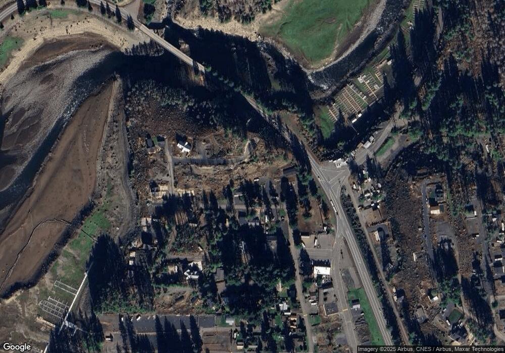
Map
Nearby Homes
- 205 N Patton Rd
- 125 S Patton Rd
- 100 & 110 Detroit Ave
- 325 Boulder St
- 315 Boulder St
- 305 Janice Ct
- 120 Detroit Ave
- 120 W Santiam Ave
- 295 Janice Ct
- 112 Santiam Ave
- 100 S St
- 210 S Detroit Rd
- 220 S Humbug St
- 135 Patton St
- 100 Detroit St S
- 360 Detroit Rd S
- 80 Lake Ave E
- 220 Hill St
- 110 Guy Moore ( Guy Moore (Parcel 1 & 2) Dr E
- 110 Guy Moore (Parcel 2) Dr E