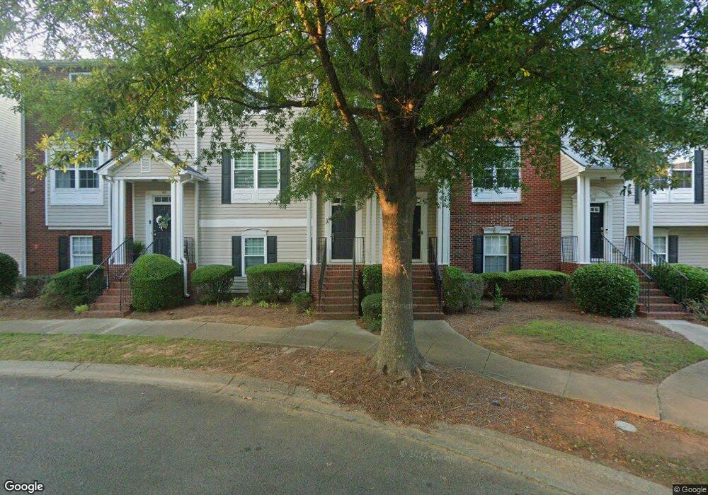
140 Weatherstone Square Dr Unit 450 Woodstock, GA 30188
Estimated Value: $339,121 - $357,000
3
Beds
3
Baths
1,724
Sq Ft
$202/Sq Ft
Est. Value
About This Home
This home is located at 140 Weatherstone Square Dr Unit 450, Woodstock, GA 30188 and is currently estimated at $348,061, approximately $201 per square foot. 140 Weatherstone Square Dr Unit 450 is a home located in Cherokee County with nearby schools including Little River Elementary, Mill Creek Middle School, and River Ridge High School.
Ownership History
Date
Name
Owned For
Owner Type
Purchase Details
Closed on
Mar 27, 2024
Sold by
Howard Robert
Bought by
Bierbaum Stephanie Trust and Bierbaum Stephanie A
Current Estimated Value
Purchase Details
Closed on
Aug 28, 2006
Sold by
Abbott Michael A
Bought by
Howard Robert
Home Financials for this Owner
Home Financials are based on the most recent Mortgage that was taken out on this home.
Original Mortgage
$151,000
Interest Rate
6.67%
Mortgage Type
New Conventional
Purchase Details
Closed on
May 30, 2003
Sold by
Colony Homes Llc
Bought by
Abbott Michael A
Home Financials for this Owner
Home Financials are based on the most recent Mortgage that was taken out on this home.
Original Mortgage
$136,850
Interest Rate
5.56%
Mortgage Type
New Conventional
Create a Home Valuation Report for This Property
The Home Valuation Report is an in-depth analysis detailing your home's value as well as a comparison with similar homes in the area
Home Values in the Area
Average Home Value in this Area
Purchase History
| Date | Buyer | Sale Price | Title Company |
|---|---|---|---|
| Bierbaum Stephanie Trust | -- | -- | |
| Howard Robert | $151,000 | -- | |
| Abbott Michael A | $144,100 | -- |
Source: Public Records
Mortgage History
| Date | Status | Borrower | Loan Amount |
|---|---|---|---|
| Previous Owner | Howard Robert | $151,000 | |
| Previous Owner | Abbott Michael A | $136,850 |
Source: Public Records
Tax History Compared to Growth
Tax History
| Year | Tax Paid | Tax Assessment Tax Assessment Total Assessment is a certain percentage of the fair market value that is determined by local assessors to be the total taxable value of land and additions on the property. | Land | Improvement |
|---|---|---|---|---|
| 2024 | $3,490 | $123,120 | $28,800 | $94,320 |
| 2023 | $3,357 | $115,800 | $27,200 | $88,600 |
| 2022 | $2,576 | $87,120 | $18,000 | $69,120 |
| 2021 | $2,015 | $80,080 | $18,000 | $62,080 |
| 2020 | $2,283 | $71,040 | $12,000 | $59,040 |
| 2019 | $1,697 | $67,480 | $12,000 | $55,480 |
| 2018 | $1,606 | $63,440 | $12,000 | $51,440 |
| 2017 | $1,471 | $144,100 | $12,000 | $45,640 |
| 2016 | $1,298 | $126,100 | $8,400 | $42,040 |
| 2015 | $1,291 | $124,300 | $8,400 | $41,320 |
| 2014 | $1,322 | $127,000 | $10,400 | $40,400 |
Source: Public Records
Map
Nearby Homes
- 138 Weatherstone Square Dr
- 142 Weatherstone Square Dr Unit 460
- 136 Weatherstone Square Dr
- 144 Weatherstone Square Dr Unit 510
- 134 Weatherstone Square Dr
- 208 Village Square Dr
- 210 Village Square Dr
- 146 Weatherstone Square Dr
- 206 Village Square Dr Unit 710
- 214 Village Square Dr Unit 820
- 214 Village Square Dr
- 212 Village Square Dr
- 212 Village Square Dr Unit 1
- 132 Weatherstone Square Dr Unit 410
- 204 Village Square Dr
- 204 Village Square Dr Unit 204
- 148 Weatherstone Square Dr
- 202 Village Square Dr Unit 620
- 216 Village Square Dr
- 150 Weatherstone Square Dr