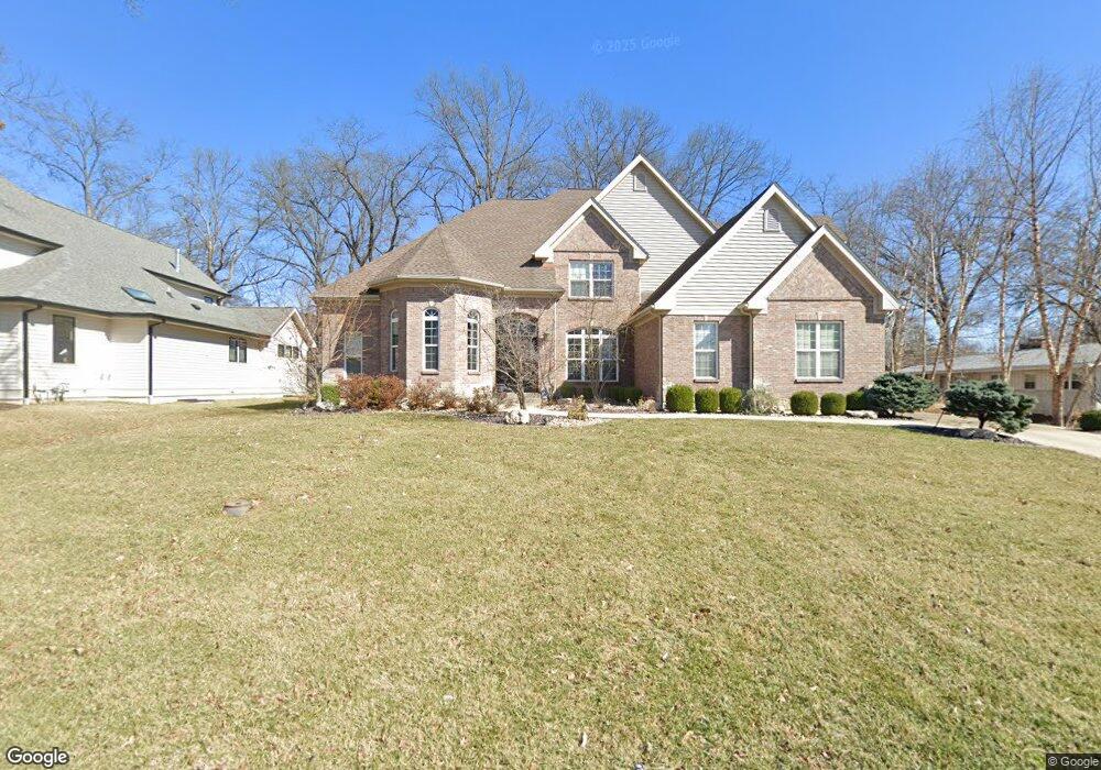
1400 Breezeridge Dr Saint Louis, MO 63131
Estimated Value: $1,679,000 - $2,305,000
5
Beds
7
Baths
4,700
Sq Ft
$404/Sq Ft
Est. Value
About This Home
This home is located at 1400 Breezeridge Dr, Saint Louis, MO 63131 and is currently estimated at $1,899,320, approximately $404 per square foot. 1400 Breezeridge Dr is a home located in St. Louis County with nearby schools including Westchester Elementary School, North Kirkwood Middle School, and Kirkwood Senior High School.
Ownership History
Date
Name
Owned For
Owner Type
Purchase Details
Closed on
Sep 13, 2012
Sold by
Kelly Andrew S and Kelly Marjorie E
Bought by
Kennedy Christopher and Kennedy Laura
Current Estimated Value
Home Financials for this Owner
Home Financials are based on the most recent Mortgage that was taken out on this home.
Original Mortgage
$417,000
Outstanding Balance
$289,226
Interest Rate
3.62%
Mortgage Type
New Conventional
Estimated Equity
$1,610,094
Purchase Details
Closed on
Oct 5, 2011
Sold by
Ranney Andre M
Bought by
Kelly Andrew S and Kelly Marjorie E
Home Financials for this Owner
Home Financials are based on the most recent Mortgage that was taken out on this home.
Original Mortgage
$30,000
Interest Rate
4.17%
Mortgage Type
Stand Alone Second
Create a Home Valuation Report for This Property
The Home Valuation Report is an in-depth analysis detailing your home's value as well as a comparison with similar homes in the area
Home Values in the Area
Average Home Value in this Area
Purchase History
| Date | Buyer | Sale Price | Title Company |
|---|---|---|---|
| Kennedy Christopher | $913,500 | Title Partners Agency Llc | |
| Kelly Andrew S | $220,000 | None Available | |
| Ranney Andre | -- | None Available |
Source: Public Records
Mortgage History
| Date | Status | Borrower | Loan Amount |
|---|---|---|---|
| Open | Kennedy Christopher | $417,000 | |
| Previous Owner | Ranney Andre | $30,000 | |
| Previous Owner | Kelly Andrew S | $220,000 |
Source: Public Records
Tax History Compared to Growth
Tax History
| Year | Tax Paid | Tax Assessment Tax Assessment Total Assessment is a certain percentage of the fair market value that is determined by local assessors to be the total taxable value of land and additions on the property. | Land | Improvement |
|---|---|---|---|---|
| 2025 | $15,019 | $293,020 | $70,320 | $222,700 |
| 2024 | $15,019 | $260,320 | $52,500 | $207,820 |
| 2023 | $14,786 | $260,320 | $52,500 | $207,820 |
| 2022 | $14,022 | $230,110 | $52,500 | $177,610 |
| 2021 | $12,090 | $200,510 | $52,500 | $148,010 |
| 2020 | $12,245 | $195,260 | $48,450 | $146,810 |
| 2019 | $12,261 | $195,260 | $48,450 | $146,810 |
| 2018 | $11,097 | $158,540 | $27,230 | $131,310 |
| 2017 | $11,127 | $158,540 | $27,230 | $131,310 |
| 2016 | $11,345 | $163,750 | $23,430 | $140,320 |
| 2015 | $11,359 | $163,750 | $23,430 | $140,320 |
| 2014 | $11,631 | $163,890 | $10,600 | $153,290 |
Source: Public Records
Map
Nearby Homes
- 1345 Woodgate Dr
- 811 Cherry St
- 1126 Bopp Rd
- 723 Oak Valley Dr
- 1728 Folkstone Dr
- 8 Briarbrook Trail
- 1741 Pine Hill Dr
- 11358 Manchester Rd
- 1090 Kinstern Dr
- 1001 Dovergate Dr
- 1029 Kinstern Dr
- 11909 Lillian Ave
- 11913 Lillian Ave
- 1120 Simmons Ave
- 12006 Montour Dr
- 936 Poinsetta Ln
- 1137 N Harrison Ave
- 1133 N Harrison Ave
- 966 N Geyer Rd
- 976 Cleveland Ave
- 1326 Breezeridge Dr
- 1408 Breezeridge Dr
- 1401 Breezeridge Dr
- 1421 Woodgate Dr
- 1417 Woodgate Dr
- 1416 Breezeridge Dr
- 1427 Woodgate Dr
- 1411 Woodgate Dr
- 1431 Woodgate Dr
- 1415 Breezeridge Dr
- 1405 Woodgate Dr
- 1437 Woodgate Dr
- 11711 Middleview Dr
- 1424 Breezeridge Dr
- 1423 Breezeridge Dr
- 11712 Middleview Dr
- 1359 Woodgate Dr
- 11701 Brookbend Dr
- 1445 Woodgate Dr
- 1304 Breezeridge Dr