1400 Brookhaven Way Plover, WI 54467
Estimated Value: $471,000 - $542,000
4
Beds
--
Bath
3,110
Sq Ft
$160/Sq Ft
Est. Value
About This Home
This home is located at 1400 Brookhaven Way, Plover, WI 54467 and is currently estimated at $497,697, approximately $160 per square foot. 1400 Brookhaven Way is a home located in Portage County with nearby schools including Plover-Whiting Elementary School, Benjamin Franklin Junior High School, and Stevens Point Area Senior High School.
Ownership History
Date
Name
Owned For
Owner Type
Purchase Details
Closed on
Oct 13, 2022
Sold by
Hainzlsperger Jacob R and Hainzlsperger Shannon R
Bought by
Vang Deng and Yang Cindy Kia
Current Estimated Value
Home Financials for this Owner
Home Financials are based on the most recent Mortgage that was taken out on this home.
Original Mortgage
$364,000
Outstanding Balance
$349,327
Interest Rate
5.66%
Mortgage Type
New Conventional
Estimated Equity
$148,370
Purchase Details
Closed on
Mar 27, 2013
Sold by
Hainzlsperger Jacob R Jacob R
Bought by
Ziaja Rebecca
Create a Home Valuation Report for This Property
The Home Valuation Report is an in-depth analysis detailing your home's value as well as a comparison with similar homes in the area
Home Values in the Area
Average Home Value in this Area
Purchase History
| Date | Buyer | Sale Price | Title Company |
|---|---|---|---|
| Vang Deng | $455,000 | Knight Barry Title | |
| Ziaja Rebecca | $217,500 | -- |
Source: Public Records
Mortgage History
| Date | Status | Borrower | Loan Amount |
|---|---|---|---|
| Open | Vang Deng | $364,000 |
Source: Public Records
Tax History Compared to Growth
Tax History
| Year | Tax Paid | Tax Assessment Tax Assessment Total Assessment is a certain percentage of the fair market value that is determined by local assessors to be the total taxable value of land and additions on the property. | Land | Improvement |
|---|---|---|---|---|
| 2024 | $6,180 | $356,700 | $44,800 | $311,900 |
| 2023 | $5,953 | $356,700 | $44,800 | $311,900 |
| 2022 | $5,850 | $356,700 | $44,800 | $311,900 |
| 2021 | $5,448 | $227,000 | $35,000 | $192,000 |
| 2020 | $5,517 | $227,000 | $35,000 | $192,000 |
| 2019 | $5,348 | $227,000 | $35,000 | $192,000 |
| 2018 | $4,924 | $222,400 | $35,000 | $187,400 |
| 2017 | $4,475 | $222,400 | $35,000 | $187,400 |
| 2016 | $4,416 | $222,400 | $35,000 | $187,400 |
| 2015 | $4,486 | $222,400 | $35,000 | $187,400 |
| 2014 | $4,412 | $222,400 | $35,000 | $187,400 |
Source: Public Records
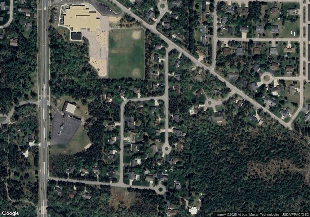
Map
Nearby Homes
- 1500 Brookshire Dr
- 1950 Norway Pine Dr
- 1011 Melody Ln
- 1020 Victorian Ln
- 1441 Mulberry Dr
- 4040 Lindstrom Ln
- 2201 W Breezewood Ct
- 1710 Kevins Dr
- 2331 Hickory Dr
- 2330 Court St
- 2410 Springville Dr
- 66.81 Acres Porter Rd
- 2050 E Breezewood Ct
- 1030 Woodland Ct
- 2140 Shadowview Cir
- 5499 Porter Dr
- 2311 Maplewood Dr
- 2031 Washington Ave
- 2130 Buckingham Dr
- 4240 County Road R
- 1401 Brookshire Dr
- 1411 Brookshire Dr
- 1421 Brookshire Dr
- 1431 Brookshire Dr
- 1421 Brookhaven Way
- 1431 Brookhaven Way
- 1531 Brookhaven Way
- 1541 Brookhaven Way
- 1910 Brookridge Dr
- 1920 Brookridge Dr
- 1941 Brookridge Dr
- 1931 Brookridge Dr
- 1921 Brookridge Dr
- 1811 Brookridge Dr
- 1800 Brookridge Dr
- 1810 Brookridge Dr
- 1820 Brookridge Dr
- 1530 Brookhaven Way
- 1420 Brookhaven Way
- 1511 Brookshire Dr