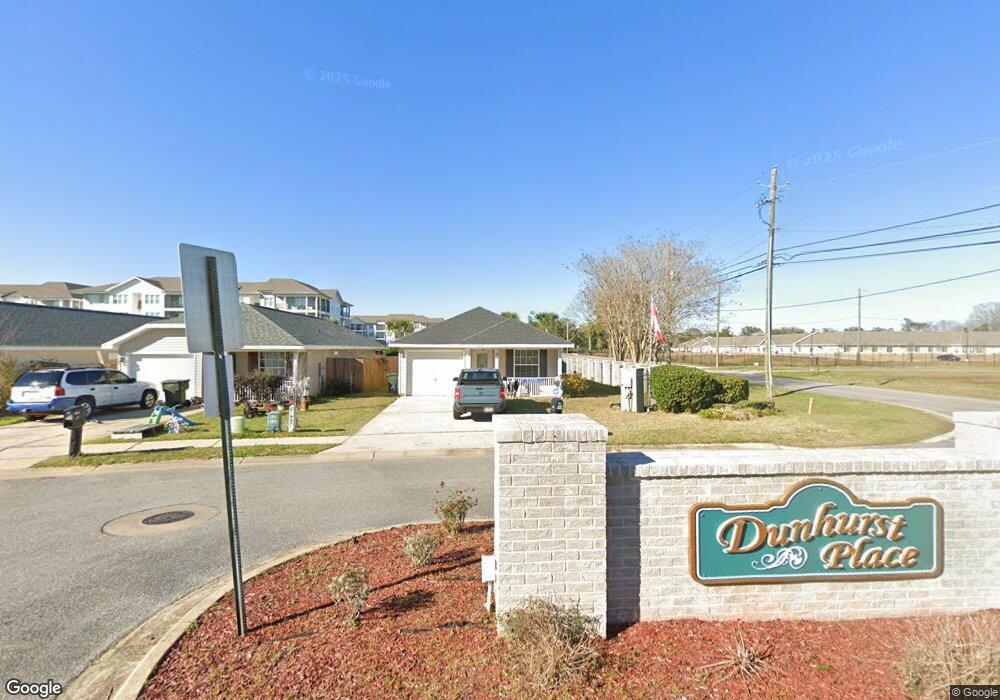
1400 Dunhurst Dr Pensacola, FL 32534
Estimated Value: $210,000 - $239,000
--
Bed
2
Baths
1,257
Sq Ft
$174/Sq Ft
Est. Value
About This Home
This home is located at 1400 Dunhurst Dr, Pensacola, FL 32534 and is currently estimated at $219,173, approximately $174 per square foot. 1400 Dunhurst Dr is a home located in Escambia County with nearby schools including Lincoln Park Elementary School, Beulah Middle School, and J.M. Tate Senior High School.
Ownership History
Date
Name
Owned For
Owner Type
Purchase Details
Closed on
May 19, 2021
Sold by
Waters Joyce Maxine
Bought by
Waters Joyce Maxine
Current Estimated Value
Home Financials for this Owner
Home Financials are based on the most recent Mortgage that was taken out on this home.
Original Mortgage
$169,000
Outstanding Balance
$153,156
Interest Rate
3.1%
Mortgage Type
VA
Estimated Equity
$66,017
Purchase Details
Closed on
Apr 30, 2021
Sold by
Waters Joyce Maxine and Estate Of Andrew W Anderson
Bought by
Camp Rickey J
Home Financials for this Owner
Home Financials are based on the most recent Mortgage that was taken out on this home.
Original Mortgage
$169,000
Outstanding Balance
$153,156
Interest Rate
3.1%
Mortgage Type
VA
Estimated Equity
$66,017
Purchase Details
Closed on
Apr 27, 2006
Sold by
The Mitchell Co Inc
Bought by
Anderson Andrew W and Anderson Donna Fay
Create a Home Valuation Report for This Property
The Home Valuation Report is an in-depth analysis detailing your home's value as well as a comparison with similar homes in the area
Home Values in the Area
Average Home Value in this Area
Purchase History
| Date | Buyer | Sale Price | Title Company |
|---|---|---|---|
| Waters Joyce Maxine | -- | -- | |
| Camp Rickey J | $169,000 | Surety Land Title Of Fl Llc | |
| Anderson Andrew W | $145,500 | -- |
Source: Public Records
Mortgage History
| Date | Status | Borrower | Loan Amount |
|---|---|---|---|
| Open | Camp Rickey J | $169,000 |
Source: Public Records
Tax History Compared to Growth
Tax History
| Year | Tax Paid | Tax Assessment Tax Assessment Total Assessment is a certain percentage of the fair market value that is determined by local assessors to be the total taxable value of land and additions on the property. | Land | Improvement |
|---|---|---|---|---|
| 2024 | $125 | $161,277 | -- | -- |
| 2023 | $125 | $156,580 | $0 | $0 |
| 2022 | $125 | $152,020 | $15,000 | $137,020 |
| 2021 | $1,844 | $124,124 | $0 | $0 |
| 2020 | $750 | $90,497 | $0 | $0 |
| 2019 | $729 | $88,463 | $0 | $0 |
| 2018 | $722 | $86,814 | $0 | $0 |
| 2017 | $714 | $85,029 | $0 | $0 |
| 2016 | $702 | $83,281 | $0 | $0 |
| 2015 | $681 | $82,703 | $0 | $0 |
| 2014 | $667 | $82,047 | $0 | $0 |
Source: Public Records
Map
Nearby Homes
- 8964 Abbington Dr
- 1433 Claridge Place
- 1518 Farragut Way
- 8920 Brigade Trail
- 8916 Brigade Trail
- 9200 Bowman Ave
- 8907 Abbington Dr
- 8913 Brigade Trail
- 1463 Keylan Cove
- 1412 Croquet Dr
- 1904 Mary Jo Way
- 1830 Mary Jo Way
- 1403 Twilight Dr
- 1422 Starlight Dr
- 1755 Mary Jo Way
- 1783 Mary Jo Way
- 1760 Paisleigh Dr
- 1772 Paisleigh Dr
- 1921 Larkspur Cir
- 116 Mt Pilot St
- 1404 Dunhurst Dr
- 1412 Dunhurst Dr
- 0000 Ashland Ave
- 00 Ashland Ave
- S Ashland Ave
- 0 Ashland Ave Unit 586797
- 0 Ashland Ave Unit 594611
- 0 Ashland Ave Unit 607625
- 0 Ashland Ave Unit 611950
- 0 Ashland Ave Unit 358898
- 0 Ashland Ave Unit 361393
- 0 Ashland Ave Unit 374122
- 0 Ashland Ave Unit 393566
- 0 Ashland Ave Unit 401925
- 0 Ashland Ave Unit 421968
- 0 Ashland Ave Unit 451766
- 0 Ashland Ave Unit 473822
- 0 Ashland Ave Unit 501671
- 0 Ashland Ave Unit 504186
- 0 Ashland Ave Unit 514020