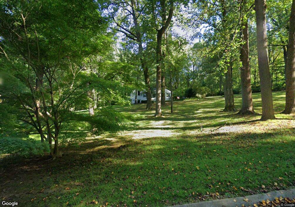
1400 Highview Dr Lutherville Timonium, MD 21093
Falls Road Corridor NeighborhoodEstimated Value: $874,275 - $1,278,000
--
Bed
4
Baths
3,427
Sq Ft
$289/Sq Ft
Est. Value
About This Home
This home is located at 1400 Highview Dr, Lutherville Timonium, MD 21093 and is currently estimated at $991,569, approximately $289 per square foot. 1400 Highview Dr is a home located in Baltimore County with nearby schools including Fort Garrison Elementary School, Pikesville Middle School, and Pikesville High School.
Ownership History
Date
Name
Owned For
Owner Type
Purchase Details
Closed on
May 11, 2004
Sold by
Brooks Fionnuala M
Bought by
Ferguson Robert P and Ferguson Diane M
Current Estimated Value
Purchase Details
Closed on
Mar 31, 2004
Sold by
Brooks Fionnuala M
Bought by
Ferguson Robert P and Ferguson Diane M
Purchase Details
Closed on
Dec 7, 2001
Sold by
Davis Dudley G
Bought by
Brooks Fionnuala M and Fox Jane C
Purchase Details
Closed on
Apr 7, 1998
Sold by
Davis Dudley G
Bought by
Davis Dudley G
Create a Home Valuation Report for This Property
The Home Valuation Report is an in-depth analysis detailing your home's value as well as a comparison with similar homes in the area
Home Values in the Area
Average Home Value in this Area
Purchase History
| Date | Buyer | Sale Price | Title Company |
|---|---|---|---|
| Ferguson Robert P | $495,000 | -- | |
| Ferguson Robert P | $495,000 | -- | |
| Ferguson Robert P | $495,000 | -- | |
| Ferguson Robert P | $495,000 | -- | |
| Brooks Fionnuala M | $361,000 | -- | |
| Davis Dudley G | -- | -- |
Source: Public Records
Tax History Compared to Growth
Tax History
| Year | Tax Paid | Tax Assessment Tax Assessment Total Assessment is a certain percentage of the fair market value that is determined by local assessors to be the total taxable value of land and additions on the property. | Land | Improvement |
|---|---|---|---|---|
| 2025 | $7,387 | $644,900 | $234,000 | $410,900 |
| 2024 | $7,387 | $616,800 | $0 | $0 |
| 2023 | $3,566 | $588,700 | $0 | $0 |
| 2022 | $6,793 | $560,600 | $234,000 | $326,600 |
| 2021 | $6,550 | $548,033 | $0 | $0 |
| 2020 | $6,550 | $535,467 | $0 | $0 |
| 2019 | $6,398 | $522,900 | $234,000 | $288,900 |
| 2018 | $6,355 | $519,367 | $0 | $0 |
| 2017 | $3,156 | $515,833 | $0 | $0 |
| 2016 | $6,071 | $512,300 | $0 | $0 |
| 2015 | $6,071 | $512,300 | $0 | $0 |
| 2014 | $6,071 | $512,300 | $0 | $0 |
Source: Public Records
Map
Nearby Homes
- 1208 Scotts Knoll Ct
- 1134 Castanea Ct
- 1718 Greenspring Valley Rd
- 11615 Woodland Dr
- 11704 Woodland Dr
- 0 Kelley Ave
- 11512 Greenspring Ave
- 13 Dipping Pond Ct
- 11812 Meylston Dr
- 2307 Shaded Brook Dr
- 10606 Candlewick Rd
- 2318 Shaded Brook Dr
- 11006 Valley Heights Dr
- LAND Keller Ave
- 13 Sugarvale Way
- 4 Nearfield Rd
- 11713 Greenspring Ave
- 933 Hillside Rd
- 933 Hillside Rd
- 1011 Coachford Ct
- 1402 Highview Dr
- 11101 Greenspring Ave
- 1403 Highview Dr
- 1 Barstad Ct
- 1 Barstad Ct Unit 2
- 11076 Greenspring Ave
- 11105 Greenspring Ave
- 11100 Greenspring Ave
- 1407 Highview Dr
- 2 Barstad Ct
- 3 Barstad Ct
- 0 Greenspring Ave
- 11102 Greenspring Ave
- 1 Candlestick Dr
- 11109 Greenspring Ave
- 1411 Highview Dr
- 4 Barstad Ct
- 11104 Greenspring Ave
- 11055 Greenspring Ave
- 11106 Greenspring Ave