1400 N McDonel St Lima, OH 45801
Northside Lima NeighborhoodEstimated Value: $78,196 - $122,000
2
Beds
1
Bath
816
Sq Ft
$133/Sq Ft
Est. Value
About This Home
This home is located at 1400 N McDonel St, Lima, OH 45801 and is currently estimated at $108,549, approximately $133 per square foot. 1400 N McDonel St is a home located in Allen County with nearby schools including Independence Elementary School, Lima North Middle School, and Lima West Middle School.
Ownership History
Date
Name
Owned For
Owner Type
Purchase Details
Closed on
Oct 7, 1999
Sold by
Jordan Ottis
Bought by
Carnes Betty
Current Estimated Value
Home Financials for this Owner
Home Financials are based on the most recent Mortgage that was taken out on this home.
Original Mortgage
$36,000
Outstanding Balance
$10,870
Interest Rate
7.83%
Mortgage Type
New Conventional
Estimated Equity
$97,679
Purchase Details
Closed on
Apr 1, 1980
Bought by
Jordan Ottis L
Create a Home Valuation Report for This Property
The Home Valuation Report is an in-depth analysis detailing your home's value as well as a comparison with similar homes in the area
Home Values in the Area
Average Home Value in this Area
Purchase History
We collect this data history from publicly available records. To have your information removed, we recommend requesting removal directly through your county’s website.
| Date | Buyer | Sale Price | Title Company |
|---|---|---|---|
| Carnes Betty | $40,000 | -- | |
| Jordan Ottis L | $15,000 | -- |
Source: Public Records
Mortgage History
We collect this data history from publicly available records. To have your information removed, we recommend requesting removal directly through your county’s website.
| Date | Status | Borrower | Loan Amount |
|---|---|---|---|
| Open | Carnes Betty | $36,000 |
Source: Public Records
Tax History
| Year | Tax Paid | Tax Assessment Tax Assessment Total Assessment is a certain percentage of the fair market value that is determined by local assessors to be the total taxable value of land and additions on the property. | Land | Improvement |
|---|---|---|---|---|
| 2024 | $512 | $22,610 | $5,040 | $17,570 |
| 2023 | $375 | $16,630 | $3,710 | $12,920 |
| 2022 | $727 | $16,630 | $3,710 | $12,920 |
| 2021 | $769 | $16,630 | $3,710 | $12,920 |
| 2020 | $756 | $14,490 | $3,570 | $10,920 |
| 2019 | $756 | $14,490 | $3,570 | $10,920 |
| 2018 | $753 | $14,490 | $3,570 | $10,920 |
| 2017 | $759 | $14,490 | $3,570 | $10,920 |
| 2016 | $767 | $14,490 | $3,570 | $10,920 |
| 2015 | $751 | $14,490 | $3,570 | $10,920 |
| 2014 | $751 | $14,070 | $3,430 | $10,640 |
| 2013 | $731 | $14,070 | $3,430 | $10,640 |
Source: Public Records
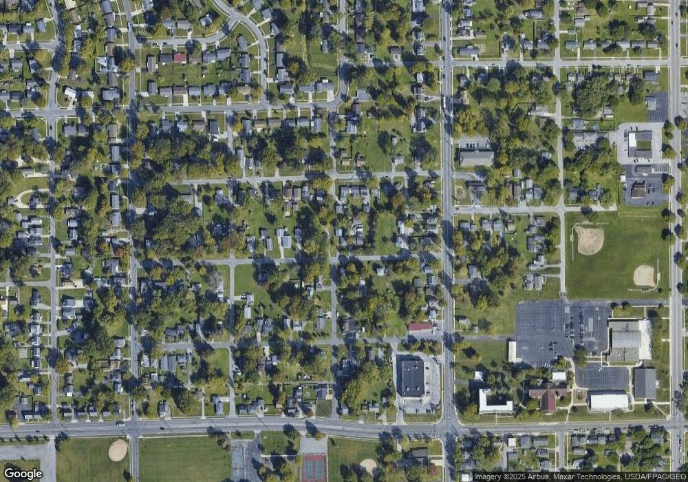
Map
Nearby Homes
- 426 Ertel Ave
- 207 W Lane Ave
- 1809 N Metcalf St
- 417 W Northern Ave
- 1609 Karen St
- 716 Ruth Ave
- 1200 N Main St
- 408 Runyan Ave
- 613 Meadowbrook Dr
- 1705 Karen St
- 429 Lewis Blvd
- 576 W Ashton Ave
- 557 W Ashton Ave
- 2104 Virginia Ave
- 1021 N McDonel St
- 136 E O'Connor Ave
- 928 Burch Ave
- 1907 N Elizabeth St
- 923 Burch Ave
- 108 E Edwards St
- 400 Ashwood Ave
- 330 Ashwood Ave
- 406 Ashwood Ave
- 359 Ertel Ave
- 351 Ertel Ave
- 401 Ertel Ave
- 341 Ertel Ave
- 341 Ertel Ave
- 411 Ertel Ave
- 399 Ashwood Ave
- 320 Ashwood Ave
- 339 Ertel Ave
- 327 Ashwood Ave
- 416 Ashwood Ave
- 1303 N McDonel St
- 413 Ertel Ave
- 325 Ashwood Ave
- 315 Ertel Ave
- 405 Ashwood Ave
- 417 Ertel Ave
Your Personal Tour Guide
Ask me questions while you tour the home.