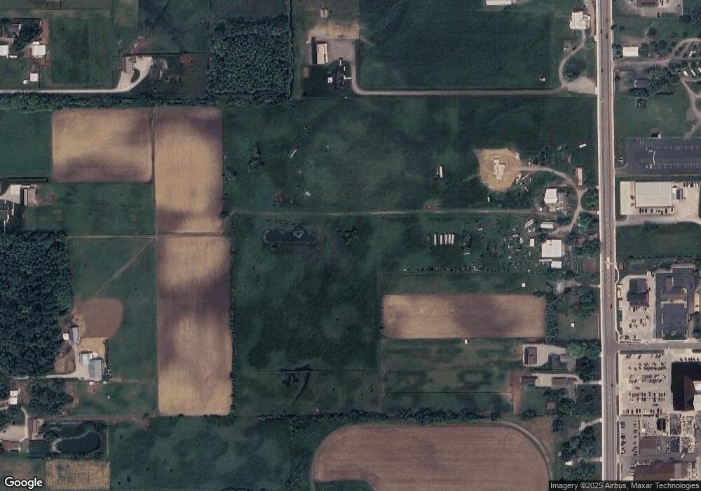
1400 N State Road 5 Shipshewana, IN 46565
Estimated Value: $511,000 - $803,000
5
Beds
1
Bath
2,296
Sq Ft
$291/Sq Ft
Est. Value
About This Home
This home is located at 1400 N State Road 5, Shipshewana, IN 46565 and is currently estimated at $669,059, approximately $291 per square foot. 1400 N State Road 5 is a home located in LaGrange County with nearby schools including Meadowview Elementary School, Westview Elementary School, and Westview Junior/Senior High School.
Ownership History
Date
Name
Owned For
Owner Type
Purchase Details
Closed on
Jun 11, 2025
Sold by
Floyd W Knepp W and Floyd Ruby E
Bought by
Floyd W Knepp And Ruby E Knepp Joint Revocabl and Knepp
Current Estimated Value
Purchase Details
Closed on
Jun 7, 2021
Sold by
Knepp John J - Trustee Of The John J Knepp Fa
Bought by
Knepp Floyd W
Home Financials for this Owner
Home Financials are based on the most recent Mortgage that was taken out on this home.
Interest Rate
2.99%
Create a Home Valuation Report for This Property
The Home Valuation Report is an in-depth analysis detailing your home's value as well as a comparison with similar homes in the area
Home Values in the Area
Average Home Value in this Area
Purchase History
| Date | Buyer | Sale Price | Title Company |
|---|---|---|---|
| Floyd W Knepp And Ruby E Knepp Joint Revocabl | -- | None Listed On Document | |
| Knepp Floyd W | $100,000 | -- |
Source: Public Records
Mortgage History
| Date | Status | Borrower | Loan Amount |
|---|---|---|---|
| Previous Owner | Knepp Floyd W | -- |
Source: Public Records
Tax History Compared to Growth
Tax History
| Year | Tax Paid | Tax Assessment Tax Assessment Total Assessment is a certain percentage of the fair market value that is determined by local assessors to be the total taxable value of land and additions on the property. | Land | Improvement |
|---|---|---|---|---|
| 2024 | $4,081 | $524,500 | $147,800 | $376,700 |
| 2023 | $4,351 | $484,900 | $130,100 | $354,800 |
| 2022 | $3,920 | $439,100 | $107,200 | $331,900 |
| 2021 | $3,549 | $390,800 | $96,300 | $294,500 |
| 2020 | $4,087 | $390,300 | $94,900 | $295,400 |
| 2019 | $4,192 | $396,500 | $107,000 | $289,500 |
| 2018 | $4,033 | $375,400 | $108,800 | $266,600 |
| 2017 | $4,149 | $379,900 | $122,000 | $257,900 |
| 2016 | $3,353 | $336,600 | $126,900 | $209,700 |
| 2014 | $2,695 | $307,500 | $121,300 | $186,200 |
| 2013 | $2,695 | $297,700 | $109,600 | $188,100 |
Source: Public Records
Map
Nearby Homes
- 1223 Park Way
- 1235 Southbrooke Dr
- 365 Country Ln
- 3820 N 760 W
- 9155 W 360 N
- 3295 N 980 W
- 3360 N 980 W
- 4950 W 100 N
- 5980 N 1080 W
- 52690 Rachael Ct
- 53982 Midnight Star
- 11306 Fishers Pond
- 0 Brittany Ct Unit 202535246
- 0 Brittany Ct Unit 202535245
- 306 Dawn Estates Dr
- 525 S Main St
- 5275 N 290 W
- 10235 W 750 N
- 12454 Stoney Dr
- 7185 N 1150 W
- 1340 N State Road 5
- 1290 N State Road 5
- 12 Berkshire Dr
- 13 Berkshire Dr Unit 13
- 1 Berkshire Dr
- 1270 N State Road 5
- 1230 N State Road 5
- 1205 N State Road 5
- 1210 N State Road 5
- 1180 N State Road 5
- 1605 N State Road 5
- 1165 N State Road 5
- 1325 N State Road 5 St
- 0 Berkshire Dr Unit 503002
- 0 Berkshire Dr Unit 503001
- 975 S Van Buren St
- 975 S Van Buren St
- 1105 N State Road 5
- 475 Berkshire Dr
- 785 E North Village Dr