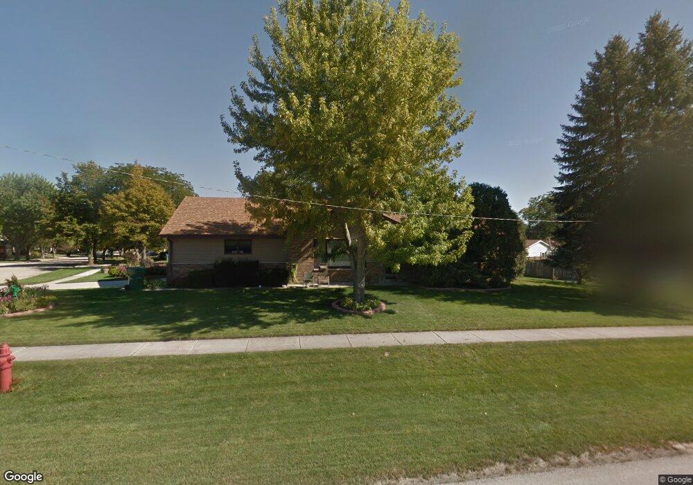
1400 S 1st St Dekalb, IL 60115
Estimated Value: $230,000 - $240,552
--
Bed
--
Bath
--
Sq Ft
0.29
Acres
About This Home
This home is located at 1400 S 1st St, Dekalb, IL 60115 and is currently estimated at $234,888. 1400 S 1st St is a home located in DeKalb County with nearby schools including Lincoln Elementary School, Huntley Middle School, and De Kalb High School.
Ownership History
Date
Name
Owned For
Owner Type
Purchase Details
Closed on
Apr 15, 2025
Sold by
Lundberg Charles T
Bought by
Roberts John Chester and Roberts Katherine Rose
Current Estimated Value
Home Financials for this Owner
Home Financials are based on the most recent Mortgage that was taken out on this home.
Original Mortgage
$145,000
Outstanding Balance
$142,480
Interest Rate
5.99%
Mortgage Type
New Conventional
Estimated Equity
$92,408
Create a Home Valuation Report for This Property
The Home Valuation Report is an in-depth analysis detailing your home's value as well as a comparison with similar homes in the area
Home Values in the Area
Average Home Value in this Area
Purchase History
| Date | Buyer | Sale Price | Title Company |
|---|---|---|---|
| Roberts John Chester | $225,000 | None Listed On Document |
Source: Public Records
Mortgage History
| Date | Status | Borrower | Loan Amount |
|---|---|---|---|
| Open | Roberts John Chester | $145,000 |
Source: Public Records
Tax History Compared to Growth
Tax History
| Year | Tax Paid | Tax Assessment Tax Assessment Total Assessment is a certain percentage of the fair market value that is determined by local assessors to be the total taxable value of land and additions on the property. | Land | Improvement |
|---|---|---|---|---|
| 2024 | $4,668 | $69,493 | $11,412 | $58,081 |
| 2023 | $4,668 | $60,592 | $9,950 | $50,642 |
| 2022 | $4,479 | $55,320 | $11,355 | $43,965 |
| 2021 | $4,524 | $51,885 | $10,650 | $41,235 |
| 2020 | $4,606 | $51,058 | $10,480 | $40,578 |
| 2019 | $4,465 | $49,052 | $10,068 | $38,984 |
| 2018 | $4,316 | $47,389 | $9,727 | $37,662 |
| 2017 | $4,304 | $45,553 | $9,350 | $36,203 |
| 2016 | $4,221 | $44,403 | $9,114 | $35,289 |
| 2015 | -- | $42,073 | $8,636 | $33,437 |
| 2014 | -- | $41,606 | $12,495 | $29,111 |
| 2013 | -- | $43,704 | $13,125 | $30,579 |
Source: Public Records
Map
Nearby Homes
- 111 Salem Dr
- 216 Pardridge Place
- 1232 Bellevue Dr Unit 1
- 129 Devonshire Dr
- 1177 Golf Ct
- 411 Gayle Ave
- 1015 Ashley Dr Unit 15
- 910 Dawn Ct
- 754 Haish Blvd
- 1151 Mary Ct
- 847 S 1st St
- 615 Best Ave
- 1146 Quail Run
- 752 Kensington Blvd
- 1143 Quail Run
- 715 Ellwood Ave
- 617 E Fairview Dr
- 945 S 7th St
- TBD 8.67 Acres Fairview Dr
- 1017 S 9th St