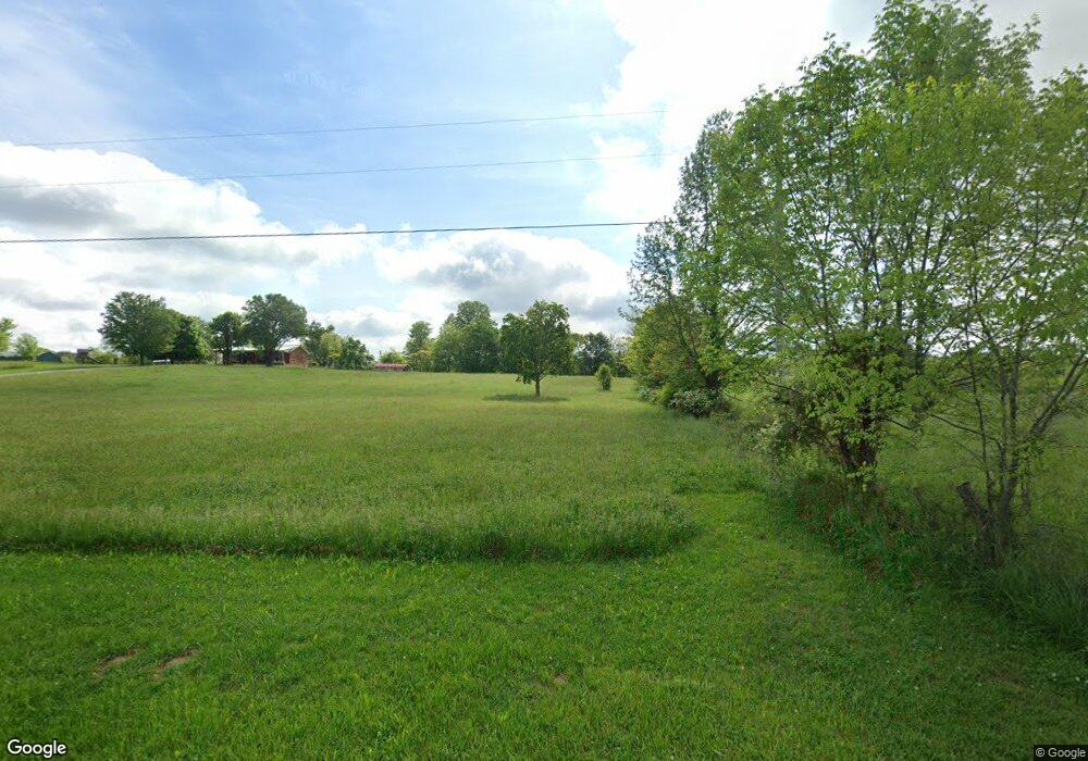
1400 Social Band Rd Campbellsville, KY 42718
Estimated Value: $165,000 - $267,991
3
Beds
2
Baths
1,288
Sq Ft
$170/Sq Ft
Est. Value
About This Home
This home is located at 1400 Social Band Rd, Campbellsville, KY 42718 and is currently estimated at $218,330, approximately $169 per square foot. 1400 Social Band Rd is a home located in Taylor County with nearby schools including Taylor County Elementary School, Taylor County Middle School, and Taylor County High School.
Ownership History
Date
Name
Owned For
Owner Type
Purchase Details
Closed on
Feb 28, 2013
Sold by
Parrish Mozelle and Parrish Douglas
Bought by
Cash Gary Dean and Cash James Matthew
Current Estimated Value
Home Financials for this Owner
Home Financials are based on the most recent Mortgage that was taken out on this home.
Original Mortgage
$130,000
Outstanding Balance
$24,011
Interest Rate
2.83%
Mortgage Type
Future Advance Clause Open End Mortgage
Estimated Equity
$194,319
Create a Home Valuation Report for This Property
The Home Valuation Report is an in-depth analysis detailing your home's value as well as a comparison with similar homes in the area
Home Values in the Area
Average Home Value in this Area
Purchase History
| Date | Buyer | Sale Price | Title Company |
|---|---|---|---|
| Cash Gary Dean | $20,000 | None Available |
Source: Public Records
Mortgage History
| Date | Status | Borrower | Loan Amount |
|---|---|---|---|
| Open | Cash Gary Dean | $130,000 |
Source: Public Records
Tax History Compared to Growth
Tax History
| Year | Tax Paid | Tax Assessment Tax Assessment Total Assessment is a certain percentage of the fair market value that is determined by local assessors to be the total taxable value of land and additions on the property. | Land | Improvement |
|---|---|---|---|---|
| 2025 | $935 | $145,550 | $0 | $0 |
| 2024 | $974 | $145,550 | $0 | $0 |
| 2023 | $750 | $120,050 | $0 | $0 |
| 2022 | $822 | $120,050 | $0 | $0 |
| 2021 | $819 | $120,050 | $0 | $0 |
| 2020 | $853 | $120,400 | $0 | $0 |
| 2019 | $750 | $110,400 | $0 | $0 |
| 2018 | $754 | $110,400 | $0 | $0 |
| 2017 | $738 | $110,400 | $0 | $0 |
| 2016 | $727 | $110,400 | $0 | $0 |
| 2015 | $724 | $110,400 | $0 | $0 |
| 2014 | $1,063 | $180,400 | $0 | $0 |
| 2012 | -- | $228,500 | $0 | $0 |
Source: Public Records
Map
Nearby Homes
- 428 Social Band Rd
- 9888 Hodgenville Rd
- 1123 Mount Carmel Church Rd
- 0 Fuller Harding Rd Unit Parcel O
- 863 Fuller Harding Rd Unit Parcel P
- 778 Sprowles Ridge Rd
- 0 Sprowles Ridge Rd
- 366 William Hash Rd
- 3337 Chaney Pike
- Tract 7 Attilla Rd
- 354 Pleasant Valley Rd
- 420 Pleasant Valley Rd
- TRACT 4 Price Hill Spur Rd
- TRACT 3 Price Hill Spur Rd
- 1820 Attilla Rd
- 0 Big Brush Creek Rd
- 923 Price Hill Spur Rd
- 9701 Saloma Rd
- 4604 Summersville Rd
- 39 Pickerell Rd
- 1160 Social Band Rd
- 918 Social Band Rd
- 828 Cr-1398
- 1508 Social Band Rd
- 910 Social Band Rd
- 249 Bentley Rd
- 480 David Bell Rd
- 126 Wagon Wheel Trail
- 747 Bentley Rd
- 246 Social Band Rd
- 335 Social Band Rd
- 373 Social Band Rd
- 1840 Social Band Rd
- 11024 Hodgenville Rd
- 11528 Hodgenville Rd
- 10786 Hodgenville Rd
- 11772 Hodgenville Rd
- 11520 Hodgenville Rd
- 11870 Hodgenville Rd
- 12038 Hodgenville Rd
