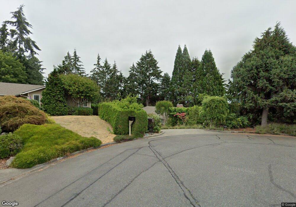
1400 Weathervane Dr Fircrest, WA 98466
Estimated Value: $756,013 - $896,000
4
Beds
3
Baths
1,852
Sq Ft
$453/Sq Ft
Est. Value
About This Home
This home is located at 1400 Weathervane Dr, Fircrest, WA 98466 and is currently estimated at $838,253, approximately $452 per square foot. 1400 Weathervane Dr is a home located in Pierce County with nearby schools including Whittier Elementary School, Wainwright Intermediate School, and Foss High School.
Ownership History
Date
Name
Owned For
Owner Type
Purchase Details
Closed on
Feb 19, 2008
Sold by
Robinson Clara E
Bought by
Speir Tiffany L
Current Estimated Value
Home Financials for this Owner
Home Financials are based on the most recent Mortgage that was taken out on this home.
Original Mortgage
$350,175
Outstanding Balance
$215,095
Interest Rate
5.65%
Mortgage Type
FHA
Estimated Equity
$623,158
Purchase Details
Closed on
Apr 28, 1999
Sold by
Backstein Robert J
Bought by
Speir Tiffany L and Robinson Clara E
Home Financials for this Owner
Home Financials are based on the most recent Mortgage that was taken out on this home.
Original Mortgage
$130,000
Interest Rate
6.98%
Create a Home Valuation Report for This Property
The Home Valuation Report is an in-depth analysis detailing your home's value as well as a comparison with similar homes in the area
Home Values in the Area
Average Home Value in this Area
Purchase History
| Date | Buyer | Sale Price | Title Company |
|---|---|---|---|
| Speir Tiffany L | $130,634 | Chicago | |
| Speir Tiffany L | $217,555 | -- |
Source: Public Records
Mortgage History
| Date | Status | Borrower | Loan Amount |
|---|---|---|---|
| Open | Speir Tiffany L | $350,175 | |
| Previous Owner | Speir Tiffany L | $130,000 |
Source: Public Records
Tax History Compared to Growth
Tax History
| Year | Tax Paid | Tax Assessment Tax Assessment Total Assessment is a certain percentage of the fair market value that is determined by local assessors to be the total taxable value of land and additions on the property. | Land | Improvement |
|---|---|---|---|---|
| 2025 | $7,043 | $761,400 | $348,600 | $412,800 |
| 2024 | $7,043 | $749,000 | $328,100 | $420,900 |
| 2023 | $7,043 | $738,800 | $330,500 | $408,300 |
| 2022 | $6,892 | $737,000 | $339,800 | $397,200 |
| 2021 | $6,599 | $568,500 | $239,000 | $329,500 |
| 2019 | $5,291 | $528,300 | $204,600 | $323,700 |
| 2018 | $5,853 | $491,600 | $177,700 | $313,900 |
| 2017 | $5,334 | $440,700 | $144,200 | $296,500 |
| 2016 | $5,010 | $352,700 | $104,800 | $247,900 |
| 2014 | $4,456 | $339,100 | $100,600 | $238,500 |
| 2013 | $4,456 | $300,900 | $90,500 | $210,400 |
Source: Public Records
Map
Nearby Homes
- 4003 Flora Dr
- 4221 67th Ave W Unit A
- 1322 W Mount Dr
- 4311 67th Ave W Unit B
- 6910 38th Street Ct W Unit 6910
- 1450 Alameda Ave Unit 1
- 3728 70th Avenue Ct W
- 4641 67th Avenue Ct W Unit 4643
- 7117 40th St W Unit 18
- 4708 63rd Ave W
- 4211 Shoshone St W
- 1310 Boise St Unit 2
- 1324 Boise St
- 4920 69th Avenue Ct W
- 914 Alameda Ave
- 7606 37th St W Unit B3
- 5013 70th Avenue Ct W Unit 6A
- 5208 66th Ave W
- 7005 51st Street Ct W
- 7612 37th St W Unit D
- 1404 Weathervane Dr
- 0 Woodside Dr
- 1406 Woodside Dr Unit Lot 2
- 1410 Woodside Dr
- 1401 Weathervane Dr
- 1408 Weathervane Dr
- 1407 Weathervane Dr
- 1414 Woodside Dr
- 1320 Palm Dr
- 1413 Weathervane Dr
- 1316 Palm Dr
- 1529 Weathervane Ct
- 1412 Weathervane Dr
- 1525 Weathervane Ct
- 1418 Woodside Dr
- 1323 Palm Dr
- 1419 Weathervane Dr
- 1334 Coral Dr
- 1312 Palm Dr
- 1425 Weathervane Dr