1400 White Ln Dillon, MT 59725
Estimated Value: $371,000 - $700,000
4
Beds
3
Baths
3,610
Sq Ft
$149/Sq Ft
Est. Value
About This Home
This home is located at 1400 White Ln, Dillon, MT 59725 and is currently estimated at $539,170, approximately $149 per square foot. 1400 White Ln is a home located in Beaverhead County with nearby schools including Parkview School, Dillon Middle School, and Beaverhead Co High School.
Ownership History
Date
Name
Owned For
Owner Type
Purchase Details
Closed on
Sep 30, 2020
Sold by
Keltz Donald S and Keltz Dana M
Bought by
Sloan Sandi and Sloan Mark
Current Estimated Value
Purchase Details
Closed on
Jan 12, 2018
Sold by
Keltz Donald S
Bought by
Keltz Donald S and Keltz Dana M
Home Financials for this Owner
Home Financials are based on the most recent Mortgage that was taken out on this home.
Original Mortgage
$98,000
Interest Rate
3.94%
Mortgage Type
Credit Line Revolving
Create a Home Valuation Report for This Property
The Home Valuation Report is an in-depth analysis detailing your home's value as well as a comparison with similar homes in the area
Purchase History
| Date | Buyer | Sale Price | Title Company |
|---|---|---|---|
| Sloan Sandi | -- | First American Title Dillon | |
| Keltz Donald S | -- | None Available |
Source: Public Records
Mortgage History
| Date | Status | Borrower | Loan Amount |
|---|---|---|---|
| Previous Owner | Keltz Donald S | $98,000 |
Source: Public Records
Tax History
| Year | Tax Paid | Tax Assessment Tax Assessment Total Assessment is a certain percentage of the fair market value that is determined by local assessors to be the total taxable value of land and additions on the property. | Land | Improvement |
|---|---|---|---|---|
| 2025 | $2,778 | $585,605 | $0 | $0 |
| 2024 | $2,908 | $445,632 | $0 | $0 |
| 2023 | $1,024 | $145,222 | $0 | $0 |
| 2022 | $958 | $106,865 | $0 | $0 |
| 2021 | $1,690 | $210,755 | $0 | $0 |
| 2020 | $2,288 | $272,200 | $0 | $0 |
| 2019 | $2,261 | $272,200 | $0 | $0 |
| 2018 | $2,335 | $280,600 | $0 | $0 |
| 2017 | -- | $280,600 | $0 | $0 |
| 2016 | -- | $302,200 | $0 | $0 |
| 2015 | -- | $302,200 | $0 | $0 |
| 2014 | -- | $120,893 | $0 | $0 |
Source: Public Records
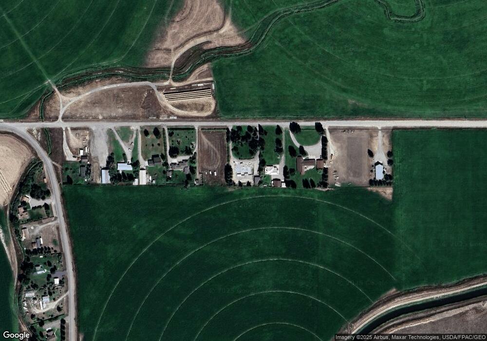
Map
Nearby Homes
- Blacktail Rd
- 1206 E Glendale St
- 805 E Orr St
- 915 E Reeder St
- 606 S Arizona St
- 434 E Dillon St
- TBD Blacktail Rd
- 626 S Pacific St
- 634 E Center St
- 923 S Washington St
- 30 N Walnut St
- 31 N Dakota St
- 206 N Pacific St
- 652 Kentucky Ave
- 35 E Bannack St
- 315 S Railroad Ave
- 325 S Railroad Ave
- 305 S Railroad Ave
- 531 S Rife St
- 504 Barnett Ave
- 1450 White Ln
- 1300 White Ln
- 1250 White Ln
- 1200 White Ln
- 1600 White Ln
- 1100 White Ln
- 1830 Blacktail Rd
- 1800 Blacktail Rd
- 1810 Blacktail Rd
- 1870 Blacktail Rd
- 1890 Blacktail Rd
- 2000 Blacktail Rd
- 270 Vista Dr
- 1540 E Glendale St
- 2500 Blacktail Rd
- 250 Vista Dr
- 65 Vista Dr
- TBD Vista Circle Land
- 160 Vista Cir
- 1150 Hilltop Dr
Your Personal Tour Guide
Ask me questions while you tour the home.