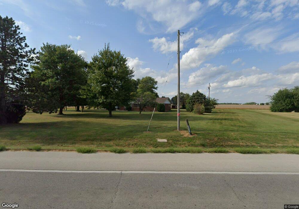
14001 N State Route 4 Unit 1 Auburn, IL 62615
Estimated Value: $185,000 - $238,000
--
Bed
--
Bath
--
Sq Ft
1.45
Acres
About This Home
This home is located at 14001 N State Route 4 Unit 1, Auburn, IL 62615 and is currently estimated at $214,552. 14001 N State Route 4 Unit 1 is a home located in Sangamon County with nearby schools including Auburn Elementary School, Auburn Middle School, and Auburn Junior High School.
Ownership History
Date
Name
Owned For
Owner Type
Purchase Details
Closed on
Oct 26, 2023
Sold by
Carol Jean Woodruff Revocable Living Tru
Bought by
Elmore John and Elmore Sharon
Current Estimated Value
Home Financials for this Owner
Home Financials are based on the most recent Mortgage that was taken out on this home.
Original Mortgage
$237,500
Outstanding Balance
$233,155
Interest Rate
7.25%
Mortgage Type
New Conventional
Estimated Equity
-$18,603
Purchase Details
Closed on
May 11, 2021
Sold by
Woodruff Carol Jean
Bought by
Carol Jean Woodruff Revocable Living Trust
Create a Home Valuation Report for This Property
The Home Valuation Report is an in-depth analysis detailing your home's value as well as a comparison with similar homes in the area
Home Values in the Area
Average Home Value in this Area
Purchase History
| Date | Buyer | Sale Price | Title Company |
|---|---|---|---|
| Elmore John | $250,000 | None Listed On Document | |
| Carol Jean Woodruff Revocable Living Trust | -- | Nichelson Bill |
Source: Public Records
Mortgage History
| Date | Status | Borrower | Loan Amount |
|---|---|---|---|
| Open | Elmore John | $237,500 |
Source: Public Records
Tax History Compared to Growth
Tax History
| Year | Tax Paid | Tax Assessment Tax Assessment Total Assessment is a certain percentage of the fair market value that is determined by local assessors to be the total taxable value of land and additions on the property. | Land | Improvement |
|---|---|---|---|---|
| 2024 | -- | $64,771 | $10,497 | $54,274 |
| 2023 | $2,466 | $59,232 | $9,599 | $49,633 |
| 2022 | $2,740 | $56,080 | $9,088 | $46,992 |
| 2021 | $2,644 | $53,856 | $8,728 | $45,128 |
| 2020 | $2,640 | $53,669 | $8,698 | $44,971 |
| 2019 | $2,569 | $52,340 | $8,483 | $43,857 |
| 2018 | $2,510 | $51,259 | $8,308 | $42,951 |
| 2017 | $0 | $0 | $0 | $0 |
Source: Public Records
Map
Nearby Homes
- 446 N 7th St Unit 1
- 1224 Commanche Rd Unit 1
- 206 S 8th St Unit 1
- 0 Illinois 104
- 158 E Monroe St
- 109 N Violet Dr Unit 1
- 3926 Circle Dr Unit 1
- 207 W Elm St
- 10553 S Main St Unit 1
- 6716 Tower Heights Rd
- 108 Kodiak Dr
- 0 Withers Rd
- 11520 Wayside Meadows Rd
- 34 Buckingham Rd Unit 1
- 0 State Route 4
- 233 W South St Unit 1
- 530 S Grand Ave
- 26 Circle
- 852 Oxford Dr Unit 1
- 448 Wintergreen Dr
- 13955 N State Route 4
- 1118 W North St Unit 1
- 1116 W North St Unit 1
- 1036 W North St Unit 1
- 13905 N State Route 4 Unit 1
- 13905 Illinois 4
- 13900 N State Route 4
- 507 Red Bud Ln Unit 1
- 1350 Illinois 4
- 505 Red Bud Ln Unit 1
- 609 N 11th St Unit 1
- 1004 Lincoln St Unit 1
- 605 N 11th St Unit 1
- 508 N 11th St
- 506 Red Bud Ln Unit 1
- 503 Red Bud Ln Unit 1
- 511 N 11th St
- 1001 Lincoln St Unit 1
- 1006 W North St
- 506 N 11th St