14003 Sandy Oaks Dr Whitney, TX 76692
Estimated Value: $287,342 - $378,000
3
Beds
2
Baths
1,592
Sq Ft
$208/Sq Ft
Est. Value
About This Home
This home is located at 14003 Sandy Oaks Dr, Whitney, TX 76692 and is currently estimated at $331,336, approximately $208 per square foot. 14003 Sandy Oaks Dr is a home located in Hill County with nearby schools including Whitney Elementary School, Whitney Intermediate School, and Whitney Middle School.
Ownership History
Date
Name
Owned For
Owner Type
Purchase Details
Closed on
May 2, 2011
Sold by
Snyder Vernon L and Snyder Brenda
Bought by
Bradley Leslie H and Bradley Debra K
Current Estimated Value
Home Financials for this Owner
Home Financials are based on the most recent Mortgage that was taken out on this home.
Original Mortgage
$78,900
Interest Rate
4.82%
Mortgage Type
Purchase Money Mortgage
Create a Home Valuation Report for This Property
The Home Valuation Report is an in-depth analysis detailing your home's value as well as a comparison with similar homes in the area
Home Values in the Area
Average Home Value in this Area
Purchase History
| Date | Buyer | Sale Price | Title Company |
|---|---|---|---|
| Bradley Leslie H | -- | Micro Title Hill County Llc |
Source: Public Records
Mortgage History
| Date | Status | Borrower | Loan Amount |
|---|---|---|---|
| Closed | Bradley Leslie H | $78,900 |
Source: Public Records
Tax History Compared to Growth
Tax History
| Year | Tax Paid | Tax Assessment Tax Assessment Total Assessment is a certain percentage of the fair market value that is determined by local assessors to be the total taxable value of land and additions on the property. | Land | Improvement |
|---|---|---|---|---|
| 2025 | $3,454 | $225,210 | $33,610 | $191,600 |
| 2024 | $3,452 | $225,130 | $33,610 | $191,520 |
| 2023 | $3,395 | $218,030 | $33,610 | $184,420 |
| 2022 | $3,620 | $193,550 | $24,030 | $169,520 |
| 2021 | $3,569 | $167,950 | $24,030 | $143,920 |
| 2020 | $3,621 | $163,110 | $24,030 | $139,080 |
| 2019 | $3,537 | $152,130 | $21,260 | $130,870 |
| 2018 | $3,542 | $152,580 | $21,470 | $131,110 |
| 2017 | $3,620 | $154,510 | $21,480 | $133,030 |
| 2016 | $3,590 | $153,210 | $22,740 | $130,470 |
| 2015 | -- | $147,450 | $21,250 | $126,200 |
| 2014 | -- | $145,220 | $22,490 | $122,730 |
Source: Public Records
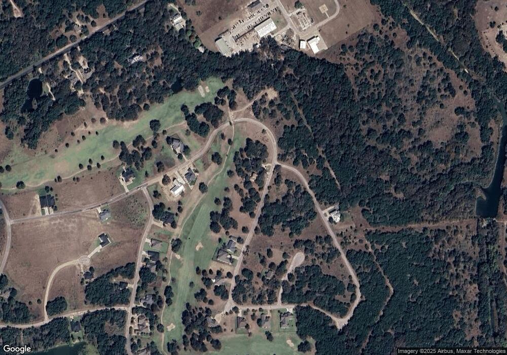
Map
Nearby Homes
- 14063 Sandy Oaks Dr
- 14004 Sandy Oaks Dr
- 14024 Sandy Oaks Dr
- 14048 Sandy Oaks Dr
- 7138 Sandy Oaks Dr
- 7141 Sandy Oaks Dr
- 14076 Sandy Oaks Dr
- 7135 Sandy Oaks Dr
- 39181 Misty Valley Cir
- 13012 Crestwood Dr
- 1545 White Bluff Dr
- 13005 Crestwood Dr
- 1090 White Bluff Dr
- 1091 White Bluff Dr
- 1554 Foxfire Ct
- 13106 Range Ct
- 1497 Sage Ct
- 39279 Cedar Park Dr
- 39278 Cedar Park Dr
- 16021 Faircrest Dr
- 14002 Sandy Oaks Dr
- 14045 Sandy Oaks Dr
- 14007 Sandy Oaks Dr
- 14051 Sandy Oaks Dr
- 14009 Sandy Oaks Dr
- 7145 Sandy Oaks Dr
- 14010 Sandy Oaks Dr
- 14038 Sandy Oaks Dr
- 7146 Sandy Oaks Dr
- 7140 Eagles Nest Dr
- 14059 Sandy Oaks Dr
- 14063 Sandy Oaks Ct
- 7144 Sandy Oaks Dr
- 14012 Sandy Oaks Dr
- 13028 Eagles Nest Dr
- 7149 Sandy Oaks Dr
- 14057 Sandy Oaks Dr
- 14035 Sandy Oaks Dr
- 14067 Sandy Oaks Dr
- 13027 Eagles Nest Dr