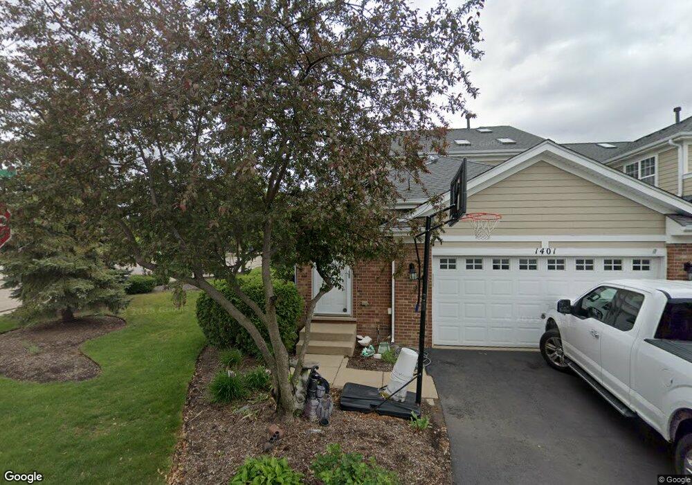
1401 Brownstone Place Unit 32 Schaumburg, IL 60193
South Schaumburg NeighborhoodEstimated Value: $528,835 - $580,000
3
Beds
4
Baths
2,263
Sq Ft
$245/Sq Ft
Est. Value
About This Home
This home is located at 1401 Brownstone Place Unit 32, Schaumburg, IL 60193 and is currently estimated at $554,709, approximately $245 per square foot. 1401 Brownstone Place Unit 32 is a home located in Cook County with nearby schools including Hanover Highlands Elementary School, Robert Frost Junior High School, and Schaumburg High School.
Ownership History
Date
Name
Owned For
Owner Type
Purchase Details
Closed on
Nov 16, 2007
Sold by
Integra Bank Na
Bought by
Kaler Jaspal Singh and Kaler Jatinder S
Current Estimated Value
Home Financials for this Owner
Home Financials are based on the most recent Mortgage that was taken out on this home.
Original Mortgage
$365,136
Interest Rate
6.13%
Mortgage Type
Unknown
Create a Home Valuation Report for This Property
The Home Valuation Report is an in-depth analysis detailing your home's value as well as a comparison with similar homes in the area
Home Values in the Area
Average Home Value in this Area
Purchase History
| Date | Buyer | Sale Price | Title Company |
|---|---|---|---|
| Kaler Jaspal Singh | $456,500 | Cti |
Source: Public Records
Mortgage History
| Date | Status | Borrower | Loan Amount |
|---|---|---|---|
| Previous Owner | Kaler Jaspal Singh | $365,136 |
Source: Public Records
Tax History Compared to Growth
Tax History
| Year | Tax Paid | Tax Assessment Tax Assessment Total Assessment is a certain percentage of the fair market value that is determined by local assessors to be the total taxable value of land and additions on the property. | Land | Improvement |
|---|---|---|---|---|
| 2024 | $10,925 | $39,000 | $5,500 | $33,500 |
| 2023 | $10,594 | $39,000 | $5,500 | $33,500 |
| 2022 | $10,594 | $39,000 | $5,500 | $33,500 |
| 2021 | $9,387 | $30,970 | $1,258 | $29,712 |
| 2020 | $9,225 | $30,970 | $1,258 | $29,712 |
| 2019 | $9,327 | $34,798 | $1,258 | $33,540 |
| 2018 | $10,004 | $33,334 | $1,110 | $32,224 |
| 2017 | $9,846 | $33,334 | $1,110 | $32,224 |
| 2016 | $9,208 | $33,334 | $1,110 | $32,224 |
| 2015 | $11,147 | $37,261 | $962 | $36,299 |
| 2014 | $11,025 | $37,261 | $962 | $36,299 |
| 2013 | $10,743 | $37,261 | $962 | $36,299 |
Source: Public Records
Map
Nearby Homes
- 1410 Brownstone Place Unit 38
- 1882 Keystone Place Unit 1882
- 7018 Orchard Ln
- 7031 Glenwood Ln
- 7468 Filmore Ave
- 1463 Mercury Dr Unit 304
- 1463 Mercury Dr Unit 115
- 1463 Mercury Dr Unit 408
- 763 Verandah Dr
- 1460 Fairlane Dr Unit 513
- 1460 Fairlane Dr Unit 228
- 1460 Fairlane Dr Unit 106
- 1309 Fairlane Dr
- 6908 Orchard Ln
- 1515 Mercury Dr Unit 4
- 6915 Hawthorne Ln
- 1020 Webster Ln
- 7418 Nantucket Cove
- 1011 Mercury Dr Unit 7
- 1014 Webster Ln
- 1403 Brownstone Place Unit 31
- 1405 Brownstone Place Unit 30
- 1407 Brownstone Place Unit 29
- 1400 Flagstone Place
- 1402 Flagstone Place Unit 18
- 1404 Flagstone Place Unit 19
- 1402 Brownstone Place Unit 34
- 1404 Brownstone Place Unit 35
- 1406 Flagstone Place Unit 20
- 1411 Brownstone Place
- 1411 Brownstone Place Unit 27
- 1400 Brownstone Place Unit 33
- 1408 Brownstone Place Unit 37
- 1408 Flagstone Place Unit 21
- 1413 Brownstone Place Unit 26
- 1410 Flagstone Place Unit 22
- 1412 Brownstone Place Unit 39
- 1415 Brownstone Place Unit 25
- 1412 Flagstone Place Unit 23
- 1414 Brownstone Place Unit 40