1401 Carnoustie Ct Unit 8A San Angelo, TX 76904
Bentwood Country Club Estates NeighborhoodEstimated Value: $589,000 - $663,431
--
Bed
--
Bath
2,567
Sq Ft
$245/Sq Ft
Est. Value
About This Home
This home is located at 1401 Carnoustie Ct Unit 8A, San Angelo, TX 76904 and is currently estimated at $628,108, approximately $244 per square foot. 1401 Carnoustie Ct Unit 8A is a home located in Tom Green County with nearby schools including Lamar Elementary School, Glenn Middle School, and Central High School.
Ownership History
Date
Name
Owned For
Owner Type
Purchase Details
Closed on
Jan 2, 2024
Sold by
Watkins Tracie and Watkins Kevin
Bought by
Jackson Leslie Ann and Jackson Brian Ross
Current Estimated Value
Home Financials for this Owner
Home Financials are based on the most recent Mortgage that was taken out on this home.
Original Mortgage
$485,600
Outstanding Balance
$477,210
Interest Rate
7.29%
Mortgage Type
New Conventional
Estimated Equity
$150,898
Purchase Details
Closed on
Aug 13, 2020
Sold by
Frontier Real Estate Investments Inc
Bought by
Watkins Tracie and Watkins Kevin
Home Financials for this Owner
Home Financials are based on the most recent Mortgage that was taken out on this home.
Original Mortgage
$470,250
Interest Rate
3%
Mortgage Type
New Conventional
Purchase Details
Closed on
Oct 3, 2008
Sold by
Robertson Charles D
Bought by
Robertson Charles D
Purchase Details
Closed on
Nov 5, 1997
Sold by
Robertson Charles D
Bought by
Robertson Charles D
Create a Home Valuation Report for This Property
The Home Valuation Report is an in-depth analysis detailing your home's value as well as a comparison with similar homes in the area
Home Values in the Area
Average Home Value in this Area
Purchase History
| Date | Buyer | Sale Price | Title Company |
|---|---|---|---|
| Jackson Leslie Ann | -- | None Listed On Document | |
| Watkins Tracie | -- | None Available | |
| Robertson Charles D | -- | -- | |
| Robertson Charles D | -- | -- |
Source: Public Records
Mortgage History
| Date | Status | Borrower | Loan Amount |
|---|---|---|---|
| Open | Jackson Leslie Ann | $485,600 | |
| Previous Owner | Watkins Tracie | $470,250 |
Source: Public Records
Tax History Compared to Growth
Tax History
| Year | Tax Paid | Tax Assessment Tax Assessment Total Assessment is a certain percentage of the fair market value that is determined by local assessors to be the total taxable value of land and additions on the property. | Land | Improvement |
|---|---|---|---|---|
| 2025 | $9,631 | $582,050 | $72,120 | $509,930 |
| 2024 | $8,900 | $553,730 | $72,120 | $481,610 |
| 2023 | $8,842 | $579,370 | $97,860 | $481,510 |
| 2022 | $966 | $500,400 | $43,590 | $456,810 |
| 2021 | $11,880 | $490,030 | $0 | $0 |
| 2020 | $1,071 | $43,590 | $43,590 | $0 |
| 2019 | $497 | $19,620 | $19,620 | $0 |
| 2018 | $495 | $19,620 | $19,620 | $0 |
| 2017 | $492 | $19,620 | $19,620 | $0 |
| 2016 | $1,093 | $10,800 | $10,800 | $0 |
| 2015 | $273 | $10,800 | $10,800 | $0 |
| 2014 | $277 | $10,800 | $10,800 | $0 |
| 2013 | $277 | $10,800 | $0 | $0 |
Source: Public Records
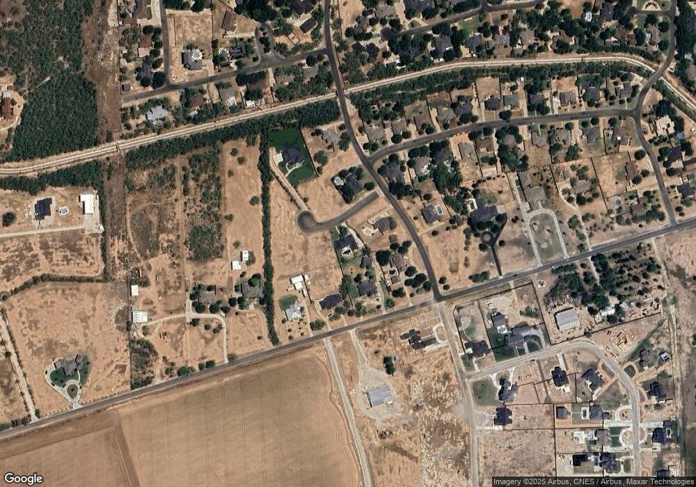
Map
Nearby Homes
- 2830 Country Club Rd
- 7152 Club Creek Ln
- 1204 Sea Island Rd
- 1822 Bunker Dr Unit 136
- 1821 Bunker Dr Unit 137
- 1824 Fringe Cir Unit 123
- 1821 Fringe Cir Unit 125
- 1818 Bunker Dr Unit 135
- 1820 Fringe Cir Unit 122
- 1825 Fringe Cir Unit 124
- 1817 Bunker Dr Unit 138
- 1814 Bunker Dr Unit 134
- 1813 Bunker Dr Unit 139
- 1818 Fringe Cir Unit 121
- 1821 Divot Cir Unit 111
- 1776 Bunker Dr Unit 145A
- 1772 Bunker Dr Unit 146A
- 1826 Divot Cir Unit 107
- 1809 Bunker Dr Unit 140
- 1813 Fringe Cir Unit 127
- 1401 Carnoustie Ct
- 1407 Carnoustie Ct Unit 8B
- 6929 Hilton Head Blvd
- 6867 Hilton Head Blvd
- 6891 Hilton Head Blvd
- 6891 Hilton Head Blvd Unit 9
- 1419 Carnoustie Ct Unit 8B
- 2470 Country Club Rd
- 6959 Hilton Head Blvd
- 6959 Hilton Head Blvd
- 1465 Gleneagles Dr
- 2520 Country Club Rd
- 6901 Hilton Head Blvd
- 6901 Hilton Head Blvd Unit 8
- 6831 Hilton Head Blvd
- 1445 Gleneagles Dr
- 1414 Carnoustie Ct
- 2570 Country Club Rd
- 6982 Hilton Head Blvd
- 1482 Gleneagles Dr